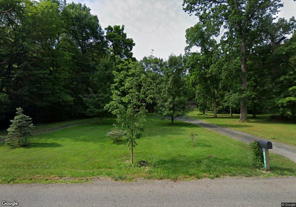
6541 New Rd Youngstown, OH 44515
Austintown NeighborhoodEstimated Value: $273,298 - $342,000
3
Beds
2
Baths
1,752
Sq Ft
$172/Sq Ft
Est. Value
About This Home
This home is located at 6541 New Rd, Youngstown, OH 44515 and is currently estimated at $301,325, approximately $171 per square foot. 6541 New Rd is a home located in Mahoning County with nearby schools including Austintown Elementary School, Austintown Intermediate School, and Austintown Middle School.
Ownership History
Date
Name
Owned For
Owner Type
Purchase Details
Closed on
Jul 26, 2007
Sold by
Margala Eric A and Margala Lori A
Bought by
Veauthier Robert
Current Estimated Value
Home Financials for this Owner
Home Financials are based on the most recent Mortgage that was taken out on this home.
Original Mortgage
$135,920
Outstanding Balance
$86,497
Interest Rate
6.76%
Mortgage Type
Purchase Money Mortgage
Estimated Equity
$214,828
Purchase Details
Closed on
Apr 25, 2003
Sold by
Duncko Joseph T and Duncko Cheryl A
Bought by
Margala Eric A and Margala Lori A
Home Financials for this Owner
Home Financials are based on the most recent Mortgage that was taken out on this home.
Original Mortgage
$124,000
Interest Rate
5.86%
Purchase Details
Closed on
Jul 19, 1993
Bought by
Duncko Jos T and Duncko Cheryl A
Create a Home Valuation Report for This Property
The Home Valuation Report is an in-depth analysis detailing your home's value as well as a comparison with similar homes in the area
Home Values in the Area
Average Home Value in this Area
Purchase History
| Date | Buyer | Sale Price | Title Company |
|---|---|---|---|
| Veauthier Robert | $169,700 | Reliable Title Agency Inc | |
| Margala Eric A | $155,000 | -- | |
| Duncko Jos T | $134,500 | -- |
Source: Public Records
Mortgage History
| Date | Status | Borrower | Loan Amount |
|---|---|---|---|
| Open | Veauthier Robert | $135,920 | |
| Previous Owner | Margala Eric A | $124,000 |
Source: Public Records
Tax History Compared to Growth
Tax History
| Year | Tax Paid | Tax Assessment Tax Assessment Total Assessment is a certain percentage of the fair market value that is determined by local assessors to be the total taxable value of land and additions on the property. | Land | Improvement |
|---|---|---|---|---|
| 2024 | $3,318 | $72,290 | $18,060 | $54,230 |
| 2023 | $3,267 | $72,290 | $18,060 | $54,230 |
| 2022 | $2,951 | $52,320 | $16,530 | $35,790 |
| 2021 | $2,953 | $52,320 | $16,530 | $35,790 |
| 2020 | $2,965 | $52,320 | $16,530 | $35,790 |
| 2019 | $3,129 | $50,320 | $15,900 | $34,420 |
| 2018 | $3,012 | $50,320 | $15,900 | $34,420 |
| 2017 | $3,009 | $50,320 | $15,900 | $34,420 |
| 2016 | $2,823 | $46,730 | $13,250 | $33,480 |
| 2015 | $2,737 | $46,730 | $13,250 | $33,480 |
| 2014 | $2,750 | $46,730 | $13,250 | $33,480 |
| 2013 | $2,721 | $46,730 | $13,250 | $33,480 |
Source: Public Records
Map
Nearby Homes
- 6581 Country Ridge Ave
- 6370 Fairview Rd
- 6488 S Timberidge Dr
- 244 Wilcox Rd
- 557 Wilcox Rd Unit A
- 701 Oberlin Place
- 519 Wilcox Rd Unit A
- 0 Fairview Rd
- 5678 Cider Mill Crossing
- 370 Wilcox Rd
- 124 Wilcox Rd Unit 124
- 138 Wilcox Rd Unit 138
- 6947 Winterpark Ave
- 5640 Baylor Ave
- 5559 London Dr
- 5677 Mahoning Ave
- 5318 Pinecrest Ave
- 3013 Whispering Pines Dr
- 2792 S Canfield Niles Rd
- 3189 Meanderwood Dr
- 6363 New Rd
- 6255 New Rd
- 6308 New Rd
- 1698 Westwind Place
- 6381 New Rd
- 1865 Tanner Ln
- 5882 Country Trail
- 6368 New Rd
- 1885 Tanner Ln
- 5890 Country Trail
- 1688 Westwind Place
- 1695 Westwind Place
- 6388 New Rd
- 5896 Country Trail
- 5876 Country Trail
- 6225 New Rd
- 5902 Country Trail
- 5944 Country Trail
- 5938 Country Trail
- 5870 Country Trail