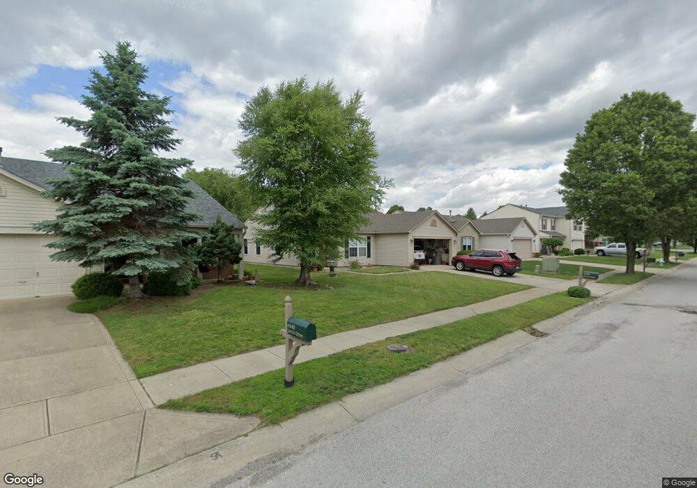
6546 Jarvis Dr Indianapolis, IN 46237
South Franklin NeighborhoodEstimated Value: $249,767 - $257,000
3
Beds
2
Baths
1,418
Sq Ft
$179/Sq Ft
Est. Value
About This Home
This home is located at 6546 Jarvis Dr, Indianapolis, IN 46237 and is currently estimated at $254,192, approximately $179 per square foot. 6546 Jarvis Dr is a home located in Marion County with nearby schools including Franklin Central High School, Curtis Wilson Primary School and Academy, and Southport Presbyterian Christian School.
Ownership History
Date
Name
Owned For
Owner Type
Purchase Details
Closed on
May 27, 2016
Sold by
Gordon Matthew W and Gordon Tamera J
Bought by
Dixon Dennis D and Dixon Rita M
Current Estimated Value
Home Financials for this Owner
Home Financials are based on the most recent Mortgage that was taken out on this home.
Original Mortgage
$121,977
Outstanding Balance
$97,364
Interest Rate
3.66%
Mortgage Type
VA
Estimated Equity
$156,828
Purchase Details
Closed on
Sep 22, 2005
Sold by
Rockel David W and Whitney Annalecia
Bought by
Gordon Matthew W and Gordon Tamera J
Home Financials for this Owner
Home Financials are based on the most recent Mortgage that was taken out on this home.
Original Mortgage
$106,270
Interest Rate
5.83%
Mortgage Type
FHA
Create a Home Valuation Report for This Property
The Home Valuation Report is an in-depth analysis detailing your home's value as well as a comparison with similar homes in the area
Home Values in the Area
Average Home Value in this Area
Purchase History
| Date | Buyer | Sale Price | Title Company |
|---|---|---|---|
| Dixon Dennis D | -- | First American Title | |
| Gordon Matthew W | -- | Chicago Title Ins Co |
Source: Public Records
Mortgage History
| Date | Status | Borrower | Loan Amount |
|---|---|---|---|
| Open | Dixon Dennis D | $121,977 | |
| Previous Owner | Gordon Matthew W | $106,270 |
Source: Public Records
Tax History Compared to Growth
Tax History
| Year | Tax Paid | Tax Assessment Tax Assessment Total Assessment is a certain percentage of the fair market value that is determined by local assessors to be the total taxable value of land and additions on the property. | Land | Improvement |
|---|---|---|---|---|
| 2024 | $2,114 | $211,200 | $19,300 | $191,900 |
| 2023 | $2,114 | $202,600 | $19,300 | $183,300 |
| 2022 | $1,993 | $186,400 | $19,300 | $167,100 |
| 2021 | $1,779 | $169,500 | $19,300 | $150,200 |
| 2020 | $1,591 | $150,900 | $19,300 | $131,600 |
| 2019 | $1,456 | $137,500 | $17,400 | $120,100 |
| 2018 | $1,346 | $126,700 | $17,400 | $109,300 |
| 2017 | $1,247 | $117,000 | $17,400 | $99,600 |
| 2016 | $1,190 | $111,500 | $17,400 | $94,100 |
| 2014 | $1,061 | $106,100 | $17,400 | $88,700 |
| 2013 | $1,022 | $102,200 | $17,400 | $84,800 |
Source: Public Records
Map
Nearby Homes
- 6540 Jarvis Dr
- 6557 Jarvis Dr
- 6634 Frankenberger Dr
- 8437 Crosser Dr
- 8434 Smithfield Ln
- 8414 Kirklin Ct
- 6803 Smithfield Blvd
- 8418 Flick Way
- 6703 Locust Grove Dr
- 6552 Locust Grove Dr
- 6726 E County Line Rd
- 8251 Garden Ridge Rd
- 8241 Morera Ct
- 6941 Rutherford Dr
- 8223 Morera Ct
- 6527 Southern Ridge Dr
- 8135 Borland Dr
- 8451 S Arlington Ave
- 8105 Milender Blvd
- 7145 Copeland Rd
- 6552 Jarvis Dr
- 6534 Jarvis Dr
- 6543 Frankenberger Dr
- 6602 Jarvis Dr
- 6549 Frankenberger Dr
- 6537 Frankenberger Dr
- 6555 Frankenberger Dr
- 6531 Frankenberger Dr
- 6525 Frankenberger Dr
- 6545 Jarvis Dr
- 6551 Jarvis Dr
- 6539 Jarvis Dr
- 6611 Frankenberger Dr
- 6625 Frankenberger Dr
- 6533 Jarvis Dr
- 6603 Jarvis Dr
- 6633 Frankenberger Dr
- 6519 Frankenberger Dr
- 6527 Jarvis Dr
- 661 Jarvis Dr