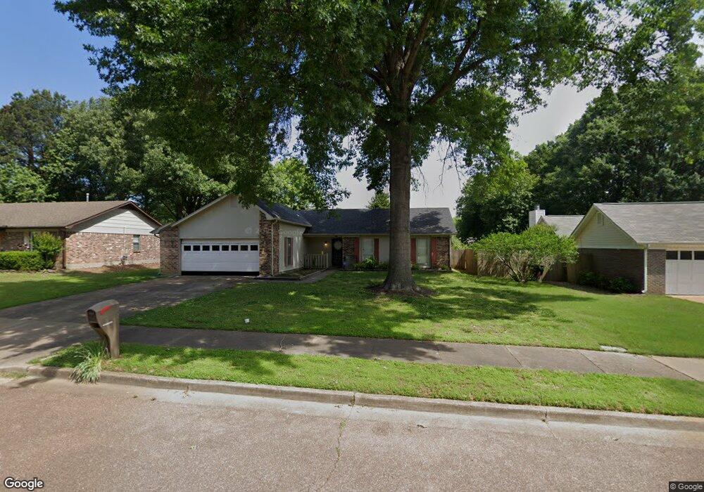
6554 S Earhart Dr Memphis, TN 38134
Estimated Value: $239,000 - $271,543
3
Beds
2
Baths
1,375
Sq Ft
$185/Sq Ft
Est. Value
About This Home
This home is located at 6554 S Earhart Dr, Memphis, TN 38134 and is currently estimated at $253,886, approximately $184 per square foot. 6554 S Earhart Dr is a home located in Shelby County with nearby schools including Altruria Elementary School, Elmore Park Middle School, and Bartlett High School.
Ownership History
Date
Name
Owned For
Owner Type
Purchase Details
Closed on
Jun 23, 2008
Sold by
Kante Mohamed
Bought by
Kamara Naima
Current Estimated Value
Purchase Details
Closed on
May 27, 2005
Sold by
Rush Carolyn K
Bought by
Kante Mohamed
Home Financials for this Owner
Home Financials are based on the most recent Mortgage that was taken out on this home.
Original Mortgage
$99,920
Interest Rate
5.69%
Mortgage Type
Fannie Mae Freddie Mac
Create a Home Valuation Report for This Property
The Home Valuation Report is an in-depth analysis detailing your home's value as well as a comparison with similar homes in the area
Home Values in the Area
Average Home Value in this Area
Purchase History
| Date | Buyer | Sale Price | Title Company |
|---|---|---|---|
| Kamara Naima | -- | None Available | |
| Kante Mohamed | $124,900 | -- |
Source: Public Records
Mortgage History
| Date | Status | Borrower | Loan Amount |
|---|---|---|---|
| Previous Owner | Kante Mohamed | $99,920 | |
| Closed | Kante Mohamed | $24,980 |
Source: Public Records
Tax History Compared to Growth
Tax History
| Year | Tax Paid | Tax Assessment Tax Assessment Total Assessment is a certain percentage of the fair market value that is determined by local assessors to be the total taxable value of land and additions on the property. | Land | Improvement |
|---|---|---|---|---|
| 2025 | $1,442 | $69,100 | $13,725 | $55,375 |
| 2024 | $1,442 | $42,550 | $8,800 | $33,750 |
| 2023 | $2,179 | $42,550 | $8,800 | $33,750 |
| 2022 | $2,179 | $42,550 | $8,800 | $33,750 |
| 2021 | $2,213 | $42,550 | $8,800 | $33,750 |
| 2020 | $1,945 | $33,075 | $8,225 | $24,850 |
| 2019 | $1,945 | $33,075 | $8,225 | $24,850 |
| 2018 | $1,945 | $33,075 | $8,225 | $24,850 |
| 2017 | $1,359 | $33,075 | $8,225 | $24,850 |
| 2016 | $1,397 | $31,975 | $0 | $0 |
| 2014 | $1,397 | $31,975 | $0 | $0 |
Source: Public Records
Map
Nearby Homes
- 3265 Laurel Creek Rd
- 6635 Star Valley Dr
- 3393 Mowrey Cove
- 6371 Briergate Dr
- 6510 Baird Ln
- 6352 Barwick Dr
- 6324 Prairie View Dr
- 3082 Kirby Whitten Rd
- 6337 Eastbrier Dr
- 6516 Stone Lake Dr
- 6806 Briarfield Ln
- 3148 Hill Lake Dr
- 6267 Barwick Dr
- 6261 Star Valley Dr
- Webster Plan at Union Depot
- Asher Plan at Union Depot
- Glenmore Plan at Union Depot
- Manning Plan at Union Depot
- Lewis Plan at Union Depot
- Emerson Plan at Union Depot
- 6562 S Earhart Dr
- 6546 S Earhart Dr
- 3280 Clearview Cove
- 3279 Clearview Cove
- 6536 S Earhart Dr
- 6570 S Earhart Dr
- 6555 S Earhart Dr
- 6547 S Earhart Dr
- 3271 Eastdale Ln
- 6563 S Earhart Dr
- 3286 Clearview Cove
- 6539 S Earhart Dr
- 3262 W Earhart Dr
- 6571 S Earhart Dr
- 3281 Eastdale Ln
- 3285 Clearview Cove
- 3224 Bright Star Cove
- 6533 S Earhart Dr
- 3270 W Earhart Dr
- 6561 Deermont Dr