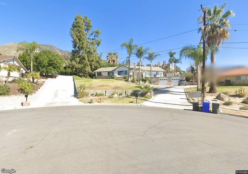
6557 Summit Dr Highland, CA 92346
East Highlands NeighborhoodEstimated Value: $646,000 - $720,000
3
Beds
3
Baths
2,873
Sq Ft
$240/Sq Ft
Est. Value
About This Home
This home is located at 6557 Summit Dr, Highland, CA 92346 and is currently estimated at $688,894, approximately $239 per square foot. 6557 Summit Dr is a home located in San Bernardino County with nearby schools including Highland Grove Elementary School, Beattie Middle School, and Citrus Valley High School.
Ownership History
Date
Name
Owned For
Owner Type
Purchase Details
Closed on
Apr 7, 2022
Sold by
Marie Lundy Denise
Bought by
Denise M Lundy Trust
Current Estimated Value
Purchase Details
Closed on
Dec 4, 1995
Sold by
Donahue Marilyn Cram
Bought by
Lundy Bradley C and Lundy Denise Marie
Home Financials for this Owner
Home Financials are based on the most recent Mortgage that was taken out on this home.
Original Mortgage
$175,100
Interest Rate
7.38%
Mortgage Type
VA
Create a Home Valuation Report for This Property
The Home Valuation Report is an in-depth analysis detailing your home's value as well as a comparison with similar homes in the area
Home Values in the Area
Average Home Value in this Area
Purchase History
| Date | Buyer | Sale Price | Title Company |
|---|---|---|---|
| Denise M Lundy Trust | -- | None Listed On Document | |
| Lundy Bradley C | $170,000 | Chicago Title Co |
Source: Public Records
Mortgage History
| Date | Status | Borrower | Loan Amount |
|---|---|---|---|
| Previous Owner | Lundy Bradley C | $175,100 |
Source: Public Records
Tax History
| Year | Tax Paid | Tax Assessment Tax Assessment Total Assessment is a certain percentage of the fair market value that is determined by local assessors to be the total taxable value of land and additions on the property. | Land | Improvement |
|---|---|---|---|---|
| 2025 | $3,752 | $279,955 | $115,278 | $164,677 |
| 2024 | $3,516 | $274,466 | $113,018 | $161,448 |
| 2023 | $3,511 | $269,084 | $110,802 | $158,282 |
| 2022 | $3,457 | $263,807 | $108,629 | $155,178 |
| 2021 | $3,478 | $258,634 | $106,499 | $152,135 |
| 2020 | $3,416 | $255,982 | $105,407 | $150,575 |
| 2019 | $3,312 | $250,963 | $103,340 | $147,623 |
| 2018 | $3,180 | $246,042 | $101,314 | $144,728 |
| 2017 | $2,952 | $241,217 | $99,327 | $141,890 |
| 2016 | $2,917 | $236,487 | $97,379 | $139,108 |
| 2015 | $2,894 | $232,934 | $95,916 | $137,018 |
| 2014 | $2,841 | $228,371 | $94,037 | $134,334 |
Source: Public Records
Map
Nearby Homes
- 28929 Davis Ln
- 0 Gala St
- 6927 Gala St
- 28950 Clear Spring Ln
- 28999 Clear Spring Ln
- 6858 Bacon Ln
- 0 Cloverhill Dr
- 6886 Country Oaks Dr
- 7135 Highland Spring Ln
- 6632 Summertrail Place
- 28261 Cornus Ct
- 29171 Maplewood Place
- 704 Chandler W
- 28005 Nona Ave
- 4040 Piedmont Dr Unit 324
- 4040 Piedmont Dr Unit 283
- 4040 Piedmont Dr Unit 67
- 4040 Piedmont Dr Unit 356
- 4040 Piedmont Dr Unit 113
- 4040 Piedmont Dr Unit 129
- 6569 Summit Dr
- 6550 Applewood St
- 6568 Applewood St
- 6551 Summit Dr
- 28790 Live Oak Rd
- 6583 Summit Dr
- 6580 Applewood St
- 28776 Live Oak Rd
- 28775 Live Oak Rd
- 6512 Applewood St
- 6599 Summit Dr
- 28764 Live Oak Rd
- 6594 Applewood St
- 6553 Applewood St
- 6531 Applewood St
- 6600 Summit Dr
- 6577 Applewood St
- 28755 Live Oak Rd
- 6611 Summit Dr
- 28748 Live Oak Rd
Your Personal Tour Guide
Ask me questions while you tour the home.