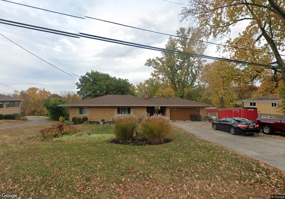
6566 Hayes Rd Cincinnati, OH 45248
Estimated Value: $273,127 - $339,000
3
Beds
2
Baths
1,960
Sq Ft
$155/Sq Ft
Est. Value
About This Home
This home is located at 6566 Hayes Rd, Cincinnati, OH 45248 and is currently estimated at $303,282, approximately $154 per square foot. 6566 Hayes Rd is a home located in Hamilton County with nearby schools including Charles W Springmyer Elementary School, Bridgetown Middle School, and Oak Hills High School.
Ownership History
Date
Name
Owned For
Owner Type
Purchase Details
Closed on
Oct 28, 1999
Sold by
Duwell David E and Duwell Vana L
Bought by
Overberg Douglas E and Overberg Melissa L
Current Estimated Value
Home Financials for this Owner
Home Financials are based on the most recent Mortgage that was taken out on this home.
Original Mortgage
$106,320
Interest Rate
7.72%
Mortgage Type
Stand Alone Second
Create a Home Valuation Report for This Property
The Home Valuation Report is an in-depth analysis detailing your home's value as well as a comparison with similar homes in the area
Home Values in the Area
Average Home Value in this Area
Purchase History
| Date | Buyer | Sale Price | Title Company |
|---|---|---|---|
| Overberg Douglas E | $132,900 | -- |
Source: Public Records
Mortgage History
| Date | Status | Borrower | Loan Amount |
|---|---|---|---|
| Closed | Overberg Douglas E | $106,320 | |
| Closed | Overberg Douglas E | $13,240 |
Source: Public Records
Tax History
| Year | Tax Paid | Tax Assessment Tax Assessment Total Assessment is a certain percentage of the fair market value that is determined by local assessors to be the total taxable value of land and additions on the property. | Land | Improvement |
|---|---|---|---|---|
| 2025 | $3,755 | $72,023 | $16,464 | $55,559 |
| 2024 | $3,661 | $72,023 | $16,464 | $55,559 |
| 2023 | $3,665 | $72,023 | $16,464 | $55,559 |
| 2022 | $2,888 | $48,066 | $16,027 | $32,039 |
| 2021 | $2,594 | $48,066 | $16,027 | $32,039 |
| 2020 | $2,628 | $48,066 | $16,027 | $32,039 |
| 2019 | $2,572 | $42,914 | $14,308 | $28,606 |
| 2018 | $2,576 | $42,914 | $14,308 | $28,606 |
| 2017 | $2,428 | $42,914 | $14,308 | $28,606 |
| 2016 | $2,270 | $40,065 | $13,594 | $26,471 |
| 2015 | $2,290 | $40,065 | $13,594 | $26,471 |
| 2014 | $2,293 | $40,065 | $13,594 | $26,471 |
| 2013 | $2,255 | $42,172 | $14,308 | $27,864 |
Source: Public Records
Map
Nearby Homes
- 3105 Laurel Hill Ln
- 3108 Laurel Hill Ln
- 6560 Springmyer Dr
- 4483 Ebenezer Rd
- 3905 Springoak Dr
- 3866 Springoak Dr
- 6880 Rackview Rd
- 1 Hutchinson Rd
- 4181 Hutchinson Rd
- 5703 Irwin Dr
- 5779 Irwin Dr
- 5771 Irwin Dr
- 5767 Irwin Dr
- 6214 Berauer Rd
- 6903 Taylor Rd
- 5775 Irwin Dr
- 6989 Carlinridge Ln
- 4510 Clearwater Place
- 4512 Clearwater Place
- 6684 Powner Farm Dr
Your Personal Tour Guide
Ask me questions while you tour the home.