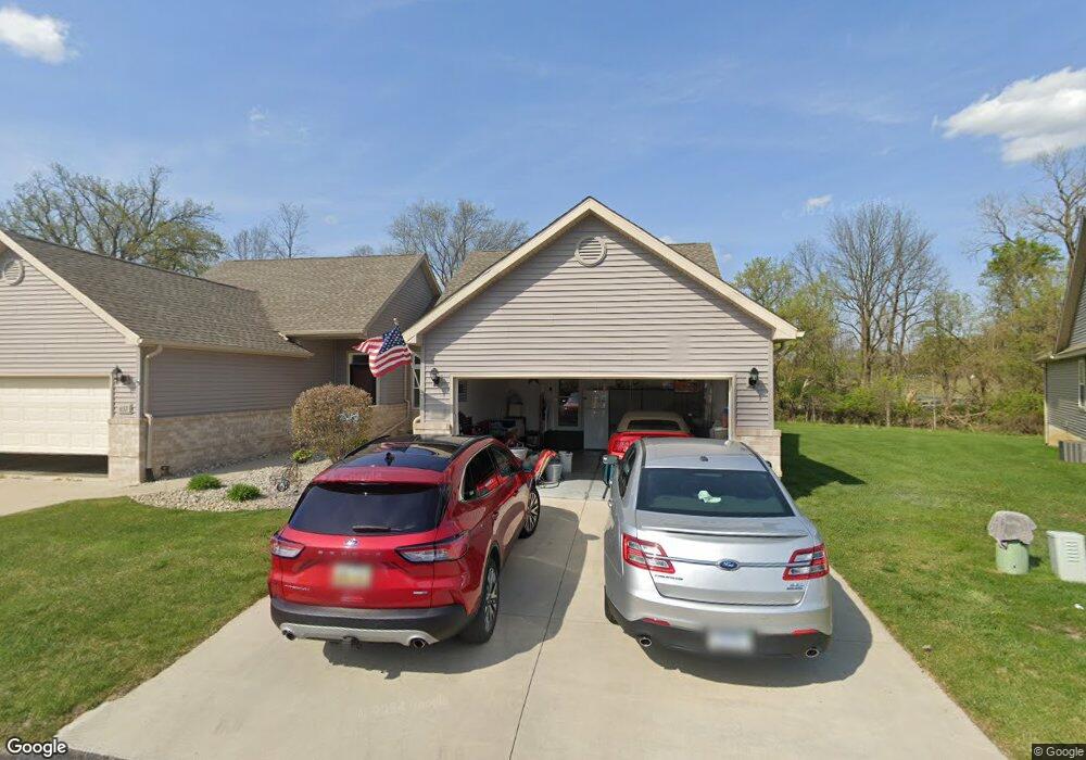
657 Ridge Ln Tecumseh, MI 49286
Estimated Value: $256,000 - $328,000
1
Bed
1
Bath
1,216
Sq Ft
$235/Sq Ft
Est. Value
About This Home
This home is located at 657 Ridge Ln, Tecumseh, MI 49286 and is currently estimated at $285,567, approximately $234 per square foot. 657 Ridge Ln is a home located in Lenawee County with nearby schools including Patterson Elementary School, Tecumseh Middle School, and Tecumseh High School.
Ownership History
Date
Name
Owned For
Owner Type
Purchase Details
Closed on
Jan 23, 2017
Sold by
Roberts Investment Company Llc
Bought by
Frye Barbara
Current Estimated Value
Home Financials for this Owner
Home Financials are based on the most recent Mortgage that was taken out on this home.
Original Mortgage
$141,453
Outstanding Balance
$117,164
Interest Rate
4.3%
Mortgage Type
New Conventional
Estimated Equity
$168,403
Purchase Details
Closed on
Dec 28, 2010
Sold by
Von Kaler Development Corp
Bought by
United Bank & Trust
Create a Home Valuation Report for This Property
The Home Valuation Report is an in-depth analysis detailing your home's value as well as a comparison with similar homes in the area
Home Values in the Area
Average Home Value in this Area
Purchase History
| Date | Buyer | Sale Price | Title Company |
|---|---|---|---|
| Frye Barbara | $181,453 | American Title Company | |
| United Bank & Trust | -- | None Available |
Source: Public Records
Mortgage History
| Date | Status | Borrower | Loan Amount |
|---|---|---|---|
| Open | Frye Barbara | $141,453 |
Source: Public Records
Tax History
| Year | Tax Paid | Tax Assessment Tax Assessment Total Assessment is a certain percentage of the fair market value that is determined by local assessors to be the total taxable value of land and additions on the property. | Land | Improvement |
|---|---|---|---|---|
| 2025 | $4,334 | $140,000 | $0 | $0 |
| 2024 | $37 | $133,100 | $0 | $0 |
| 2023 | $4,263 | $130,300 | $0 | $0 |
| 2022 | $4,101 | $112,500 | $0 | $0 |
| 2021 | $4,349 | $102,800 | $0 | $0 |
| 2020 | $4,314 | $100,800 | $0 | $0 |
| 2019 | $4,235 | $96,200 | $5,000 | $91,200 |
| 2017 | $3,294 | $86,700 | $5,000 | $81,700 |
| 2016 | $1,124 | $22,000 | $5,000 | $17,000 |
| 2014 | -- | $0 | $0 | $0 |
Source: Public Records
Map
Nearby Homes
- 1205 Reeve Dr
- 700 Blk N Occidental Rd
- 1003 Carriage Dr
- 1808 Wind Dancer Trail
- 204 Carriage Dr
- 502 Carriage Dr
- 406 Seminole Dr
- 1505 Wind Dancer Trail
- 618 Nokomis St
- 100 Beland St
- 747 Lone Oak Way
- 741 Lone Oak Way
- 739 Lone Oak Way
- 117 Park St
- 100 BLK Pleasant Dr
- 302 N Van Buren St
- 1207 W Pottawatamie St
- 734 Eagle View Way
- 730 Red Mill Point
- 9103 N Union Lot #116 St Unit 116
- 667 Ridge Ln
- 667 Ridge Ln Unit 12B
- 667 Ridge Ln Unit 12B Buttermilk Park
- 669 Ridge Ln
- 669 Ridge Ln Unit 12A
- 669 Ridge Ln Unit 12A Buttermilk Park
- 673 Ridge Ln
- 675 Ridge Ln
- 675 Ridge Ln Unit 675 Ridge Lane
- 655 Ridge Ln
- 656 Ridge Ln
- 679 Ridge Ln
- 672 Ridge Ln
- 651 Ridge Ln
- 674 Ridge Ln
- 654 Ridge Ln
- 649 Ridge Ln
- 678 Ridge Ln
- 680 Ridge Ln
- 646 Ridge Ln
Your Personal Tour Guide
Ask me questions while you tour the home.