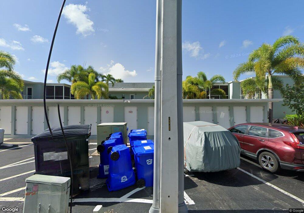
659 12th Ave S Unit 659 Naples, FL 34102
Old Naples NeighborhoodEstimated Value: $451,000 - $613,000
--
Bed
--
Bath
847
Sq Ft
$602/Sq Ft
Est. Value
About This Home
This home is located at 659 12th Ave S Unit 659, Naples, FL 34102 and is currently estimated at $510,154, approximately $602 per square foot. 659 12th Ave S Unit 659 is a home located in Collier County with nearby schools including Lake Park Elementary School, Naples High School, and Gulfview Middle School.
Ownership History
Date
Name
Owned For
Owner Type
Purchase Details
Closed on
Jul 28, 2022
Sold by
Joanne F Lyons Living Trust
Bought by
Lyons Den South Llc
Current Estimated Value
Purchase Details
Closed on
Apr 21, 2003
Sold by
Lyons Joanne F and Lyons David G
Bought by
Lyons Joanne F
Purchase Details
Closed on
Nov 16, 2000
Sold by
Hubbard Robert M
Bought by
Lyons Joanne F
Purchase Details
Closed on
Mar 7, 1996
Sold by
Marker Robert and Marker Gladys
Bought by
Hubbard Robert M
Create a Home Valuation Report for This Property
The Home Valuation Report is an in-depth analysis detailing your home's value as well as a comparison with similar homes in the area
Home Values in the Area
Average Home Value in this Area
Purchase History
| Date | Buyer | Sale Price | Title Company |
|---|---|---|---|
| Lyons Den South Llc | -- | Keating Muething & Klekamp Pll | |
| Lyons Joanne F | -- | -- | |
| Lyons Joanne F | $139,000 | -- | |
| Hubbard Robert M | $65,000 | -- |
Source: Public Records
Tax History Compared to Growth
Tax History
| Year | Tax Paid | Tax Assessment Tax Assessment Total Assessment is a certain percentage of the fair market value that is determined by local assessors to be the total taxable value of land and additions on the property. | Land | Improvement |
|---|---|---|---|---|
| 2025 | $3,912 | $305,380 | -- | -- |
| 2024 | $3,644 | $385,964 | -- | -- |
| 2023 | $3,644 | $350,876 | $0 | $0 |
| 2022 | $3,485 | $318,978 | $0 | $0 |
| 2021 | $2,976 | $289,980 | $0 | $289,980 |
| 2020 | $2,845 | $279,057 | $0 | $0 |
| 2019 | $2,702 | $253,688 | $0 | $0 |
| 2018 | $2,534 | $230,625 | $0 | $0 |
| 2017 | $2,441 | $209,659 | $0 | $0 |
| 2016 | $2,227 | $190,599 | $0 | $0 |
| 2015 | $1,935 | $173,272 | $0 | $0 |
| 2014 | $1,782 | $157,520 | $0 | $0 |
Source: Public Records
Map
Nearby Homes
- 676 Broad Ave S Unit J676
- 683 12th Ave S Unit 683
- 670 Broad Ave S Unit J670
- 663 12th Ave S Unit 663
- 611 12th Ave S Unit 611
- 603 12th Ave S
- 645 Broad Ave S
- 695 Broad Ave S
- 695 Broad Ave S Unit 19
- 634 12th Ave S Unit 634
- 604 12th Ave S Unit 604
- 676 12th Ave S Unit 676
- 709 Broad Ave S
- 745 12th Ave S Unit 102
- 1135 7th St S
- 530 Broad Ave S Unit 530
- 548 Broad Ave S Unit 548
- 657 12th Ave S Unit 657
- 661 12th Ave S Unit 661
- 655 12th Ave S Unit 655
- 667 12th Ave S Unit 667
- 665 12th Ave S Unit 665
- 653 12th Ave S Unit 653
- 651 12th Ave S Unit 651
- 673 12th Ave S Unit E
- 673 12th Ave S Unit 673
- 671 12th Ave S Unit 671
- 623 12th Ave S Unit 623
- 649 12th Ave S Unit 649
- 619 12th Ave S Unit 619
- 647 12th Ave S Unit 647
- 675 12th Ave S Unit 675
- 645 12th Ave S Unit 645
- 617 12th Ave S Unit 617
- 681 12th Ave S Unit 681
- 643 12th Ave S Unit 643
- 615 12th Ave S Unit 615
