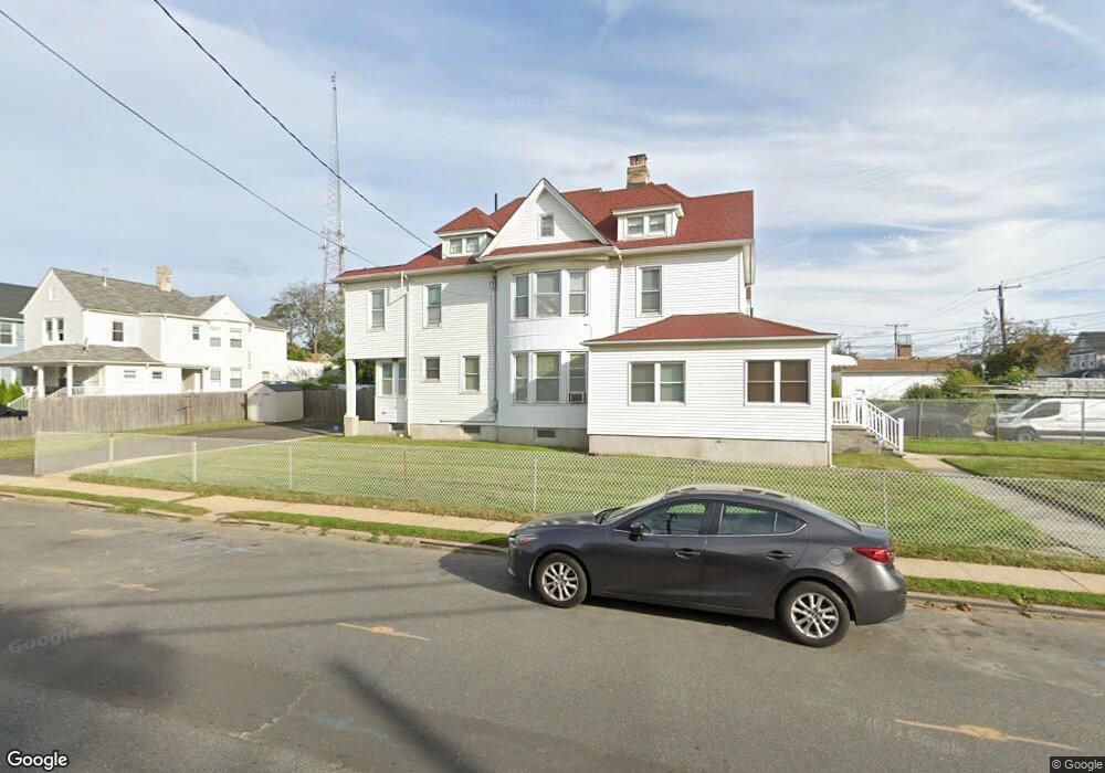
66 2nd Ave Long Branch, NJ 07740
Estimated Value: $922,038 - $1,317,000
4
Beds
4
Baths
3,066
Sq Ft
$390/Sq Ft
Est. Value
About This Home
This home is located at 66 2nd Ave, Long Branch, NJ 07740 and is currently estimated at $1,195,010, approximately $389 per square foot. 66 2nd Ave is a home located in Monmouth County with nearby schools including Long Branch High School and Holy Trinity School.
Ownership History
Date
Name
Owned For
Owner Type
Purchase Details
Closed on
Jun 6, 2023
Sold by
Stokes-Jones Andrea
Bought by
Stokes Andrea L
Current Estimated Value
Purchase Details
Closed on
Jun 10, 2008
Sold by
Stokes Lugene P and Stokes Andrea
Bought by
Stokes Jones Andrea
Create a Home Valuation Report for This Property
The Home Valuation Report is an in-depth analysis detailing your home's value as well as a comparison with similar homes in the area
Home Values in the Area
Average Home Value in this Area
Purchase History
| Date | Buyer | Sale Price | Title Company |
|---|---|---|---|
| Stokes Andrea L | -- | None Listed On Document | |
| Stokes Andrea L | -- | None Listed On Document | |
| Stokes Jones Andrea | -- | None Available |
Source: Public Records
Tax History Compared to Growth
Tax History
| Year | Tax Paid | Tax Assessment Tax Assessment Total Assessment is a certain percentage of the fair market value that is determined by local assessors to be the total taxable value of land and additions on the property. | Land | Improvement |
|---|---|---|---|---|
| 2025 | $10,659 | $770,100 | $246,200 | $523,900 |
| 2024 | $9,812 | $693,500 | $216,200 | $477,300 |
| 2023 | $9,812 | $631,800 | $176,200 | $455,600 |
| 2022 | $9,265 | $542,600 | $141,200 | $401,400 |
| 2021 | $9,265 | $463,000 | $122,200 | $340,800 |
| 2020 | $9,614 | $460,000 | $121,200 | $338,800 |
| 2019 | $9,127 | $434,200 | $111,200 | $323,000 |
| 2018 | $8,760 | $414,400 | $103,200 | $311,200 |
| 2017 | $8,172 | $396,500 | $91,200 | $305,300 |
| 2016 | $7,955 | $393,600 | $96,200 | $297,400 |
| 2015 | $7,345 | $329,800 | $96,000 | $233,800 |
| 2014 | $6,654 | $314,900 | $107,400 | $207,500 |
Source: Public Records
Map
Nearby Homes
- 143 Stokes Place
- 167 Chelsea Ave
- 145 Stokes Place
- 166 Franklin Ave Unit 8
- 103 Franklin Ave
- 55 Melrose Terrace Unit 209
- 55 Melrose Terrace Unit 112
- 20 Melrose Terrace Unit 202
- 20 Melrose Terrace Unit 408
- 20 Melrose Terrace Unit 305
- 150 Franklin Ave Unit 5
- 152 Franklin Ave
- 30 Melrose Terrace Unit 209
- 30 Melrose Terrace Unit 303
- 15 Morris Ave Unit 206
- 15 Morris Ave Unit 618
- 15 Morris Ave Unit 202
- 15 Morris Ave Unit 505
- 158 Franklin Ave
- 170 Franklin Ave
- 66 2nd Ave Unit 3
- 66 2nd Ave Unit 2
- 62 2nd Ave
- 58 2nd Ave
- 125 Garfield Ave
- 129 Garfield Ave
- 129 Garfield Ave Unit 1
- 126 Garfield Ave
- 50 2nd Ave
- 57 2nd Ave
- 57 2nd Ave Unit 4
- 57 2nd Ave Unit 6
- 57 2nd Ave Unit 3
- 133 Garfield Ave
- 53 2nd Ave
- 61 2nd Ave
- 134 Garfield Ave
- 137 Garfield Ave
- 73 2nd Ave
- 49 2nd Ave Unit 3