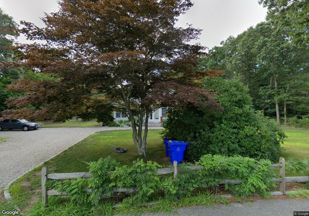
66 Depot Rd Bourne, MA 2532
Cataumet NeighborhoodEstimated Value: $776,000 - $839,000
3
Beds
4
Baths
2,643
Sq Ft
$303/Sq Ft
Est. Value
About This Home
This home is located at 66 Depot Rd, Bourne, MA 2532 and is currently estimated at $799,667, approximately $302 per square foot. 66 Depot Rd is a home located in Barnstable County with nearby schools including Bourne High School, Cadence Academy Preschool - Bourne, and Heritage Christian Academy.
Create a Home Valuation Report for This Property
The Home Valuation Report is an in-depth analysis detailing your home's value as well as a comparison with similar homes in the area
Home Values in the Area
Average Home Value in this Area
Tax History
| Year | Tax Paid | Tax Assessment Tax Assessment Total Assessment is a certain percentage of the fair market value that is determined by local assessors to be the total taxable value of land and additions on the property. | Land | Improvement |
|---|---|---|---|---|
| 2025 | $5,909 | $756,600 | $261,900 | $494,700 |
| 2024 | $5,778 | $720,400 | $249,400 | $471,000 |
| 2023 | $5,617 | $637,600 | $220,700 | $416,900 |
| 2022 | $5,704 | $565,300 | $234,400 | $330,900 |
| 2021 | $5,543 | $514,700 | $213,300 | $301,400 |
| 2020 | $5,581 | $519,600 | $211,300 | $308,300 |
| 2019 | $5,168 | $491,700 | $211,300 | $280,400 |
| 2018 | $4,969 | $471,400 | $201,300 | $270,100 |
| 2017 | $4,908 | $476,500 | $206,000 | $270,500 |
| 2016 | $4,772 | $469,700 | $206,000 | $263,700 |
| 2015 | $4,596 | $456,400 | $192,700 | $263,700 |
Source: Public Records
Map
Nearby Homes
- 15 Oak Ave
- 1234 Route 28a
- 48 Red Brook Harbor Rd
- 1234 Route 28a
- 31 Baxendale Rd
- 75 Winsor Rd
- 289 Old Main Rd
- 28 Nathan Ellis Hwy
- 16 Michael Rd
- 254 Barlows Landing Rd
- 3 4th Ave
- 7 4th Ave
- 709 County Rd
- 3 1st St
- 14 Ryder Rd
- 393 N Falmouth Hwy Unit 8
- 209 Waterside Dr
- 14 Navajo Rd
- 91 Wickertree Rd
- 10 Rockledge Dr
Your Personal Tour Guide
Ask me questions while you tour the home.