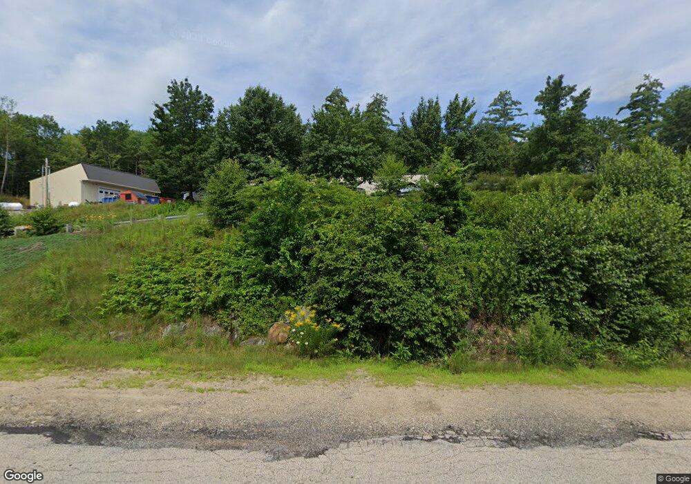
66 Gold Ledge Ave Auburn, NH 03032
Estimated Value: $944,791
--
Bed
2
Baths
7,281
Sq Ft
$130/Sq Ft
Est. Value
About This Home
This home is located at 66 Gold Ledge Ave, Auburn, NH 03032 and is currently estimated at $944,791, approximately $129 per square foot. 66 Gold Ledge Ave is a home located in Rockingham County with nearby schools including Auburn Village School and Pinkerton Academy.
Ownership History
Date
Name
Owned For
Owner Type
Purchase Details
Closed on
Nov 16, 2023
Sold by
Leacoir Holdings Llc
Bought by
Maine Drilling & Blasting
Current Estimated Value
Purchase Details
Closed on
Nov 8, 2023
Sold by
Maine Drilling & Blasting
Bought by
Leacoir Holdings Llc
Purchase Details
Closed on
May 23, 2016
Sold by
Ncal Llc
Bought by
Leacoir Holdings Llc
Purchase Details
Closed on
Jan 19, 2010
Sold by
Maxam North East Llc
Bought by
Ncal Llc
Home Financials for this Owner
Home Financials are based on the most recent Mortgage that was taken out on this home.
Original Mortgage
$80,000
Interest Rate
4.79%
Mortgage Type
Commercial
Purchase Details
Closed on
Jan 14, 2002
Sold by
Gm Explosives Supply I
Bought by
Green Mtn Explosives L
Create a Home Valuation Report for This Property
The Home Valuation Report is an in-depth analysis detailing your home's value as well as a comparison with similar homes in the area
Home Values in the Area
Average Home Value in this Area
Purchase History
| Date | Buyer | Sale Price | Title Company |
|---|---|---|---|
| Maine Drilling & Blasting | -- | None Available | |
| Leacoir Holdings Llc | -- | None Available | |
| Leacoir Holdings Llc | $425,000 | -- | |
| Ncal Llc | $400,000 | -- | |
| Green Mtn Explosives L | $400,000 | -- |
Source: Public Records
Mortgage History
| Date | Status | Borrower | Loan Amount |
|---|---|---|---|
| Previous Owner | Green Mtn Explosives L | $80,000 | |
| Previous Owner | Green Mtn Explosives L | $280,000 |
Source: Public Records
Tax History Compared to Growth
Tax History
| Year | Tax Paid | Tax Assessment Tax Assessment Total Assessment is a certain percentage of the fair market value that is determined by local assessors to be the total taxable value of land and additions on the property. | Land | Improvement |
|---|---|---|---|---|
| 2024 | $11,020 | $818,100 | $379,400 | $438,700 |
| 2023 | $10,080 | $799,400 | $379,400 | $420,000 |
| 2022 | $8,186 | $458,600 | $220,300 | $238,300 |
| 2021 | $8,319 | $458,600 | $220,300 | $238,300 |
| 2020 | $11,167 | $458,600 | $220,300 | $238,300 |
| 2019 | $11,914 | $458,600 | $220,300 | $238,300 |
| 2018 | $7,824 | $458,600 | $220,300 | $238,300 |
| 2017 | $11,922 | $401,000 | $212,700 | $188,300 |
| 2016 | $8,116 | $400,800 | $212,700 | $188,100 |
| 2015 | $8,027 | $387,600 | $212,800 | $174,800 |
| 2014 | $8,260 | $387,600 | $212,800 | $174,800 |
| 2013 | $7,593 | $387,600 | $212,800 | $174,800 |
Source: Public Records
Map
Nearby Homes
- 40 Pinyon Place
- 628 Megan Dr
- 612 Megan Dr
- 55 Norwich Place
- 34 Conifer Place
- 193 Morning Glory Dr
- 1991 Bodwell Rd Unit 30
- 22 Eastmeadow Way
- 30 Bryant Rd
- 12 Forest Hill Way Unit 57
- 90 Forest Hill Way Unit 52
- 45 Peach Tree Rd
- 759 Cohas Ave
- 593 Cohas Ave
- 59 Hawthorne Dr
- 19 Auburn Rd
- 54 Daniel Rd
- 50 Daniel Rd
- 52 Daniel Rd
- 10 Auburn Rd
- 0 Leppert Way
- 790 Londonderry Turnpike
- 3 Priscilla Ln
- 5 Priscilla Ln
- 5 Priscilla Ln Unit C
- 5 Priscilla Ln Unit B
- 5 Priscilla Ln Unit A
- 840 Londonderry Turnpike
- 88 Priscilla Ln
- 88 Priscilla Ln Unit 3
- 58 Priscilla Ln
- 58 Priscilla Ln
- 20 Priscilla Ln
- 878 Londonderry Turnpike
- 337 Rattlesnake Hill Rd
- 341 Rattlesnake Hill Rd
- 321 Rattlesnake Hill Rd
- 325 Rattlesnake Hill Rd
- 311 Rattlesnake Hill Rd
- 299 Rattlesnake Hill Rd