Estimated Value: $260,000 - $351,000
3
Beds
2
Baths
1,232
Sq Ft
$261/Sq Ft
Est. Value
About This Home
This home is located at 66 Greenwich Plns Rd, Ware, MA 01082 and is currently estimated at $321,572, approximately $261 per square foot. 66 Greenwich Plns Rd is a home located in Hampshire County with nearby schools including Stanley M. Koziol Elementary School, Ware Middle School, and Ware Junior/Senior High School.
Ownership History
Date
Name
Owned For
Owner Type
Purchase Details
Closed on
Apr 27, 1995
Sold by
Northern Mtg Co Inc and Mumley Brian T
Bought by
Desantis Richard L
Current Estimated Value
Purchase Details
Closed on
Dec 21, 1990
Sold by
Bousquet Celia B
Bought by
Mumley Brian T
Home Financials for this Owner
Home Financials are based on the most recent Mortgage that was taken out on this home.
Original Mortgage
$101,875
Interest Rate
10.02%
Mortgage Type
Purchase Money Mortgage
Create a Home Valuation Report for This Property
The Home Valuation Report is an in-depth analysis detailing your home's value as well as a comparison with similar homes in the area
Home Values in the Area
Average Home Value in this Area
Purchase History
| Date | Buyer | Sale Price | Title Company |
|---|---|---|---|
| Desantis Richard L | $34,645 | -- | |
| Mumley Brian T | $100,000 | -- |
Source: Public Records
Mortgage History
| Date | Status | Borrower | Loan Amount |
|---|---|---|---|
| Previous Owner | Mumley Brian T | $101,875 |
Source: Public Records
Tax History Compared to Growth
Tax History
| Year | Tax Paid | Tax Assessment Tax Assessment Total Assessment is a certain percentage of the fair market value that is determined by local assessors to be the total taxable value of land and additions on the property. | Land | Improvement |
|---|---|---|---|---|
| 2025 | $3,873 | $257,200 | $54,100 | $203,100 |
| 2024 | $3,717 | $227,600 | $51,000 | $176,600 |
| 2023 | $3,659 | $212,000 | $49,300 | $162,700 |
| 2022 | $3,597 | $186,000 | $45,600 | $140,400 |
| 2021 | $3,465 | $171,700 | $45,600 | $126,100 |
| 2020 | $3,377 | $163,700 | $45,600 | $118,100 |
| 2019 | $3,308 | $163,700 | $45,600 | $118,100 |
| 2018 | $3,202 | $154,600 | $44,400 | $110,200 |
| 2017 | $2,989 | $143,900 | $44,400 | $99,500 |
| 2016 | $2,930 | $145,000 | $44,400 | $100,600 |
| 2015 | $2,849 | $145,000 | $44,400 | $100,600 |
| 2014 | $2,807 | $153,300 | $45,800 | $107,500 |
Source: Public Records
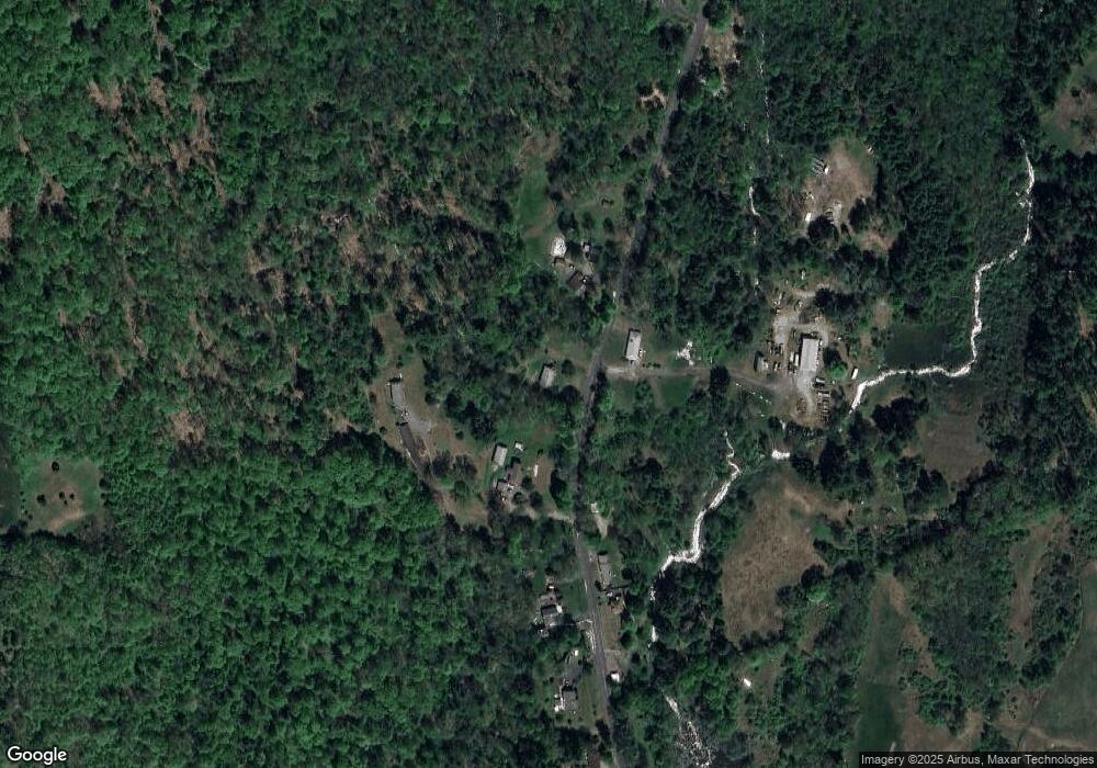
Map
Nearby Homes
- 113 Greenwich Plains Rd
- 54 Cummings Rd
- 0 Crescent St
- 0A Crescent St
- 0AB Crescent St
- 36 Berkshire Cir
- 84 Anderson Rd
- Lot 40 Osborne Rd
- 201 Belchertown Rd
- 143 Eagle St
- 84 Greenwich Rd
- 209 Osborne Rd
- Lot 23 Coldbrook Dr
- Lot 16 Coldbrook Dr
- Lot 20 Coldbrook Dr
- Lot 22 Coldbrook Dr
- Lot 13 Coldbrook Dr
- Lot 25 Coldbrook Dr
- 20 Indian Hill Rd
- 46 Horseshoe Cir
- 69 Greenwich Plns Rd
- 70 Greenwich Plains Rd
- 60 Greenwich Plns Rd
- 60 Greenwich Plains Rd
- 70 Greenwich Plns Rd
- 62 Greenwich Plns Rd
- 57 Greenwich Plns Rd
- 56 Greenwich Plns Rd
- 55 Greenwich Plns Rd
- 54 Greenwich Plns Rd
- Lot 19 Pennybrook Estates
- Lot 16 Pennybrook Estates
- Lot 22 Pennybrook Estates
- Lot 25 Pennybrook Estates
- Lot 27 Pennybrook Estates
- Lot 26 Pennybrook Estates
- Lot 20 Pennybrook Estates
- Lot 33 Pennybrook Estates
- Lot 32 Pennybrook Estates
- Lot 29 Pennybrook Estates