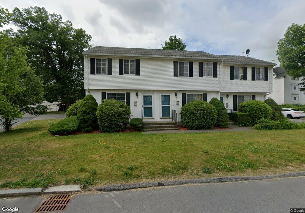
66 King Philip Rd Worcester, MA 01606
Greendale NeighborhoodEstimated Value: $283,000 - $311,000
2
Beds
1
Bath
900
Sq Ft
$330/Sq Ft
Est. Value
About This Home
This home is located at 66 King Philip Rd, Worcester, MA 01606 and is currently estimated at $296,888, approximately $329 per square foot. 66 King Philip Rd is a home located in Worcester County with nearby schools including Jacob Hiatt Magnet School, Chandler Magnet, and Thorndyke Road School.
Create a Home Valuation Report for This Property
The Home Valuation Report is an in-depth analysis detailing your home's value as well as a comparison with similar homes in the area
Home Values in the Area
Average Home Value in this Area
Tax History
| Year | Tax Paid | Tax Assessment Tax Assessment Total Assessment is a certain percentage of the fair market value that is determined by local assessors to be the total taxable value of land and additions on the property. | Land | Improvement |
|---|---|---|---|---|
| 2025 | $3,268 | $247,800 | $0 | $247,800 |
| 2024 | $3,370 | $245,100 | $0 | $245,100 |
| 2023 | $3,042 | $212,100 | $0 | $212,100 |
| 2022 | $2,776 | $182,500 | $0 | $182,500 |
| 2021 | $2,808 | $172,500 | $0 | $172,500 |
| 2020 | $2,669 | $157,000 | $0 | $157,000 |
| 2019 | $2,392 | $132,900 | $0 | $132,900 |
| 2018 | $2,369 | $125,300 | $0 | $125,300 |
| 2017 | $2,372 | $123,400 | $0 | $123,400 |
| 2016 | $2,543 | $123,400 | $0 | $123,400 |
| 2015 | $2,469 | $123,000 | $0 | $123,000 |
| 2014 | $2,403 | $123,000 | $0 | $123,000 |
Source: Public Records
Map
Nearby Homes
- 39 Whitmarsh Ave
- 18 Gosnold St
- 94 Kendrick Ave
- 15 Ericsson St
- 169 Whitmarsh Ave
- 323 Burncoat St
- 331 Burncoat St
- 66 Eunice Ave
- 30 Danielles Way
- 18 Danielles Way
- 44 Boardman St
- 31 Boardman St
- 25 Kenwood Ave
- 100 Burncoat St
- 6 Ashburnham Rd
- 58 Osceola Ave
- 46 Hastings Ave
- 37 Mohave Rd
- 248 Saint Nicholas Ave
- 110 Beverly Rd
- 66 King Philip Rd Unit 1
- 64 King Philip Rd
- 64 King Philip Rd Unit 1
- 68 King Philip Rd
- 57 Andover St
- 61 Andover St
- 65 Andover St
- 65 Andover St Unit 2
- 65 Andover St Unit 3
- 65 Andover St Unit 1
- 58 King Philip Rd
- 65 King Philip Rd
- 69 King Philip Rd
- 61 King Philip Rd
- 55 Andover St
- 55 Andover St Unit 2
- 75 King Philip Rd
- 59 King Philip Rd
- 59 King Philip Rd Unit 3
- 59 King Philip Rd Unit 2
Your Personal Tour Guide
Ask me questions while you tour the home.