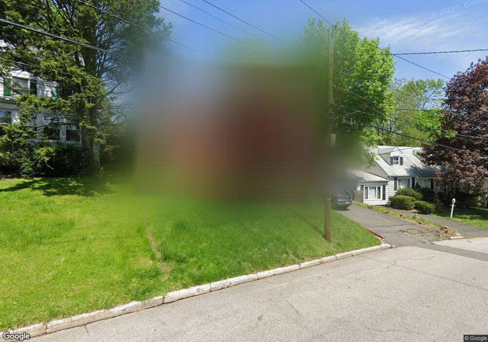
66 King St Dobbs Ferry, NY 10522
Estimated Value: $908,225 - $1,080,000
3
Beds
2
Baths
2,160
Sq Ft
$457/Sq Ft
Est. Value
About This Home
This home is located at 66 King St, Dobbs Ferry, NY 10522 and is currently estimated at $987,556, approximately $457 per square foot. 66 King St is a home located in Westchester County with nearby schools including Concord Road Elementary School, Ardsley Middle School, and Ardsley High School.
Ownership History
Date
Name
Owned For
Owner Type
Purchase Details
Closed on
Sep 10, 2010
Sold by
Corluka Zdravka
Bought by
Corluka George and Corluka Ivana
Current Estimated Value
Purchase Details
Closed on
Nov 18, 2008
Sold by
Corluka Rajko
Bought by
Corluka Zdravka
Purchase Details
Closed on
Dec 1, 1997
Sold by
Corluka Rajko and Corluka Zdravka
Bought by
Corluka Rajko
Create a Home Valuation Report for This Property
The Home Valuation Report is an in-depth analysis detailing your home's value as well as a comparison with similar homes in the area
Home Values in the Area
Average Home Value in this Area
Purchase History
| Date | Buyer | Sale Price | Title Company |
|---|---|---|---|
| Corluka George | $500,000 | Blackacre Title Agency Corp | |
| Corluka Zdravka | -- | The Judicial Title Insurance | |
| Corluka Rajko | -- | Commonwealth Land Title Ins |
Source: Public Records
Tax History
| Year | Tax Paid | Tax Assessment Tax Assessment Total Assessment is a certain percentage of the fair market value that is determined by local assessors to be the total taxable value of land and additions on the property. | Land | Improvement |
|---|---|---|---|---|
| 2024 | $23,694 | $729,000 | $320,700 | $408,300 |
| 2023 | $23,049 | $779,900 | $274,100 | $505,800 |
| 2022 | $22,111 | $726,600 | $274,100 | $452,500 |
| 2021 | $21,307 | $666,600 | $274,100 | $392,500 |
| 2020 | $20,930 | $626,100 | $274,100 | $352,000 |
| 2019 | $20,919 | $626,100 | $274,100 | $352,000 |
| 2018 | $22,834 | $626,100 | $274,100 | $352,000 |
| 2017 | $11,243 | $608,400 | $274,100 | $334,300 |
| 2016 | $21,438 | $590,600 | $274,100 | $316,500 |
| 2015 | -- | $20,350 | $1,500 | $18,850 |
| 2014 | -- | $20,350 | $1,500 | $18,850 |
| 2013 | $13,076 | $20,350 | $1,500 | $18,850 |
Source: Public Records
Map
Nearby Homes
- 40 Northfield Ave
- 22 Lewis Ave
- 0 Ashford Ave Unit KEY885130
- 0 Lyman Place Unit KEY923539
- 16 Bramblebrook Rd
- 16 Ogden Ave
- 520 Ashford Ave Unit 18
- 32 Bramblebrook Rd
- 5 Forkland Ln
- 801 Hunters Run
- 23 Bradley St
- 0 Ridge Rd Unit KEY966570
- 15 Keller Ln
- 9 Round Hill Rd
- 12 Shady Rd
- 9 Shady Rd
- 17 Manor House Dr Unit K13
- 14 Manor House Dr Unit G29
- 28 Lincoln Ave
- 118 Round Hill Rd
- 50 King St
- 55 Blanchard Ave
- 59 Blanchard Ave
- 60 King St
- 51 Blanchard Ave Unit AUE
- 44 King St
- 65 Blanchard Ave
- 51 King St
- 45 Blanchard Ave Unit AUE
- 57 King St
- 45 King St
- 40 King St
- 39 King St
- 67 Blanchard Ave
- 70 King St
- 41 Blanchard Ave
- 357 Ashford Ave
- 357 Ashford Ave Unit 2
- 69 Blanchard Ave
- 363 Ashford Ave
Your Personal Tour Guide
Ask me questions while you tour the home.