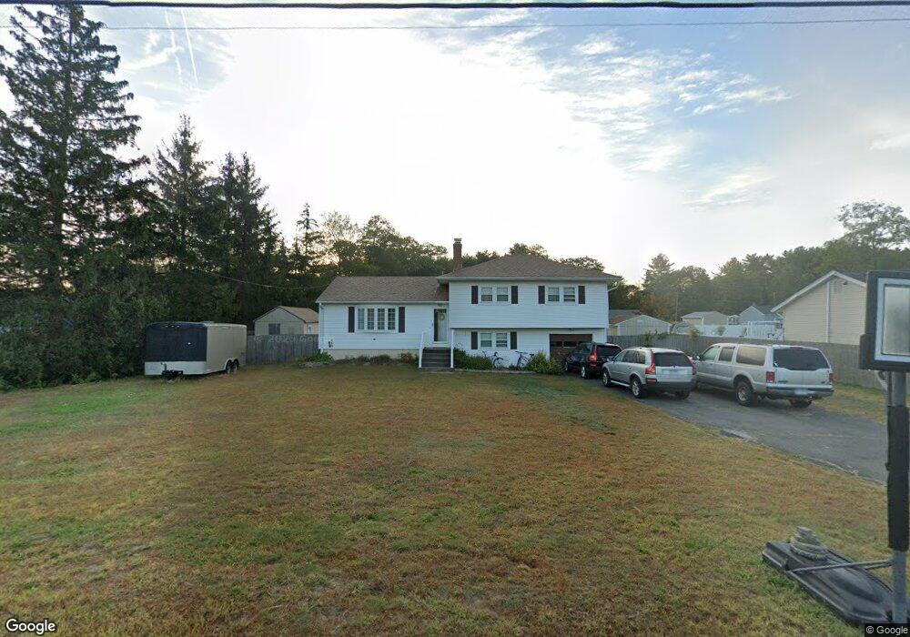
66 Poplar Dr Windsor, CT 06095
West Windsor NeighborhoodEstimated Value: $288,000 - $358,145
3
Beds
2
Baths
1,304
Sq Ft
$253/Sq Ft
Est. Value
About This Home
This home is located at 66 Poplar Dr, Windsor, CT 06095 and is currently estimated at $330,036, approximately $253 per square foot. 66 Poplar Dr is a home located in Hartford County with nearby schools including Poquonock Elementary School, Clover Street School, and Sage Park Middle School.
Ownership History
Date
Name
Owned For
Owner Type
Purchase Details
Closed on
Dec 1, 2005
Sold by
Cole Richard and Cole Caroline
Bought by
Roy Kevin and Roy Sandy
Current Estimated Value
Home Financials for this Owner
Home Financials are based on the most recent Mortgage that was taken out on this home.
Original Mortgage
$159,885
Interest Rate
7.6%
Mortgage Type
Purchase Money Mortgage
Purchase Details
Closed on
Nov 18, 2003
Sold by
Morrocco Barbara B
Bought by
Oconnell Kacey L
Purchase Details
Closed on
Aug 29, 1997
Sold by
Millerof Shirley Ann
Bought by
Cole Richard and Cole Caroline
Create a Home Valuation Report for This Property
The Home Valuation Report is an in-depth analysis detailing your home's value as well as a comparison with similar homes in the area
Home Values in the Area
Average Home Value in this Area
Purchase History
| Date | Buyer | Sale Price | Title Company |
|---|---|---|---|
| Roy Kevin | $188,100 | -- | |
| Oconnell Kacey L | $123,000 | -- | |
| Cole Richard | $120,000 | -- |
Source: Public Records
Mortgage History
| Date | Status | Borrower | Loan Amount |
|---|---|---|---|
| Open | Cole Richard | $195,895 | |
| Closed | Cole Richard | $203,500 | |
| Closed | Cole Richard | $159,885 |
Source: Public Records
Tax History Compared to Growth
Tax History
| Year | Tax Paid | Tax Assessment Tax Assessment Total Assessment is a certain percentage of the fair market value that is determined by local assessors to be the total taxable value of land and additions on the property. | Land | Improvement |
|---|---|---|---|---|
| 2024 | $6,395 | $210,910 | $55,440 | $155,470 |
| 2023 | $4,553 | $135,520 | $39,060 | $96,460 |
| 2022 | $4,509 | $135,520 | $39,060 | $96,460 |
| 2021 | $4,509 | $135,520 | $39,060 | $96,460 |
| 2020 | $4,487 | $135,520 | $39,060 | $96,460 |
| 2019 | $4,388 | $135,520 | $39,060 | $96,460 |
| 2018 | $4,017 | $121,870 | $39,060 | $82,810 |
| 2017 | $3,955 | $121,870 | $39,060 | $82,810 |
| 2016 | $3,791 | $120,260 | $39,060 | $81,200 |
| 2015 | $3,718 | $120,260 | $39,060 | $81,200 |
| 2014 | $3,664 | $120,260 | $39,060 | $81,200 |
Source: Public Records
Map
Nearby Homes
- 41 Chestnut Dr
- 999 Stone Rd
- 36 High St
- 552 Stone Rd
- 39 Loren Cir
- 49 Seymour Rd
- 10 Russell Rd
- 57 S Main St
- 16 Seymour Rd Unit 16C
- 16 Seymour Rd Unit 2A
- 85 East St
- 0 N Main St Unit LOT 17 24060796
- 20 Sweetbriar Rd
- 35 Niles Rd
- 7 Concorde Way Unit A6
- 81 Harvest Ln
- 16 Hilltop Rd
- 4 Pond Ln
- 26 Lighthouse Hill Rd
- 536 Mulberry St