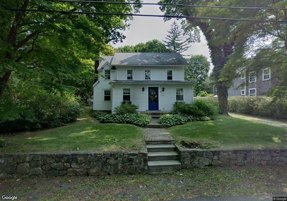
66 S Olmstead Ln Ridgefield, CT 06877
Estimated Value: $764,241 - $1,030,000
3
Beds
3
Baths
2,048
Sq Ft
$433/Sq Ft
Est. Value
About This Home
This home is located at 66 S Olmstead Ln, Ridgefield, CT 06877 and is currently estimated at $887,310, approximately $433 per square foot. 66 S Olmstead Ln is a home located in Fairfield County with nearby schools including Branchville Elementary School, Ridgefield High School, and St. Mary School.
Ownership History
Date
Name
Owned For
Owner Type
Purchase Details
Closed on
Dec 31, 1998
Sold by
Ridgefield Bk
Bought by
Scala William R and Scala Lisa K
Current Estimated Value
Purchase Details
Closed on
Jun 11, 1993
Sold by
Mcquinn Dorothy
Bought by
Grasso Robert and Grasso Kara
Create a Home Valuation Report for This Property
The Home Valuation Report is an in-depth analysis detailing your home's value as well as a comparison with similar homes in the area
Home Values in the Area
Average Home Value in this Area
Purchase History
| Date | Buyer | Sale Price | Title Company |
|---|---|---|---|
| Scala William R | $321,500 | -- | |
| Grasso Robert | $150,000 | -- |
Source: Public Records
Mortgage History
| Date | Status | Borrower | Loan Amount |
|---|---|---|---|
| Closed | Grasso Robert | $75,000 | |
| Open | Grasso Robert | $347,000 | |
| Closed | Grasso Robert | $34,000 |
Source: Public Records
Tax History Compared to Growth
Tax History
| Year | Tax Paid | Tax Assessment Tax Assessment Total Assessment is a certain percentage of the fair market value that is determined by local assessors to be the total taxable value of land and additions on the property. | Land | Improvement |
|---|---|---|---|---|
| 2025 | $8,101 | $295,750 | $181,300 | $114,450 |
| 2024 | $7,793 | $295,750 | $181,300 | $114,450 |
| 2023 | $7,633 | $295,750 | $181,300 | $114,450 |
| 2022 | $7,672 | $269,850 | $155,400 | $114,450 |
| 2021 | $7,612 | $269,850 | $155,400 | $114,450 |
| 2020 | $7,588 | $269,850 | $155,400 | $114,450 |
| 2019 | $7,588 | $269,850 | $155,400 | $114,450 |
| 2018 | $7,496 | $269,850 | $155,400 | $114,450 |
| 2017 | $7,504 | $275,770 | $150,430 | $125,340 |
| 2016 | $7,360 | $275,770 | $150,430 | $125,340 |
| 2015 | $7,173 | $275,770 | $150,430 | $125,340 |
| 2014 | $7,173 | $275,770 | $150,430 | $125,340 |
Source: Public Records
Map
Nearby Homes
- 84 Olmstead Ln
- 94 Soundview Rd
- 112 Soundview Rd
- 75 Saint Johns Rd
- 57 Main St
- 164 Wilton Rd W
- 0 Salem Rd S
- 54 Main St
- 160 Wilton Rd W
- 88 Main St
- 27 Country Club Rd
- 41 Rockwell Rd
- 61 High Ridge Ave
- 87 Silver Hill Rd
- 174 Branchville Rd
- 70 Branchville Rd
- 23 Silver Hill Rd
- 384 West Ln
- 2 Westmoreland Rd
- 274 Nod Rd
- 64 S Olmstead Ln
- 62 S Olmstead Ln
- 72 S Olmstead Ln
- 58 S Olmstead Ln
- 67 S Olmstead Ln
- 59 S Olmstead Ln
- 24 Seymour Ln
- 49 S Olmstead Ln
- 80 S Olmstead Ln
- 12 Seymour Ln
- 44 S Olmstead Ln
- 8 Seymour Ln
- 25 Seymour Ln
- 47 S Olmstead Ln
- 40 S Olmstead Ln
- 51 S Olmstead Ln
- 45 S Olmstead Ln
- 84 S Olmstead Ln
- 23 Seymour Ln
- 9 Seymour Ln