66 Saint Malo Beach Oceanside, CA 92054
South Oceanside NeighborhoodEstimated Value: $4,177,000 - $6,168,000
5
Beds
7
Baths
4,409
Sq Ft
$1,118/Sq Ft
Est. Value
About This Home
This home is located at 66 Saint Malo Beach, Oceanside, CA 92054 and is currently estimated at $4,929,801, approximately $1,118 per square foot. 66 Saint Malo Beach is a home located in San Diego County with nearby schools including South Oceanside Elementary School, Lincoln Middle School, and Oceanside High School.
Ownership History
Date
Name
Owned For
Owner Type
Purchase Details
Closed on
Nov 6, 2012
Sold by
Caya Robert E and Caya Anne
Bought by
St Malo Beach Llc
Current Estimated Value
Purchase Details
Closed on
Nov 15, 2006
Sold by
Newell Donald P and Newell Susan K
Bought by
Caya Robert E and Caya Anne M
Home Financials for this Owner
Home Financials are based on the most recent Mortgage that was taken out on this home.
Original Mortgage
$2,632,000
Interest Rate
5.87%
Mortgage Type
Purchase Money Mortgage
Purchase Details
Closed on
Oct 12, 2001
Sold by
Barker Peter K and Barker Robin B
Bought by
Newell Donald P and Newell Susan K
Home Financials for this Owner
Home Financials are based on the most recent Mortgage that was taken out on this home.
Original Mortgage
$800,000
Interest Rate
6.62%
Create a Home Valuation Report for This Property
The Home Valuation Report is an in-depth analysis detailing your home's value as well as a comparison with similar homes in the area
Home Values in the Area
Average Home Value in this Area
Purchase History
| Date | Buyer | Sale Price | Title Company |
|---|---|---|---|
| St Malo Beach Llc | -- | None Available | |
| Caya Robert E | -- | None Available | |
| Caya Robert E | $3,760,000 | Chicago Title Co | |
| Newell Donald P | $2,000,000 | First American Title |
Source: Public Records
Mortgage History
| Date | Status | Borrower | Loan Amount |
|---|---|---|---|
| Previous Owner | Caya Robert E | $2,632,000 | |
| Previous Owner | Newell Donald P | $800,000 |
Source: Public Records
Tax History Compared to Growth
Tax History
| Year | Tax Paid | Tax Assessment Tax Assessment Total Assessment is a certain percentage of the fair market value that is determined by local assessors to be the total taxable value of land and additions on the property. | Land | Improvement |
|---|---|---|---|---|
| 2025 | $30,879 | $2,813,358 | $2,056,480 | $756,878 |
| 2024 | $30,879 | $2,758,195 | $2,016,157 | $742,038 |
| 2023 | $29,929 | $2,704,114 | $1,976,625 | $727,489 |
| 2022 | $29,477 | $2,651,093 | $1,937,868 | $713,225 |
| 2021 | $29,593 | $2,599,112 | $1,899,871 | $699,241 |
| 2020 | $28,673 | $2,572,463 | $1,880,391 | $692,072 |
| 2019 | $27,837 | $2,522,023 | $1,843,521 | $678,502 |
| 2018 | $27,541 | $2,472,573 | $1,807,374 | $665,199 |
| 2017 | $70 | $2,424,092 | $1,771,936 | $652,156 |
| 2016 | $26,163 | $2,376,562 | $1,737,193 | $639,369 |
| 2015 | $25,233 | $2,325,865 | $1,711,099 | $614,766 |
| 2014 | $24,247 | $2,280,305 | $1,677,581 | $602,724 |
Source: Public Records
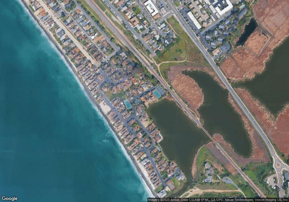
Map
Nearby Homes
- 2186 S Coast Hwy
- 2168 S Coast Hwy
- 79 St Malo Unit 79
- 1931 S Pacific St
- 1903 S Myers St Unit 4
- 1905 S Myers St Unit 1
- 1909 S Pacific St
- 270 Normandy LN Plan at Normandy Beach Homes - Normandy Beach homes
- 260 Normandy LN Plan at Normandy Beach Homes - Normandy Beach homes
- 1909 S Freeman St
- 2102 S Nevada St
- 1834-36 S Pacific St
- 2511 State St
- 543 Laguna Dr Unit 3
- 1743 S Tremont St
- 2633 Ocean St
- 1727 S Pacific St
- 2648 State St
- 2646 State St
- 2646 State St Unit D
- 64 Saint Malo Beach
- 62 Saint Malo Beach
- 70 Saint Malo Beach
- 56 Saint Malo Beach
- 54 Saint Malo Beach
- 58 Saint Malo Beach
- 52 Saint Malo Beach
- 60 Saint Malo Beach
- 72 Saint Malo Beach
- 47 Saint Malo Beach
- 21 Saint Malo Beach
- 23 Saint Malo Beach
- 45 Saint Malo Beach
- 25 Saint Malo Beach
- 43 Saint Malo Beach
- 19 Saint Malo Beach
- 49 Saint Malo Beach
- 41 Saint Malo Beach
- 27 Saint Malo Beach
- 39 Saint Malo Beach