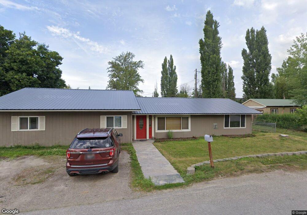
66 Tahoe Dr Kalispell, MT 59901
Estimated Value: $563,520 - $709,000
3
Beds
2
Baths
1,830
Sq Ft
$346/Sq Ft
Est. Value
About This Home
This home is located at 66 Tahoe Dr, Kalispell, MT 59901 and is currently estimated at $632,630, approximately $345 per square foot. 66 Tahoe Dr is a home located in Flathead County with nearby schools including Cornelius Hedges School, Flathead High School, and Woodland Montessori School.
Ownership History
Date
Name
Owned For
Owner Type
Purchase Details
Closed on
Nov 19, 2018
Sold by
Sgrenci Peter and Sgrenci Tanya M
Bought by
Dyck Jessi Rae and Cole Dyck Benjamin Tyler
Current Estimated Value
Home Financials for this Owner
Home Financials are based on the most recent Mortgage that was taken out on this home.
Original Mortgage
$267,750
Outstanding Balance
$235,451
Interest Rate
4.9%
Mortgage Type
New Conventional
Estimated Equity
$397,179
Purchase Details
Closed on
May 8, 2006
Sold by
Wachovia Bank Na
Bought by
Sgrenci Peter and Sgrenci Tanya M
Home Financials for this Owner
Home Financials are based on the most recent Mortgage that was taken out on this home.
Original Mortgage
$123,920
Interest Rate
6.46%
Mortgage Type
New Conventional
Create a Home Valuation Report for This Property
The Home Valuation Report is an in-depth analysis detailing your home's value as well as a comparison with similar homes in the area
Home Values in the Area
Average Home Value in this Area
Purchase History
| Date | Buyer | Sale Price | Title Company |
|---|---|---|---|
| Dyck Jessi Rae | -- | Fidelity National Title | |
| Sgrenci Peter | -- | Chicago Title Insurance Co |
Source: Public Records
Mortgage History
| Date | Status | Borrower | Loan Amount |
|---|---|---|---|
| Open | Dyck Jessi Rae | $267,750 | |
| Previous Owner | Sgrenci Peter | $123,920 |
Source: Public Records
Tax History Compared to Growth
Tax History
| Year | Tax Paid | Tax Assessment Tax Assessment Total Assessment is a certain percentage of the fair market value that is determined by local assessors to be the total taxable value of land and additions on the property. | Land | Improvement |
|---|---|---|---|---|
| 2025 | $2,758 | $642,000 | $0 | $0 |
| 2024 | $3,050 | $464,200 | $0 | $0 |
| 2023 | $3,076 | $464,200 | $0 | $0 |
| 2022 | $3,009 | $348,000 | $0 | $0 |
| 2021 | $3,072 | $348,000 | $0 | $0 |
| 2020 | $2,781 | $305,200 | $0 | $0 |
| 2019 | $2,385 | $261,100 | $0 | $0 |
| 2018 | $2,098 | $219,400 | $0 | $0 |
| 2017 | $2,107 | $219,400 | $0 | $0 |
| 2016 | $1,629 | $186,300 | $0 | $0 |
| 2015 | $1,652 | $186,300 | $0 | $0 |
| 2014 | $1,669 | $113,314 | $0 | $0 |
Source: Public Records
Map
Nearby Homes
- 348 College Ave Unit 8
- 100 Woodlands Way Unit S401
- 100 Woodlands Way Unit P-408
- 100 Woodlands Way Unit B-404
- 100 Woodlands Way Unit P-307
- 100 Woodlands Way Unit S305
- 100 Woodlands Way Unit P-406
- 100 Woodlands Way Unit S405
- 100 Woodlands Way Unit B212
- 100 Woodlands Way Unit S-404
- 265 Caroline Rd
- 270 Caroline Rd
- 712 Conrad Dr
- 1100 E Oregon St Unit 13
- 847 E Washington St
- 504 6th Ave E
- 278 7th Ave W
- 835 7th Ave E
- 145 3rd Ave E
- 51 Selders Ln