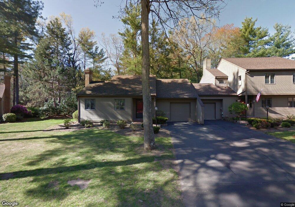
66 the Laurels Enfield, CT 06082
Estimated Value: $364,943 - $423,000
About This Home
This home is located at 66 the Laurels, Enfield, CT 06082 and is currently estimated at $386,486, approximately $291 per square foot. 66 the Laurels is a home located in Hartford County with nearby schools including Prudence Crandall Elementary School, Nathan Hale Elementary School, and Enfield High School.
Ownership History
We collect this data history from publicly available records. To have your information removed, we recommend requesting removal directly through your county’s website.
Purchase Details
Purchase Details
Home Values in the Area
Average Home Value in this Area
Purchase History
We collect this data history from publicly available records. To have your information removed, we recommend requesting removal directly through your county’s website.
| Date | Buyer | Sale Price | Title Company |
|---|---|---|---|
| $198,700 | -- | ||
| $150,000 | -- |
Mortgage History
We collect this data history from publicly available records. To have your information removed, we recommend requesting removal directly through your county’s website.
| Date | Status | Borrower | Loan Amount |
|---|---|---|---|
| Closed | $158,950 |
Tax History
We collect this data history from publicly available records. To have your information removed, we recommend requesting removal directly through your county’s website.
| Year | Tax Paid | Tax Assessment Tax Assessment Total Assessment is a certain percentage of the fair market value that is determined by local assessors to be the total taxable value of land and additions on the property. | Land | Improvement |
|---|---|---|---|---|
| 2025 | $5,794 | $163,200 | $0 | $163,200 |
| 2024 | $5,640 | $163,200 | $0 | $163,200 |
| 2023 | $5,608 | $163,200 | $0 | $163,200 |
| 2022 | $5,164 | $163,200 | $0 | $163,200 |
| 2021 | $5,473 | $141,670 | $0 | $141,670 |
| 2020 | $5,416 | $141,670 | $0 | $141,670 |
| 2019 | $5,274 | $141,670 | $0 | $141,670 |
| 2018 | $5,157 | $141,670 | $0 | $141,670 |
| 2017 | $4,878 | $141,670 | $0 | $141,670 |
| 2016 | $4,517 | $136,220 | $0 | $136,220 |
| 2015 | $4,385 | $136,220 | $0 | $136,220 |
| 2014 | $4,281 | $136,220 | $0 | $136,220 |
Map
- 35 Brook Rd
- 171 the Laurels
- 50 Brook Rd
- 222 Candlewood Dr
- 51 Oakwood St
- 11 Hemlock Dr
- 42 Wheeler Dr
- 304 Brainard Rd Unit 29
- 3 Birchwood Terrace
- 302 Ashmead Commons Unit 302
- 45 Liberty Ln
- 86 Cottage Rd
- 176 Cottage Rd
- 15 Pine Hill Rd
- 31 W Shore Dr
- 114 Cottage Rd
- 39 Liberty Ln
- 54 Liberty Ln
- 60 Liberty Ln
- 42 Liberty Ln
- 66 the Laurels Unit 66
- 68 the Laurels
- 68 the Laurels Unit 68
- 72 the Laurels
- 74 the Laurels
- 74 the Laurels Unit 74
- 8 the Laurels
- 58 the Laurels
- 76 the Laurels
- 76 the Laurels Unit 76,21
- 78 the Laurels
- 78 the Laurels Unit 78
- 80 the Laurels
- 80 the Laurels Unit 80
- 82 the Laurels
- 82 the Laurels Unit 82
- 84 the Laurels Unit 184
- 84 the Laurels
- 84 the Laurels Unit 84
- 86 the Laurels
Ask me questions while you tour the home.