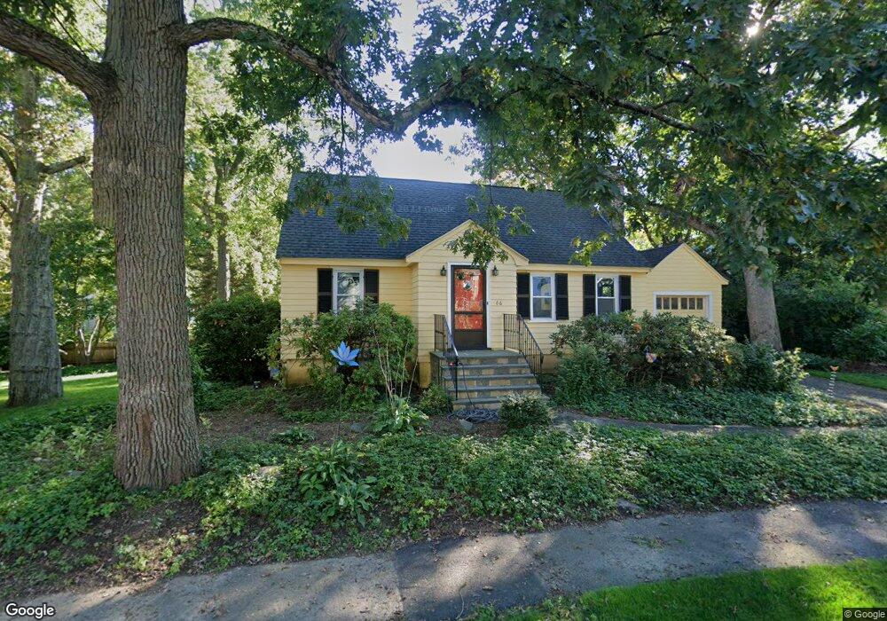
66 Upland Rd Needham, MA 02492
Estimated Value: $1,306,929 - $1,498,000
4
Beds
2
Baths
907
Sq Ft
$1,540/Sq Ft
Est. Value
About This Home
This home is located at 66 Upland Rd, Needham, MA 02492 and is currently estimated at $1,396,982, approximately $1,540 per square foot. 66 Upland Rd is a home located in Norfolk County with nearby schools including Mitchell Elementary School, High Rock Middle School, and Pollard Middle School.
Create a Home Valuation Report for This Property
The Home Valuation Report is an in-depth analysis detailing your home's value as well as a comparison with similar homes in the area
Home Values in the Area
Average Home Value in this Area
Tax History
| Year | Tax Paid | Tax Assessment Tax Assessment Total Assessment is a certain percentage of the fair market value that is determined by local assessors to be the total taxable value of land and additions on the property. | Land | Improvement |
|---|---|---|---|---|
| 2025 | $10,293 | $971,000 | $771,400 | $199,600 |
| 2024 | $9,823 | $784,600 | $560,200 | $224,400 |
| 2023 | $9,977 | $765,100 | $560,200 | $204,900 |
| 2022 | $9,593 | $717,500 | $518,700 | $198,800 |
| 2021 | $9,349 | $717,500 | $518,700 | $198,800 |
| 2020 | $8,983 | $719,200 | $519,700 | $199,500 |
| 2019 | $8,296 | $669,600 | $472,400 | $197,200 |
| 2018 | $7,955 | $669,600 | $472,400 | $197,200 |
| 2017 | $7,667 | $644,800 | $472,400 | $172,400 |
| 2016 | $7,441 | $644,800 | $472,400 | $172,400 |
| 2015 | $7,280 | $644,800 | $472,400 | $172,400 |
| 2014 | $6,738 | $578,900 | $410,800 | $168,100 |
Source: Public Records
Map
Nearby Homes
- 638 Webster St
- 638 Webster St Unit 638
- 190 Brookline St
- 510 Webster St
- 36 Otis St Unit 36
- 17 Lindbergh Ave
- 19 Oakland Ave Unit 19
- 19 Highland Ct Unit 19
- 58 Morton St
- 7 West St
- 40 High St
- 68 Brookline St
- 176 Highgate St
- 447 Hillside Ave
- 193 Garden St
- 100 Rosemary Way Unit 129
- 100 Bradford St
- 385 Hillside Ave
- 385 Hillside Ave Unit 385
- 28 Mercer Rd
Your Personal Tour Guide
Ask me questions while you tour the home.