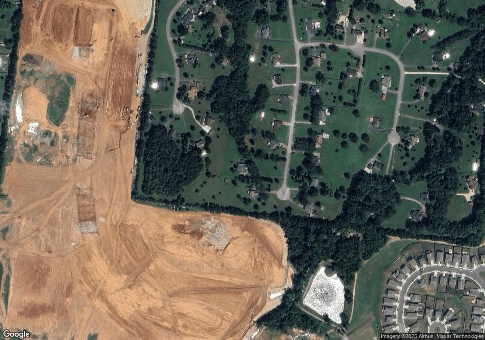
660 Charles Ln Spring Hill, TN 37174
Estimated Value: $653,503
--
Bed
3
Baths
2,296
Sq Ft
$285/Sq Ft
Est. Value
About This Home
This home is located at 660 Charles Ln, Spring Hill, TN 37174 and is currently priced at $653,503, approximately $284 per square foot. 660 Charles Ln is a home located in Maury County with nearby schools including Spring Hill Elementary School, Spring Hill Middle School, and Spring Hill High School.
Ownership History
Date
Name
Owned For
Owner Type
Purchase Details
Closed on
Aug 19, 2005
Sold by
Hawkins Matthew H and Hawkins Jesse R
Bought by
Sloan James R and Sloan Marilyn A
Current Estimated Value
Home Financials for this Owner
Home Financials are based on the most recent Mortgage that was taken out on this home.
Original Mortgage
$135,000
Outstanding Balance
$70,689
Interest Rate
5.61%
Mortgage Type
Fannie Mae Freddie Mac
Purchase Details
Closed on
Aug 8, 2001
Sold by
Devarona Sharon
Bought by
Hawkins Mathew Howard and Hawkins Jesse Ruth
Home Financials for this Owner
Home Financials are based on the most recent Mortgage that was taken out on this home.
Original Mortgage
$15,300
Interest Rate
7.1%
Purchase Details
Closed on
Feb 27, 1998
Sold by
Clayborne Patricia Taylor and Thompson Julie Ann Taylor
Bought by
Devarona Sharon
Purchase Details
Closed on
Dec 3, 1991
Bought by
Taylor Charles W
Create a Home Valuation Report for This Property
The Home Valuation Report is an in-depth analysis detailing your home's value as well as a comparison with similar homes in the area
Home Values in the Area
Average Home Value in this Area
Purchase History
| Date | Buyer | Sale Price | Title Company |
|---|---|---|---|
| Sloan James R | $220,000 | Marshall Title & Escrow | |
| Hawkins Mathew Howard | $16,500 | Rudy Title & Escrow | |
| Devarona Sharon | $15,000 | -- | |
| Taylor Charles W | -- | -- |
Source: Public Records
Mortgage History
| Date | Status | Borrower | Loan Amount |
|---|---|---|---|
| Open | Sloan James R | $135,000 | |
| Previous Owner | Taylor Charles W | $166,500 | |
| Previous Owner | Hawkins Mathew Howard | $15,300 |
Source: Public Records
Tax History Compared to Growth
Tax History
| Year | Tax Paid | Tax Assessment Tax Assessment Total Assessment is a certain percentage of the fair market value that is determined by local assessors to be the total taxable value of land and additions on the property. | Land | Improvement |
|---|---|---|---|---|
| 2022 | $2,768 | $104,500 | $15,000 | $89,500 |
Source: Public Records
Map
Nearby Homes
- 333 Harvest Point Blvd
- 331 Harvest Point Blvd
- 341 Harvest Point Blvd
- 329 Harvest Point Blvd
- 327 Harvest Point Blvd
- 339 Harvest Point Blvd
- 325 Harvest Point Blvd
- 323 Harvest Point Blvd
- 418 Wild Iris Way
- 420 Wild Iris Way
- 422 Wild Iris Way
- 424 Wild Iris Way
- 426 Wild Iris Way
- 408 Wild Iris Way
- 406 Wild Iris Way
- 414 Wild Iris Way
- 416 Wild Iris Way
- 410 Wild Iris Way
- 412 Wild Iris Way
- Bristol MF Plan at Harvest Point
- 664 Charles Ln
- 656 Charles Ln
- 1045 Patriot Dr
- 1041 Patriot Dr
- 652 Charles Ln
- 1042 Patriot Dr
- 663 Charles Ln
- 648 Charles Ln
- 657 Charles Ln
- 667 Charles Ln
- 1037 Patriot Dr
- 653 Charles Ln
- 644 Charles Ln
- 1038 Patriot Dr
- 649 Charles Ln
- 643 Charles Ln
- 640 Charles Ln
- 1033 Patriot Dr
- 1034 Patriot Dr
- 100 Carr Dr
