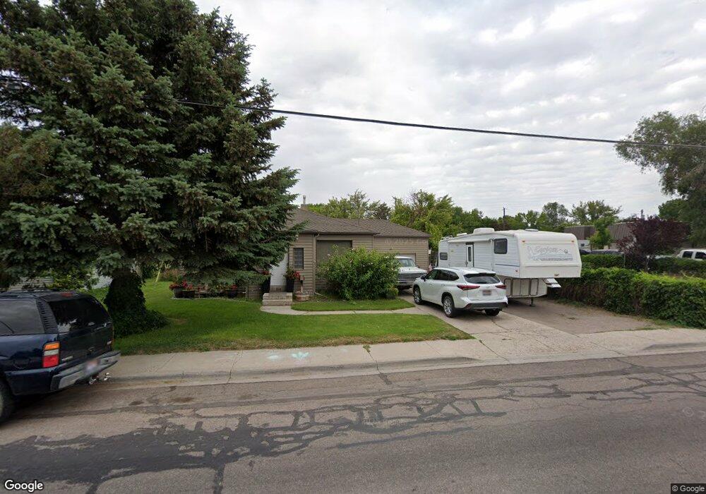
660 E Cedar St Pocatello, ID 83201
Downtown Pocatello NeighborhoodEstimated Value: $268,000 - $304,194
4
Beds
2
Baths
1,843
Sq Ft
$153/Sq Ft
Est. Value
About This Home
This home is located at 660 E Cedar St, Pocatello, ID 83201 and is currently estimated at $281,065, approximately $152 per square foot. 660 E Cedar St is a home located in Bannock County with nearby schools including Lewis & Clark Elementary School, Kinport Academy, and Century High School.
Ownership History
Date
Name
Owned For
Owner Type
Purchase Details
Closed on
Aug 23, 2021
Sold by
Stephensok Monica Colleen and Stephensok Colleen Stephenson
Bought by
Stephensok Monica Colleen and Hollenbeck Ryan Robert
Current Estimated Value
Home Financials for this Owner
Home Financials are based on the most recent Mortgage that was taken out on this home.
Original Mortgage
$160,000
Outstanding Balance
$144,952
Interest Rate
2.8%
Mortgage Type
New Conventional
Estimated Equity
$136,113
Purchase Details
Closed on
Apr 28, 2008
Sold by
Rammell Sean J and Rammell Nichole C
Bought by
Stephenson M Colleen
Home Financials for this Owner
Home Financials are based on the most recent Mortgage that was taken out on this home.
Original Mortgage
$3,100
Interest Rate
5.81%
Mortgage Type
Unknown
Create a Home Valuation Report for This Property
The Home Valuation Report is an in-depth analysis detailing your home's value as well as a comparison with similar homes in the area
Home Values in the Area
Average Home Value in this Area
Purchase History
| Date | Buyer | Sale Price | Title Company |
|---|---|---|---|
| Stephensok Monica Colleen | -- | Pioneer Title Pocatello | |
| Stephenson M Colleen | -- | -- |
Source: Public Records
Mortgage History
| Date | Status | Borrower | Loan Amount |
|---|---|---|---|
| Open | Stephensok Monica Colleen | $160,000 | |
| Closed | Stephenson M Colleen | $3,100 | |
| Closed | Stephenson M Colleen | $3,100 |
Source: Public Records
Tax History
| Year | Tax Paid | Tax Assessment Tax Assessment Total Assessment is a certain percentage of the fair market value that is determined by local assessors to be the total taxable value of land and additions on the property. | Land | Improvement |
|---|---|---|---|---|
| 2025 | $1,297 | $242,517 | $55,000 | $187,517 |
| 2024 | $1,364 | $217,236 | $55,000 | $162,236 |
| 2023 | $1,390 | $232,251 | $55,000 | $177,251 |
| 2022 | $1,390 | $176,971 | $30,000 | $146,971 |
| 2021 | $1,518 | $176,971 | $30,000 | $146,971 |
| 2020 | $1,193 | $148,670 | $41,831 | $106,839 |
| 2019 | $1,530 | $156,027 | $41,831 | $114,196 |
| 2018 | $1,413 | $125,477 | $30,313 | $95,164 |
| 2017 | $1,403 | $125,477 | $30,313 | $95,164 |
| 2016 | $1,391 | $125,477 | $30,313 | $95,164 |
| 2015 | $1,187 | $0 | $0 | $0 |
| 2012 | -- | $105,444 | $27,140 | $78,304 |
Source: Public Records
Map
Nearby Homes
- 798 Wayne Ave
- 743 Washington Ave
- 555 E Alameda Rd
- 725 E Pine St
- 825 Linda Ave
- 575 Euclid Ave
- 407 Wyldwood Ln
- 507 Willard Ave
- 711 Franklin Ave Unit A and B
- 934 Taney Ln
- 524 Euclid Ave
- 949 Meadowbrook Ln
- 625 Hyde Ave
- 855 E Walnut St
- 596 Hyde Ave
- 436 Fairmont Ave
- 0 Tbd W Buckskin Rd Unit 23971231
- 1022 Deon Dr
- 335 Willard Ave
- 1000 Taney Ln
Your Personal Tour Guide
Ask me questions while you tour the home.