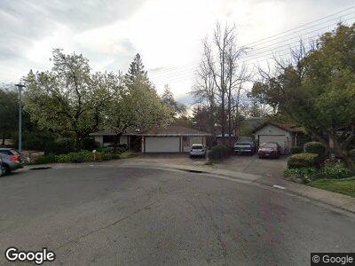
6600 Smoke Tree Ct Citrus Heights, CA 95610
Estimated Value: $504,000 - $521,064
3
Beds
2
Baths
1,708
Sq Ft
$301/Sq Ft
Est. Value
About This Home
This home is located at 6600 Smoke Tree Ct, Citrus Heights, CA 95610 and is currently estimated at $513,766, approximately $300 per square foot. 6600 Smoke Tree Ct is a home located in Sacramento County with nearby schools including Kingswood K-8, San Juan High School, and Faith Christian Academy.
Ownership History
Date
Name
Owned For
Owner Type
Purchase Details
Closed on
Aug 25, 2007
Sold by
Marshall Glenn N and Marshall Christine R
Bought by
Marshall Glenn N and Marshall Christine R
Current Estimated Value
Purchase Details
Closed on
Oct 25, 1993
Sold by
Marshall Glenn N and Marshall Christine R
Bought by
Marshall Glenn N and Marshall Christine R
Home Financials for this Owner
Home Financials are based on the most recent Mortgage that was taken out on this home.
Original Mortgage
$65,000
Interest Rate
6.95%
Create a Home Valuation Report for This Property
The Home Valuation Report is an in-depth analysis detailing your home's value as well as a comparison with similar homes in the area
Home Values in the Area
Average Home Value in this Area
Purchase History
| Date | Buyer | Sale Price | Title Company |
|---|---|---|---|
| Marshall Glenn N | -- | None Available | |
| Marshall Glenn N | -- | -- |
Source: Public Records
Mortgage History
| Date | Status | Borrower | Loan Amount |
|---|---|---|---|
| Open | Marshall Glenn N | $100,000 | |
| Closed | Marshall Glenn N | $65,000 |
Source: Public Records
Tax History Compared to Growth
Tax History
| Year | Tax Paid | Tax Assessment Tax Assessment Total Assessment is a certain percentage of the fair market value that is determined by local assessors to be the total taxable value of land and additions on the property. | Land | Improvement |
|---|---|---|---|---|
| 2024 | $2,127 | $181,925 | $39,943 | $141,982 |
| 2023 | $2,072 | $178,359 | $39,160 | $139,199 |
| 2022 | $2,060 | $174,863 | $38,393 | $136,470 |
| 2021 | $2,024 | $171,436 | $37,641 | $133,795 |
| 2020 | $1,986 | $169,680 | $37,256 | $132,424 |
| 2019 | $1,945 | $166,354 | $36,526 | $129,828 |
| 2018 | $1,917 | $163,093 | $35,810 | $127,283 |
| 2017 | $1,901 | $159,896 | $35,108 | $124,788 |
| 2016 | $1,776 | $156,762 | $34,420 | $122,342 |
| 2015 | $1,744 | $154,408 | $33,903 | $120,505 |
| 2014 | $1,707 | $151,384 | $33,239 | $118,145 |
Source: Public Records
Map
Nearby Homes
- 7921 Arcade Lake Ln Unit 6
- 8032 Arcade Lake Ln
- 7904 Arcade Lake Ln
- 7975 Arcade Lake Ln
- 8019 Arcade Lake Ln
- 6704 Green Ash Ct
- 6732 Wyatt Cir
- 6720 Wyatt Cir
- 6525 Sunrise Blvd Unit 5
- 6525 Sunrise Blvd Unit 73
- 7875 Paseo de Mulch
- 6256 Jennie Alley
- 6384 Bonham Cir
- 6198 Paseo de Mooney
- 6445 Denton Way
- 6928 Trovita Way
- 6177 Florence Alley
- 6527 Mel Ct
- 6182 Barris Ct
- 6546 Skyview Dr
- 6600 Smoke Tree Ct
- 6601 Smoke Tree Ct
- 7964 Arcade Lake Ln
- 7967 Arcade Lake Ln
- 6605 Smoke Tree Ct
- 7960 Arcade Lake Ln Unit 45
- 7980 Arcade Lake Ln Unit 49
- 7978 Arcade Lake Ln Unit 48
- 7958 Arcade Lake Ln
- 7969 Arcade Lake Ln
- 7963 Arcade Lake Ln
- 7956 Arcade Lake Ln
- 7965 Arcade Lake Ln
- 7954 Arcade Lake Ln Unit 42
- 6609 Smoke Tree Ct
- 7950 Arcade Lake Ln
- 7977 Arcade Lake Ln Unit 81
- 7951 Arcade Lake Ln Unit 9
- 7953 Arcade Lake Ln
- 6613 Smoke Tree Ct