6604 State Route 762 Orient, OH 43146
Estimated Value: $375,000 - $534,000
3
Beds
2
Baths
1,800
Sq Ft
$244/Sq Ft
Est. Value
About This Home
This home is located at 6604 State Route 762, Orient, OH 43146 and is currently estimated at $438,394, approximately $243 per square foot. 6604 State Route 762 is a home located in Pickaway County.
Ownership History
Date
Name
Owned For
Owner Type
Purchase Details
Closed on
Jan 26, 1999
Sold by
Hylton Bobby D
Bought by
Hardyman Martin D and Taylor Deborah K
Current Estimated Value
Home Financials for this Owner
Home Financials are based on the most recent Mortgage that was taken out on this home.
Original Mortgage
$152,550
Outstanding Balance
$36,170
Interest Rate
6.76%
Mortgage Type
New Conventional
Estimated Equity
$402,224
Create a Home Valuation Report for This Property
The Home Valuation Report is an in-depth analysis detailing your home's value as well as a comparison with similar homes in the area
Home Values in the Area
Average Home Value in this Area
Purchase History
| Date | Buyer | Sale Price | Title Company |
|---|---|---|---|
| Hardyman Martin D | $169,600 | -- |
Source: Public Records
Mortgage History
| Date | Status | Borrower | Loan Amount |
|---|---|---|---|
| Open | Hardyman Martin D | $152,550 |
Source: Public Records
Tax History Compared to Growth
Tax History
| Year | Tax Paid | Tax Assessment Tax Assessment Total Assessment is a certain percentage of the fair market value that is determined by local assessors to be the total taxable value of land and additions on the property. | Land | Improvement |
|---|---|---|---|---|
| 2024 | -- | $123,080 | $36,730 | $86,350 |
| 2023 | $4,752 | $123,080 | $36,730 | $86,350 |
| 2022 | $3,724 | $88,660 | $24,510 | $64,150 |
| 2021 | $3,735 | $88,660 | $24,510 | $64,150 |
| 2020 | $3,736 | $88,660 | $24,510 | $64,150 |
| 2019 | $3,262 | $75,230 | $23,540 | $51,690 |
| 2018 | $3,014 | $75,230 | $23,540 | $51,690 |
| 2017 | $3,953 | $75,230 | $23,540 | $51,690 |
| 2016 | $2,773 | $67,280 | $21,110 | $46,170 |
| 2015 | $2,775 | $67,280 | $21,110 | $46,170 |
| 2014 | $2,778 | $67,280 | $21,110 | $46,170 |
| 2013 | $3,032 | $70,600 | $21,110 | $49,490 |
Source: Public Records
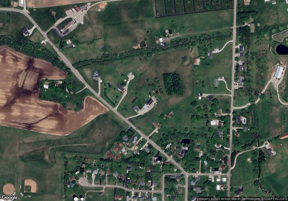
Map
Nearby Homes
- 49 Front St
- 56 Chambers Bay Rd
- 294 Shady Hollow Dr
- 47 Front St
- 55 Genoa Cir
- 62 Genoa Cir
- 66 Genoa Cir
- 45 Genoa Cir
- 310 Genoa Rd
- The Siebert Plan at Genoa Crossing
- The Hollandia B Plan at Genoa Crossing
- The Rainier Plan at Genoa Crossing
- The Petoskey Plan at Genoa Crossing
- 428 Lockbay Rd
- 10901 Borror Rd Unit 19
- 317 Adrien Ct
- 201 Victorian Dr
- 486 Creekside Dr
- 229 Victorian Dr
- 500 Walker Pointe Dr
- 436 Bethpage Blvd
- 6568 State Route 762
- 6630 State Route 762
- 7071 State Route 762
- 0 State Route 762
- 6587 State Route 762
- 117 Main St
- 44 Main St
- 6571 State Route 762
- 47 Main St
- 43 Main St
- 42 Main St
- 11135 Borror Rd
- 6656 State Route 762
- 0 Genoa Rd Unit 2614120
- 0 Genoa Rd Unit 2614128
- 0 Genoa Rd Unit 2614122
- 0 Genoa Rd Unit Lot 91 219041322
- 0 Genoa Rd Unit Lot 59
- 46 Parkview Cir