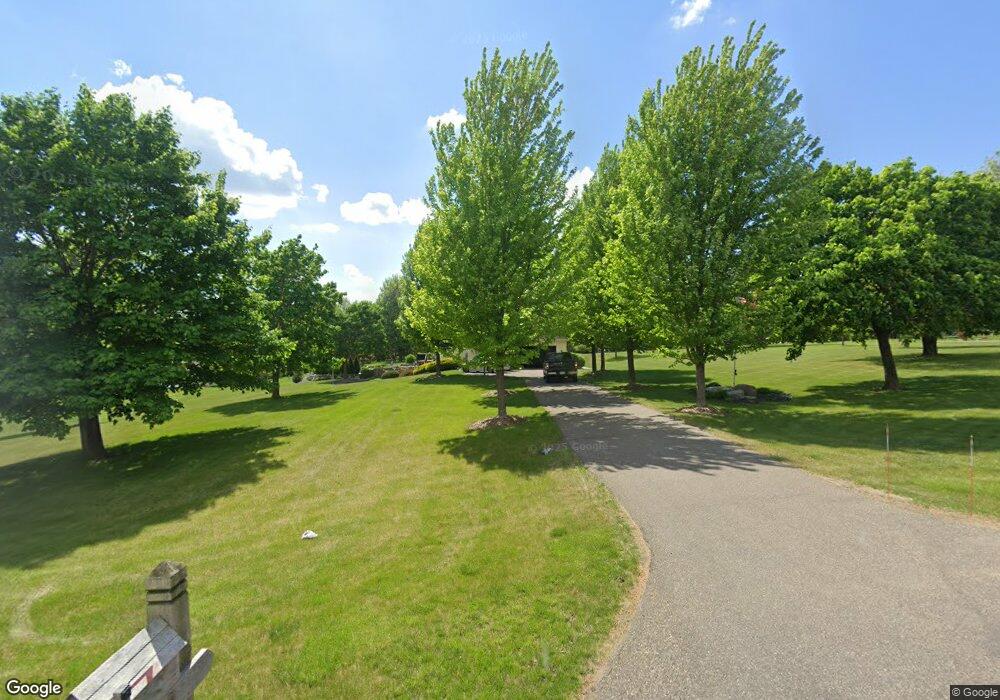
6605 71st Ln N Loretto, MN 55357
Estimated Value: $665,000 - $876,000
4
Beds
4
Baths
3,793
Sq Ft
$210/Sq Ft
Est. Value
About This Home
This home is located at 6605 71st Ln N, Loretto, MN 55357 and is currently estimated at $797,565, approximately $210 per square foot. 6605 71st Ln N is a home located in Hennepin County with nearby schools including Rockford Elementary Arts Magnet School, Rockford Middle School - Center for Environmental Studies, and Rockford High School.
Ownership History
Date
Name
Owned For
Owner Type
Purchase Details
Closed on
Jul 19, 2013
Sold by
Bottema Jonathan J and Bottema Angela K
Bought by
Michlitsch Michael R and Michlitsch Tara L
Current Estimated Value
Home Financials for this Owner
Home Financials are based on the most recent Mortgage that was taken out on this home.
Original Mortgage
$399,000
Outstanding Balance
$291,355
Interest Rate
4.02%
Mortgage Type
New Conventional
Estimated Equity
$506,210
Purchase Details
Closed on
Sep 15, 2010
Sold by
Wallerich Paul T
Bought by
Bottema Jonathan
Purchase Details
Closed on
Apr 6, 2000
Sold by
Sipe Douglas W
Bought by
Wallerich Paul T
Create a Home Valuation Report for This Property
The Home Valuation Report is an in-depth analysis detailing your home's value as well as a comparison with similar homes in the area
Home Values in the Area
Average Home Value in this Area
Purchase History
| Date | Buyer | Sale Price | Title Company |
|---|---|---|---|
| Michlitsch Michael R | $420,000 | North American Title Company | |
| Bottema Jonathan | $377,500 | -- | |
| Wallerich Paul T | $70,000 | -- |
Source: Public Records
Mortgage History
| Date | Status | Borrower | Loan Amount |
|---|---|---|---|
| Open | Michlitsch Michael R | $399,000 |
Source: Public Records
Tax History
| Year | Tax Paid | Tax Assessment Tax Assessment Total Assessment is a certain percentage of the fair market value that is determined by local assessors to be the total taxable value of land and additions on the property. | Land | Improvement |
|---|---|---|---|---|
| 2024 | $7,698 | $637,200 | $180,000 | $457,200 |
| 2023 | $7,998 | $658,000 | $192,000 | $466,000 |
| 2022 | $6,751 | $629,000 | $192,000 | $437,000 |
| 2021 | $6,531 | $501,000 | $120,000 | $381,000 |
| 2020 | $6,882 | $474,000 | $102,000 | $372,000 |
| 2019 | $6,694 | $468,000 | $108,000 | $360,000 |
| 2018 | $6,231 | $447,000 | $102,000 | $345,000 |
| 2017 | $5,749 | $398,000 | $96,000 | $302,000 |
| 2016 | $5,633 | $380,000 | $96,000 | $284,000 |
| 2015 | $5,303 | $352,000 | $84,000 | $268,000 |
| 2014 | -- | $318,000 | $88,000 | $230,000 |
Source: Public Records
Map
Nearby Homes
- 6460 Elmwood Dr
- TBD Nyle Ct
- 6235 N Shore Dr
- 5470 Town Hall Dr
- 7801 Bridgewater Ct
- 7803 Bridgewater Ct
- 7806 Bridgewater Ct
- TBD 69th Ln N
- 6900 Nyle Ct
- 7804 Bridgewater Ct
- 7865 Kettering Creek Ct
- 7870 Willowbrook Ct
- 7872 Willowbrook Ct
- 4757 S Lake Sarah Dr
- 7050 Pioneer Trail
- 5230 Rebecca Park Trail
- 5955 84th Ln N
- The Madison Plan at Kettering Creek - Kettering Creek Villas
- The Windsor Villa Plan at Kettering Creek - Kettering Creek Villas
- The Windsor Plan at Kettering Creek - Kettering Creek Villas
