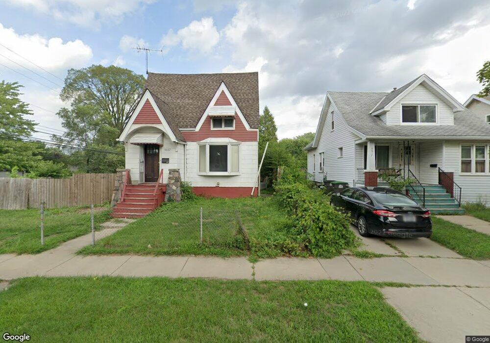
6607 Westpoint St Unit Bldg-Unit Taylor, MI 48180
Estimated Value: $182,000 - $222,000
4
Beds
1
Bath
1,552
Sq Ft
$131/Sq Ft
Est. Value
About This Home
This home is located at 6607 Westpoint St Unit Bldg-Unit, Taylor, MI 48180 and is currently estimated at $203,175, approximately $130 per square foot. 6607 Westpoint St Unit Bldg-Unit is a home located in Wayne County with nearby schools including Clarence Randall Elementary School, Hoover Middle School, and Quest Charter Academy.
Ownership History
Date
Name
Owned For
Owner Type
Purchase Details
Closed on
Oct 17, 2019
Sold by
Mex Realty Llc
Bought by
Craig Carol and Mcgough David
Current Estimated Value
Home Financials for this Owner
Home Financials are based on the most recent Mortgage that was taken out on this home.
Original Mortgage
$139,397
Outstanding Balance
$123,925
Interest Rate
4.25%
Mortgage Type
FHA
Estimated Equity
$79,250
Purchase Details
Closed on
Aug 13, 2018
Sold by
Ayala Luz Jannet
Bought by
Mex Realty Llc
Purchase Details
Closed on
Apr 4, 2018
Sold by
Wells Fargo Bank Na
Bought by
Ayala Luz Jannet
Purchase Details
Closed on
Feb 18, 2016
Sold by
Bucciarelli Rachelle M
Bought by
Wells Fargo Bank Na
Create a Home Valuation Report for This Property
The Home Valuation Report is an in-depth analysis detailing your home's value as well as a comparison with similar homes in the area
Home Values in the Area
Average Home Value in this Area
Purchase History
| Date | Buyer | Sale Price | Title Company |
|---|---|---|---|
| Craig Carol | $152,000 | Michigan Title Ins Agcy Inc | |
| Mex Realty Llc | -- | None Available | |
| Ayala Luz Jannet | $56,200 | None Available | |
| Wells Fargo Bank Na | $133,327 | Attorney |
Source: Public Records
Mortgage History
| Date | Status | Borrower | Loan Amount |
|---|---|---|---|
| Open | Craig Carol | $139,397 |
Source: Public Records
Tax History Compared to Growth
Tax History
| Year | Tax Paid | Tax Assessment Tax Assessment Total Assessment is a certain percentage of the fair market value that is determined by local assessors to be the total taxable value of land and additions on the property. | Land | Improvement |
|---|---|---|---|---|
| 2025 | $2,695 | $89,600 | $0 | $0 |
| 2024 | $2,695 | $80,500 | $0 | $0 |
| 2023 | $2,572 | $76,500 | $0 | $0 |
| 2022 | $2,572 | $74,000 | $0 | $0 |
| 2021 | $2,827 | $60,000 | $0 | $0 |
| 2020 | $2,798 | $53,800 | $0 | $0 |
| 2019 | $375,408 | $50,100 | $0 | $0 |
| 2018 | $2,379 | $47,400 | $0 | $0 |
| 2017 | $1,713 | $42,400 | $0 | $0 |
| 2016 | $4,036 | $41,200 | $0 | $0 |
| 2015 | $3,760 | $37,600 | $0 | $0 |
| 2013 | $3,760 | $39,300 | $0 | $0 |
| 2012 | $1,621 | $38,500 | $6,600 | $31,900 |
Source: Public Records
Map
Nearby Homes
- 6607 Westpoint St
- 6617 Westpoint St
- 6625 W Point St
- 6567 Westpoint St
- 6606 Cornell St
- 6633 Westpoint St
- 6624 Cornell St
- 6561 Westpoint St
- 6608 Westpoint St
- 6608 Westpoint St Unit 2
- 6608 Westpoint St Unit 1
- 6641 Westpoint St
- 6616 Westpoint St
- 6553 Westpoint St
- 6624 Westpoint St
- 6640 Cornell St
- 6647 Westpoint St
- 6568 Westpoint St
- 6632 Westpoint St
- 6545 Westpoint St