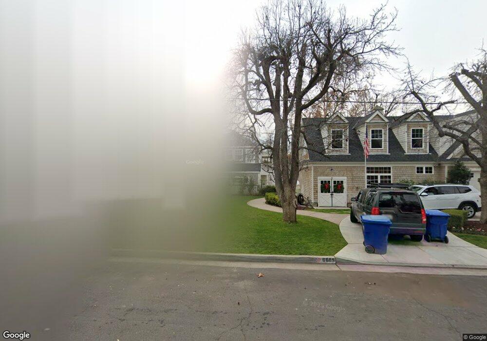
6609 Mount Shasta Dr Bakersfield, CA 93309
Stockdale Estates NeighborhoodEstimated Value: $823,000 - $1,066,000
4
Beds
4
Baths
2,774
Sq Ft
$344/Sq Ft
Est. Value
About This Home
This home is located at 6609 Mount Shasta Dr, Bakersfield, CA 93309 and is currently estimated at $954,590, approximately $344 per square foot. 6609 Mount Shasta Dr is a home located in Kern County with nearby schools including Stockdale Elementary School, O.J. Actis Junior High School, and Bakersfield High School.
Ownership History
Date
Name
Owned For
Owner Type
Purchase Details
Closed on
Sep 24, 2013
Sold by
Soper Michael T and Soper Marcelline M
Bought by
Soper Michael T and Soper Marcelline M
Current Estimated Value
Purchase Details
Closed on
Feb 18, 1999
Sold by
Owens Family Tr and Charles E
Bought by
Soper Michael T and Soper Marcelline M
Home Financials for this Owner
Home Financials are based on the most recent Mortgage that was taken out on this home.
Original Mortgage
$261,600
Outstanding Balance
$62,610
Interest Rate
6.87%
Estimated Equity
$891,980
Purchase Details
Closed on
May 27, 1994
Sold by
Owens Charles E and Owens Catherine B
Bought by
Owens Charles E and Owens Catherine B
Create a Home Valuation Report for This Property
The Home Valuation Report is an in-depth analysis detailing your home's value as well as a comparison with similar homes in the area
Home Values in the Area
Average Home Value in this Area
Purchase History
| Date | Buyer | Sale Price | Title Company |
|---|---|---|---|
| Soper Michael T | -- | None Available | |
| Soper Michael T | $327,000 | Stewart Title | |
| Owens Charles E | -- | -- |
Source: Public Records
Mortgage History
| Date | Status | Borrower | Loan Amount |
|---|---|---|---|
| Open | Soper Michael T | $261,600 |
Source: Public Records
Tax History Compared to Growth
Tax History
| Year | Tax Paid | Tax Assessment Tax Assessment Total Assessment is a certain percentage of the fair market value that is determined by local assessors to be the total taxable value of land and additions on the property. | Land | Improvement |
|---|---|---|---|---|
| 2025 | $9,064 | $723,573 | $268,959 | $454,614 |
| 2024 | $8,945 | $709,388 | $263,686 | $445,702 |
| 2023 | $8,945 | $695,482 | $258,516 | $436,966 |
| 2022 | $8,578 | $681,848 | $253,448 | $428,400 |
| 2021 | $8,417 | $668,481 | $248,479 | $420,002 |
| 2020 | $8,313 | $661,630 | $245,932 | $415,698 |
| 2019 | $8,210 | $661,630 | $245,932 | $415,698 |
| 2018 | $7,791 | $635,943 | $236,383 | $399,560 |
| 2017 | $7,674 | $623,477 | $231,749 | $391,728 |
| 2016 | $7,114 | $611,253 | $227,205 | $384,048 |
| 2015 | $7,075 | $602,074 | $223,793 | $378,281 |
| 2014 | $6,912 | $590,283 | $219,410 | $370,873 |
Source: Public Records
Map
Nearby Homes
- 841 Fairway Dr
- 6702 Edmund Way
- 300 Vista Verde Way
- 416 River Oaks Dr
- 1191 Edmund St
- 604 River Oaks Dr
- 704 River Oaks Dr
- 1110 Fairway Dr
- 712 River Oaks Dr
- 7012 Mesa Verde Way
- 7108 Saint Andrews Dr
- 1033 Tam o Shanter Dr
- 100 Stockdale Cir
- 419 Starmount Ln
- 7235 Meadowbrook Ln
- 6405 Desert Hills Ave
- 6201 Burke Way
- 6216 Bel Aire Way
- 6309 Sundale Ave
- 1208 Club View Dr
- 400 Mount Lowe Dr
- 404 Mount Lowe Dr
- 405 Fairway Dr
- 401 Fairway Dr
- 314 Mount Lowe Dr
- 407 Fairway Dr
- 410 Mount Lowe Dr
- 411 Fairway Dr
- 537 Fairway Dr
- 310 Mount Lowe Dr
- 414 Mount Lowe Dr
- 715 Fairway Dr
- 402 Fairway Dr
- 333 Fairway Dr
- 408 Fairway Dr
- 514 Fairway Dr
- 6515 Mount Shasta Dr
- 306 Mount Lowe Dr
- 513 Fairway Dr
- 410 Fairway Dr