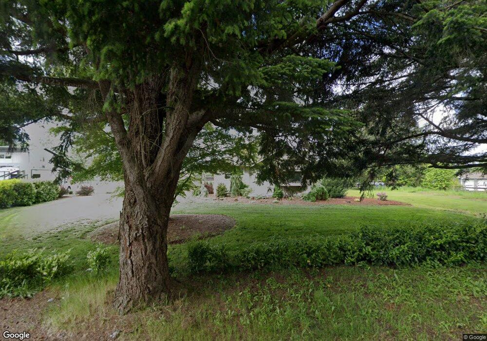
6609 Noon Rd Everson, WA 98247
Estimated Value: $820,000 - $942,300
3
Beds
2
Baths
2,896
Sq Ft
$301/Sq Ft
Est. Value
About This Home
This home is located at 6609 Noon Rd, Everson, WA 98247 and is currently estimated at $871,325, approximately $300 per square foot. 6609 Noon Rd is a home located in Whatcom County with nearby schools including Lynden High School.
Ownership History
Date
Name
Owned For
Owner Type
Purchase Details
Closed on
Feb 13, 2018
Sold by
Ross Shane D and Ross Harry Charles
Bought by
Ross Corey R and Ross Lisa K
Current Estimated Value
Home Financials for this Owner
Home Financials are based on the most recent Mortgage that was taken out on this home.
Original Mortgage
$424,000
Interest Rate
3.99%
Mortgage Type
New Conventional
Purchase Details
Closed on
Mar 17, 2017
Sold by
Ross Cynthia Lynn
Bought by
Ross Harry Charles
Create a Home Valuation Report for This Property
The Home Valuation Report is an in-depth analysis detailing your home's value as well as a comparison with similar homes in the area
Purchase History
| Date | Buyer | Sale Price | Title Company |
|---|---|---|---|
| Ross Corey R | -- | Whatcom Land Title | |
| Ross Harry Charles | -- | None Available |
Source: Public Records
Mortgage History
| Date | Status | Borrower | Loan Amount |
|---|---|---|---|
| Closed | Ross Corey R | $424,000 |
Source: Public Records
Tax History
| Year | Tax Paid | Tax Assessment Tax Assessment Total Assessment is a certain percentage of the fair market value that is determined by local assessors to be the total taxable value of land and additions on the property. | Land | Improvement |
|---|---|---|---|---|
| 2025 | $6,344 | $798,415 | $295,690 | $502,725 |
| 2024 | $7,421 | $783,226 | $292,763 | $490,463 |
| 2023 | $7,421 | $982,410 | $525,495 | $456,915 |
| 2022 | $6,847 | $901,276 | $482,096 | $419,180 |
| 2021 | $6,192 | $704,113 | $376,633 | $327,480 |
| 2020 | $5,308 | $577,139 | $308,714 | $268,425 |
| 2019 | $5,124 | $508,502 | $272,000 | $236,502 |
| 2018 | $3,918 | $499,903 | $267,400 | $232,503 |
| 2017 | $3,435 | $314,121 | $162,030 | $152,091 |
| 2016 | $3,471 | $295,828 | $152,594 | $143,234 |
| 2015 | $3,134 | $295,828 | $152,594 | $143,234 |
| 2014 | -- | $287,727 | $148,415 | $139,312 |
| 2013 | -- | $261,332 | $134,800 | $126,532 |
Source: Public Records
Map
Nearby Homes
- 1817 Central Rd
- 1822 E Pole Rd
- 1375 Ten Mile Rd
- 1383 Ten Mile Rd
- 6849 Raspberry Dr
- 1302 Night Hawk Way
- 1203 Red Tail Ct
- 1005 Night Hawk Way
- 6917 Red Ridge Dr
- 809 Pine Crest Dr
- 2495 River Rock Dr
- 800 Cedar Dr
- 6778 La Monte Dr
- 6786 La Bello Dr
- 6743 La Bello Dr
- 5539 Noon Rd
- 7343 Hannegan Rd Unit 2
- 616 Strandell St
- 7393 Hannegan Rd
- 6049 Medcalf Rd
Your Personal Tour Guide
Ask me questions while you tour the home.