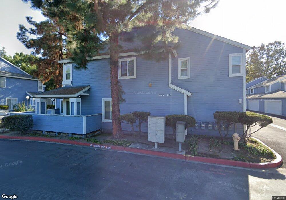
661 Alder Ln Walnut, CA 91789
Estimated Value: $612,000 - $692,000
2
Beds
2
Baths
1,280
Sq Ft
$502/Sq Ft
Est. Value
About This Home
This home is located at 661 Alder Ln, Walnut, CA 91789 and is currently estimated at $643,040, approximately $502 per square foot. 661 Alder Ln is a home located in Los Angeles County with nearby schools including Walnut Elementary School, South Pointe Middle School, and Walnut High School.
Ownership History
Date
Name
Owned For
Owner Type
Purchase Details
Closed on
Nov 3, 2000
Sold by
Tow Donald D
Bought by
Kao Pen Jiun and Kao Hsu Tzuhui
Current Estimated Value
Purchase Details
Closed on
Sep 2, 1993
Sold by
Cheuvront Kerry William
Bought by
Tow Donald D and Siggson Julia J
Home Financials for this Owner
Home Financials are based on the most recent Mortgage that was taken out on this home.
Original Mortgage
$124,939
Interest Rate
7.2%
Mortgage Type
FHA
Create a Home Valuation Report for This Property
The Home Valuation Report is an in-depth analysis detailing your home's value as well as a comparison with similar homes in the area
Home Values in the Area
Average Home Value in this Area
Purchase History
| Date | Buyer | Sale Price | Title Company |
|---|---|---|---|
| Kao Pen Jiun | $155,000 | Lawyers Title Company | |
| Tow Donald D | $125,000 | Gateway Title |
Source: Public Records
Mortgage History
| Date | Status | Borrower | Loan Amount |
|---|---|---|---|
| Previous Owner | Tow Donald D | $124,939 |
Source: Public Records
Tax History
| Year | Tax Paid | Tax Assessment Tax Assessment Total Assessment is a certain percentage of the fair market value that is determined by local assessors to be the total taxable value of land and additions on the property. | Land | Improvement |
|---|---|---|---|---|
| 2025 | $3,198 | $233,534 | $69,302 | $164,232 |
| 2024 | $3,198 | $228,956 | $67,944 | $161,012 |
| 2023 | $3,126 | $224,467 | $66,612 | $157,855 |
| 2022 | $3,059 | $220,066 | $65,306 | $154,760 |
| 2021 | $2,998 | $215,752 | $64,026 | $151,726 |
| 2019 | $2,906 | $209,355 | $62,128 | $147,227 |
| 2018 | $2,798 | $205,251 | $60,910 | $144,341 |
| 2016 | $2,595 | $197,283 | $58,546 | $138,737 |
| 2015 | $2,608 | $194,321 | $57,667 | $136,654 |
| 2014 | $2,614 | $190,516 | $56,538 | $133,978 |
Source: Public Records
Map
Nearby Homes
- 21217 E Washington Unit 32
- 21203 Fibre Ct
- 779 Summerwood Ave
- 21284 Lycoming St
- 1067 Adel Ave
- 21249 Davan St
- 20739 Lycoming St Unit 16
- 21039 Glenwold Dr
- 21002 Cornerstone Dr
- 1131 Loxley Place
- 1301 Glenthorpe Dr
- 20824 Fuero Dr
- 424 S Lemon Ave
- 20755 Kelfield Dr
- 1309 Deeplawn Dr
- 1522 Sunbluff Dr
- 350 Foxboro Dr
- 1136 Belbury Dr
- 22725 Lakeway Dr Unit 396
- 180 Ricci Ave
Your Personal Tour Guide
Ask me questions while you tour the home.