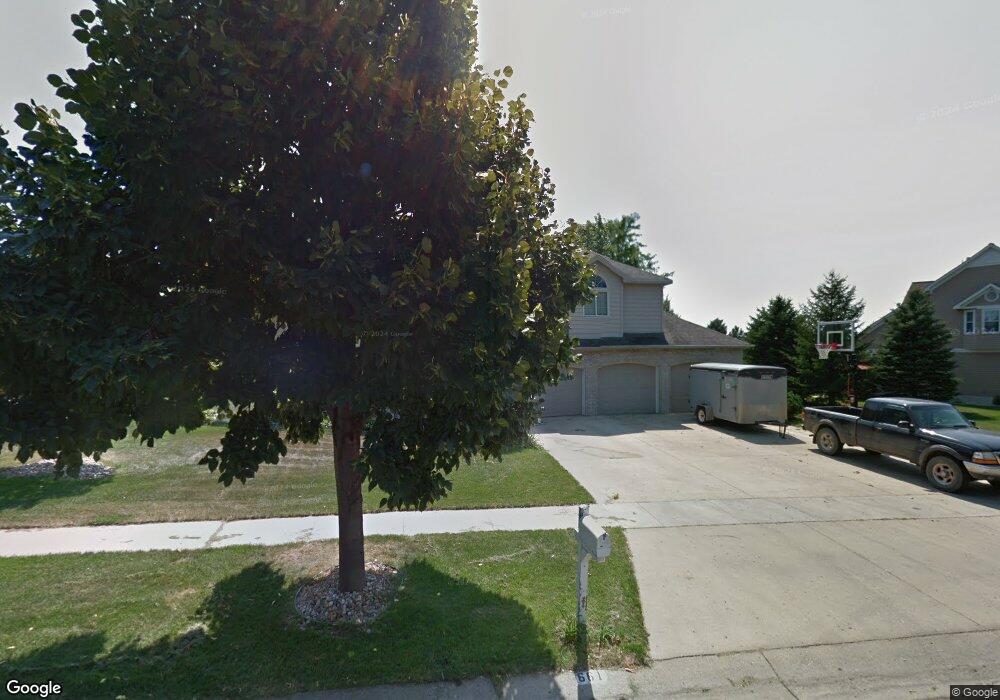
661 Park Ave Brookings, SD 57006
Estimated Value: $263,000 - $596,000
5
Beds
4
Baths
3,897
Sq Ft
$124/Sq Ft
Est. Value
About This Home
This home is located at 661 Park Ave, Brookings, SD 57006 and is currently estimated at $483,021, approximately $123 per square foot. 661 Park Ave is a home located in Brookings County with nearby schools including Brookings High School and St Thomas More Catholic School.
Ownership History
Date
Name
Owned For
Owner Type
Purchase Details
Closed on
Mar 30, 2015
Sold by
Berreth James D and Berreth Kathryn L
Bought by
Berreth Properties Llc
Current Estimated Value
Purchase Details
Closed on
Jun 26, 2014
Sold by
Berreth James D and Berreth Kathryn L
Bought by
Brown Scott M and Brown Kristy M
Home Financials for this Owner
Home Financials are based on the most recent Mortgage that was taken out on this home.
Original Mortgage
$280,250
Outstanding Balance
$212,521
Interest Rate
4.12%
Mortgage Type
Stand Alone First
Estimated Equity
$270,500
Purchase Details
Closed on
Sep 1, 2010
Sold by
Berreth Nicolle M
Bought by
Berreth James David
Create a Home Valuation Report for This Property
The Home Valuation Report is an in-depth analysis detailing your home's value as well as a comparison with similar homes in the area
Home Values in the Area
Average Home Value in this Area
Purchase History
| Date | Buyer | Sale Price | Title Company |
|---|---|---|---|
| Berreth Properties Llc | -- | -- | |
| Brown Scott M | -- | -- | |
| Berreth James David | -- | -- |
Source: Public Records
Mortgage History
| Date | Status | Borrower | Loan Amount |
|---|---|---|---|
| Open | Brown Scott M | $280,250 |
Source: Public Records
Tax History Compared to Growth
Tax History
| Year | Tax Paid | Tax Assessment Tax Assessment Total Assessment is a certain percentage of the fair market value that is determined by local assessors to be the total taxable value of land and additions on the property. | Land | Improvement |
|---|---|---|---|---|
| 2025 | $7,647 | $545,100 | $45,900 | $499,200 |
| 2024 | $7,290 | $505,000 | $45,900 | $459,100 |
| 2023 | $6,657 | $447,100 | $45,900 | $401,200 |
| 2022 | $5,964 | $421,400 | $45,900 | $375,500 |
| 2021 | $5,833 | $399,300 | $45,900 | $353,400 |
| 2020 | $5,883 | $388,700 | $45,900 | $342,800 |
| 2019 | $5,752 | $388,700 | $45,900 | $342,800 |
| 2018 | $5,584 | $388,700 | $45,900 | $342,800 |
| 2017 | $5,698 | $364,800 | $45,900 | $318,900 |
| 2016 | $5,580 | $364,800 | $45,900 | $318,900 |
| 2010 | -- | $345,100 | $0 | $0 |
Source: Public Records
Map
Nearby Homes
- 709 Park Avenue Cir
- 1907 Derdall Dr
- 336 21st Ave S
- 320 19th Ave S
- 1507 Sequoia Ct
- 707 Elm Ave Unit C
- 707 Elm Ave Unit C
- 2127 Elmwood Dr
- 808 Christine Ave Unit 105
- 2024 Morningside Dr
- 2104 Morningside Dr
- 1916 Lincoln Ln
- 1602 17th Ave S
- 1106 12th St S
- 1650 Moriarty Dr
- 2020 Iowa St
- 805 Pheasant Run Rd
- 410 20th Ave
- 1142 15th St S
- 1529 Steamboat Trail