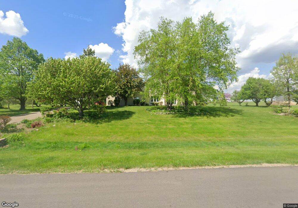
6610 71st Ln Loretto, MN 55357
Estimated Value: $668,000 - $785,000
5
Beds
5
Baths
2,370
Sq Ft
$308/Sq Ft
Est. Value
About This Home
This home is located at 6610 71st Ln, Loretto, MN 55357 and is currently estimated at $730,506, approximately $308 per square foot. 6610 71st Ln is a home located in Hennepin County with nearby schools including Rockford Elementary Arts Magnet School, Rockford Middle School - Center for Environmental Studies, and Rockford High School.
Ownership History
Date
Name
Owned For
Owner Type
Purchase Details
Closed on
Jun 28, 2013
Sold by
Pawluk John M
Bought by
Compton Robert L and Compton Lisa M
Current Estimated Value
Home Financials for this Owner
Home Financials are based on the most recent Mortgage that was taken out on this home.
Original Mortgage
$298,800
Outstanding Balance
$216,442
Interest Rate
3.83%
Mortgage Type
New Conventional
Estimated Equity
$514,064
Purchase Details
Closed on
Oct 31, 2000
Sold by
Christian Builders Inc
Bought by
Pawluk John M and Pawluk Sandra L
Purchase Details
Closed on
Jul 18, 2000
Sold by
Sipe Douglas W
Bought by
Christian Builders Inc
Create a Home Valuation Report for This Property
The Home Valuation Report is an in-depth analysis detailing your home's value as well as a comparison with similar homes in the area
Home Values in the Area
Average Home Value in this Area
Purchase History
| Date | Buyer | Sale Price | Title Company |
|---|---|---|---|
| Compton Robert L | $322,235 | Liberty Title Inc | |
| Pawluk John M | $306,000 | -- | |
| Christian Builders Inc | $68,000 | -- |
Source: Public Records
Mortgage History
| Date | Status | Borrower | Loan Amount |
|---|---|---|---|
| Open | Compton Robert L | $298,800 |
Source: Public Records
Tax History
| Year | Tax Paid | Tax Assessment Tax Assessment Total Assessment is a certain percentage of the fair market value that is determined by local assessors to be the total taxable value of land and additions on the property. | Land | Improvement |
|---|---|---|---|---|
| 2024 | $7,051 | $591,200 | $172,500 | $418,700 |
| 2023 | $7,340 | $611,100 | $184,000 | $427,100 |
| 2022 | $6,142 | $580,000 | $184,000 | $396,000 |
| 2021 | $5,884 | $456,000 | $115,000 | $341,000 |
| 2020 | $6,191 | $427,000 | $98,000 | $329,000 |
| 2019 | $6,007 | $421,000 | $104,000 | $317,000 |
| 2018 | $5,744 | $402,000 | $98,000 | $304,000 |
| 2017 | $5,372 | $374,000 | $92,000 | $282,000 |
| 2016 | $5,294 | $359,000 | $92,000 | $267,000 |
| 2015 | $4,989 | $333,000 | $81,000 | $252,000 |
| 2014 | -- | $322,000 | $84,000 | $238,000 |
Source: Public Records
Map
Nearby Homes
- 6460 Elmwood Dr
- TBD Nyle Ct
- 6825 N Shore Dr
- 6235 N Shore Dr
- 7801 Bridgewater Ct
- 7803 Bridgewater Ct
- 6900 Nyle Ct
- 7806 Bridgewater Ct
- 4648 S Lake Sarah Dr
- TBD 69th Ln N
- 7804 Bridgewater Ct
- 7865 Kettering Creek Ct
- 7870 Willowbrook Ct
- 7872 Willowbrook Ct
- 5955 84th Ln N
- 7050 Pioneer Trail
- 4757 S Lake Sarah Dr
- 8634 Whisper Creek Trail
- 7455 Fern Ct
- TBD Main St
Your Personal Tour Guide
Ask me questions while you tour the home.