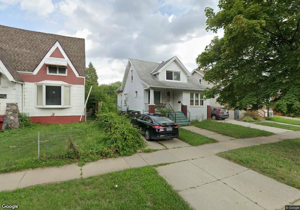
6617 Westpoint St Taylor, MI 48180
Estimated Value: $135,000 - $172,000
--
Bed
--
Bath
1,152
Sq Ft
$129/Sq Ft
Est. Value
About This Home
This home is located at 6617 Westpoint St, Taylor, MI 48180 and is currently estimated at $148,927, approximately $129 per square foot. 6617 Westpoint St is a home located in Wayne County with nearby schools including Clarence Randall Elementary School, Hoover Middle School, and Quest Charter Academy.
Ownership History
Date
Name
Owned For
Owner Type
Purchase Details
Closed on
Oct 17, 2005
Sold by
Oaks Robert A
Bought by
Guzman Holly Ann
Current Estimated Value
Home Financials for this Owner
Home Financials are based on the most recent Mortgage that was taken out on this home.
Original Mortgage
$76,100
Outstanding Balance
$41,652
Interest Rate
6.12%
Mortgage Type
Fannie Mae Freddie Mac
Estimated Equity
$107,275
Purchase Details
Closed on
Jul 31, 2000
Sold by
Tom Charley C
Bought by
Guzman Holly A
Create a Home Valuation Report for This Property
The Home Valuation Report is an in-depth analysis detailing your home's value as well as a comparison with similar homes in the area
Home Values in the Area
Average Home Value in this Area
Purchase History
| Date | Buyer | Sale Price | Title Company |
|---|---|---|---|
| Guzman Holly Ann | -- | First American Title Ins Co | |
| Guzman Holly A | $75,000 | -- |
Source: Public Records
Mortgage History
| Date | Status | Borrower | Loan Amount |
|---|---|---|---|
| Open | Guzman Holly Ann | $76,100 |
Source: Public Records
Tax History Compared to Growth
Tax History
| Year | Tax Paid | Tax Assessment Tax Assessment Total Assessment is a certain percentage of the fair market value that is determined by local assessors to be the total taxable value of land and additions on the property. | Land | Improvement |
|---|---|---|---|---|
| 2025 | $1,501 | $68,000 | $0 | $0 |
| 2024 | $1,501 | $61,100 | $0 | $0 |
| 2023 | $1,795 | $58,100 | $0 | $0 |
| 2022 | $1,433 | $55,800 | $0 | $0 |
| 2021 | $1,578 | $49,700 | $0 | $0 |
| 2020 | $1,563 | $40,500 | $0 | $0 |
| 2019 | $156,230 | $37,100 | $0 | $0 |
| 2018 | $1,230 | $35,200 | $0 | $0 |
| 2017 | $671 | $31,500 | $0 | $0 |
| 2016 | $1,523 | $30,500 | $0 | $0 |
| 2015 | $2,780 | $27,800 | $0 | $0 |
| 2013 | $2,780 | $29,100 | $0 | $0 |
| 2012 | $1,236 | $28,500 | $4,800 | $23,700 |
Source: Public Records
Map
Nearby Homes
- 6625 W Point St
- 6607 Westpoint St Unit Bldg-Unit
- 6607 Westpoint St
- 6633 Westpoint St
- 6606 Cornell St
- 6641 Westpoint St
- 6624 Cornell St
- 6567 Westpoint St
- 6647 Westpoint St
- 6608 Westpoint St
- 6608 Westpoint St Unit 2
- 6608 Westpoint St Unit 1
- 6640 Cornell St
- 6616 Westpoint St
- 6624 Westpoint St
- 6632 Westpoint St
- 6648 Cornell St
- 6561 Westpoint St
- 6657 Westpoint St Unit Bldg-Unit
- 6657 Westpoint St