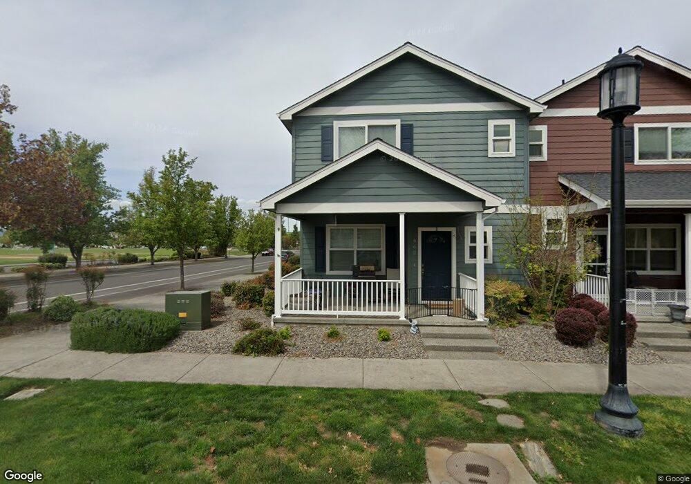
662 Blue Moon Dr Central Point, OR 97502
Estimated Value: $328,000 - $384,000
3
Beds
3
Baths
1,406
Sq Ft
$257/Sq Ft
Est. Value
About This Home
This home is located at 662 Blue Moon Dr, Central Point, OR 97502 and is currently estimated at $360,815, approximately $256 per square foot. 662 Blue Moon Dr is a home located in Jackson County with nearby schools including Richardson Elementary School, Scenic Middle School, and Crater High School.
Ownership History
Date
Name
Owned For
Owner Type
Purchase Details
Closed on
May 1, 2007
Sold by
W L Moore Construction Llc
Bought by
Cook David
Current Estimated Value
Home Financials for this Owner
Home Financials are based on the most recent Mortgage that was taken out on this home.
Original Mortgage
$127,000
Outstanding Balance
$77,166
Interest Rate
6.15%
Mortgage Type
Purchase Money Mortgage
Estimated Equity
$283,649
Create a Home Valuation Report for This Property
The Home Valuation Report is an in-depth analysis detailing your home's value as well as a comparison with similar homes in the area
Home Values in the Area
Average Home Value in this Area
Purchase History
| Date | Buyer | Sale Price | Title Company |
|---|---|---|---|
| Cook David | $229,900 | Lawyers Title Ins | |
| W L Moore Construction Llc | $64,950 | Lawyers Title Ins |
Source: Public Records
Mortgage History
| Date | Status | Borrower | Loan Amount |
|---|---|---|---|
| Open | Cook David | $127,000 |
Source: Public Records
Tax History Compared to Growth
Tax History
| Year | Tax Paid | Tax Assessment Tax Assessment Total Assessment is a certain percentage of the fair market value that is determined by local assessors to be the total taxable value of land and additions on the property. | Land | Improvement |
|---|---|---|---|---|
| 2025 | $2,976 | $178,990 | $76,450 | $102,540 |
| 2024 | $2,976 | $173,780 | $74,220 | $99,560 |
| 2023 | $2,880 | $168,720 | $72,060 | $96,660 |
| 2022 | $2,813 | $168,720 | $72,060 | $96,660 |
| 2021 | $2,733 | $163,810 | $69,960 | $93,850 |
| 2020 | $2,653 | $159,040 | $67,920 | $91,120 |
| 2019 | $2,588 | $149,920 | $64,020 | $85,900 |
| 2018 | $2,509 | $145,560 | $62,150 | $83,410 |
| 2017 | $2,446 | $145,560 | $62,150 | $83,410 |
| 2016 | $2,374 | $137,220 | $58,580 | $78,640 |
| 2015 | $2,275 | $137,220 | $58,580 | $78,640 |
| 2014 | $2,217 | $129,350 | $55,210 | $74,140 |
Source: Public Records
Map
Nearby Homes
- 626 Griffin Oaks Dr
- 407 Silver Creek Dr
- 1134 Steamboat Dr
- 1135 Shake Dr
- 1167 Boulder Ridge St
- 1159 Rustler Peak St
- 619 Palo Verde Way
- 905 Comet Ave
- 526 Stone Pointe Dr
- 4626 N Pacific Hwy
- 629 Bridge Creek Dr
- 342 Hazel St
- 1317 River Run St
- 327 Brookhaven Dr
- 55 Crater Ln
- 426 Bridge Creek Dr
- 431 N 5th St
- 356 Marian Ave Unit 40
- 1010 N 3rd St
- 349 W Pine St
- 654 Blue Moon Dr
- 646 Blue Moon Dr
- 630 Blue Moon Dr
- 622 Blue Moon Dr
- 614 Blue Moon Dr
- 606 Blue Moon Dr
- 598 Blue Moon Dr
- 766 Griffin Oaks Dr
- 798 Silver Creek Dr
- 762 Griffin Oaks Dr
- 590 Blue Moon Dr
- 758 Griffin Oaks Dr
- 582 Blue Moon Dr
- 683 Blue Moon Dr
- 654 Griffin Oaks Dr
- 677 Blue Moon Dr
- 574 Blue Moon Dr
- 671 Blue Moon Dr
- 568 Blue Moon Dr
- 650 Griffin Oaks Dr Unit 2