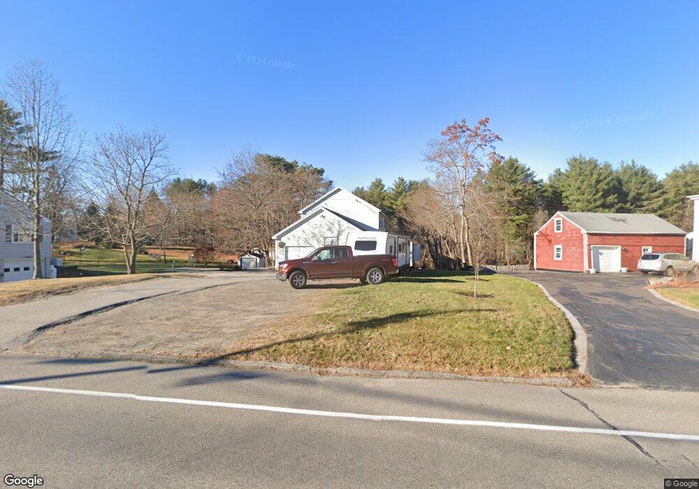
662 E Bridge St Westbrook, ME 04092
Estimated Value: $548,000 - $631,000
3
Beds
4
Baths
1,904
Sq Ft
$303/Sq Ft
Est. Value
About This Home
This home is located at 662 E Bridge St, Westbrook, ME 04092 and is currently estimated at $576,145, approximately $302 per square foot. 662 E Bridge St is a home located in Cumberland County with nearby schools including Westbrook High School, St. Brigid School, and Breakwater School.
Ownership History
Date
Name
Owned For
Owner Type
Purchase Details
Closed on
Jun 7, 2006
Sold by
Teal Llc
Bought by
Hodgkins Delwin A and Hodgkins Danielle K
Current Estimated Value
Home Financials for this Owner
Home Financials are based on the most recent Mortgage that was taken out on this home.
Original Mortgage
$208,165
Outstanding Balance
$125,304
Interest Rate
7%
Mortgage Type
Adjustable Rate Mortgage/ARM
Estimated Equity
$450,841
Create a Home Valuation Report for This Property
The Home Valuation Report is an in-depth analysis detailing your home's value as well as a comparison with similar homes in the area
Purchase History
| Date | Buyer | Sale Price | Title Company |
|---|---|---|---|
| Hodgkins Delwin A | -- | -- |
Source: Public Records
Mortgage History
| Date | Status | Borrower | Loan Amount |
|---|---|---|---|
| Open | Hodgkins Delwin A | $208,165 | |
| Closed | Hodgkins Delwin A | $36,735 |
Source: Public Records
Tax History
| Year | Tax Paid | Tax Assessment Tax Assessment Total Assessment is a certain percentage of the fair market value that is determined by local assessors to be the total taxable value of land and additions on the property. | Land | Improvement |
|---|---|---|---|---|
| 2023 | $5,574 | $334,200 | $83,000 | $251,200 |
| 2022 | $5,073 | $280,300 | $69,300 | $211,000 |
| 2021 | $4,998 | $280,300 | $69,300 | $211,000 |
| 2020 | $4,019 | $280,300 | $69,300 | $211,000 |
| 2019 | $0 | $280,300 | $69,300 | $211,000 |
| 2018 | $4,818 | $241,500 | $60,300 | $181,200 |
| 2017 | $4,560 | $241,500 | $60,300 | $181,200 |
| 2016 | $4,444 | $241,500 | $60,300 | $181,200 |
| 2015 | $4,337 | $241,500 | $60,300 | $181,200 |
| 2014 | $4,154 | $241,500 | $60,300 | $181,200 |
| 2013 | $4,154 | $241,500 | $60,300 | $181,200 |
Source: Public Records
Map
Nearby Homes
- 0 Reed St
- 18 Summit Cir
- 7 Kasseys Way Unit 5
- 858 Riverside St
- 290 Bridgton Rd Unit 1
- 60 Euclid Ave
- 375 Pride St Unit 38
- 22 Collins Place Dr Unit 4
- 95 Lane Ave
- 130 Lane Ave
- 171 Winterberry Dr Unit 48
- 157 Winterberry Dr Unit 46
- 149 Brooks Edge Farm Rd Unit 67
- 151 Brooks Edge Farm Rd Unit 68
- 7 Collins Place Unit 6
- 1638 Forest Ave
- 169 Brook St
- Lot 15&16 Chickadee Ln
- 171 Brook St Unit 49
- 171 Brook St Unit 44
- 662 E Bridge St
- 660 E Bridge St
- 664A E Bridge St
- 664 E Bridge St
- 1 Carlson St
- 665 E Bridge St
- 665 E Bridge St Unit West Lot
- 665 E Bridge St Unit Middle Lot
- 7 Carlson St
- 663 East Bridge
- 664B E Bridge St
- 655 E Bridge St
- 2 Carlson St
- 15 Carlson St
- 666 E Bridge St
- 45 Marlu St
- 636 E Bridge St
- 41 Marlu St
- 10 Carlson St
- 21 Carlson St
Your Personal Tour Guide
Ask me questions while you tour the home.