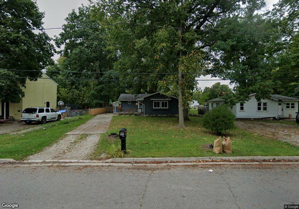
6620 Richard Rd Lansing, MI 48911
Southern Lansing NeighborhoodEstimated Value: $138,292 - $204,000
3
Beds
2
Baths
2,146
Sq Ft
$76/Sq Ft
Est. Value
About This Home
This home is located at 6620 Richard Rd, Lansing, MI 48911 and is currently estimated at $163,073, approximately $75 per square foot. 6620 Richard Rd is a home located in Ingham County with nearby schools including Reo Elementary School, Attwood School, and Everett High School.
Ownership History
Date
Name
Owned For
Owner Type
Purchase Details
Closed on
Dec 10, 2013
Sold by
Pitsonis Fedon V and Pitsonis Susan A
Bought by
Pitsonis Fedon V and Pitsonis Susan A
Current Estimated Value
Purchase Details
Closed on
Jan 29, 2008
Sold by
Morris Alicia F and Morris Emerson L
Bought by
Pitsonis Fedon V and Pitsonis Susan A
Home Financials for this Owner
Home Financials are based on the most recent Mortgage that was taken out on this home.
Original Mortgage
$91,675
Outstanding Balance
$57,977
Interest Rate
6.11%
Mortgage Type
Purchase Money Mortgage
Estimated Equity
$105,096
Purchase Details
Closed on
Dec 18, 2002
Sold by
Reynolds Anita K
Bought by
Morris Emerson L and Morris Alicia F
Home Financials for this Owner
Home Financials are based on the most recent Mortgage that was taken out on this home.
Original Mortgage
$78,800
Interest Rate
6.07%
Mortgage Type
Purchase Money Mortgage
Create a Home Valuation Report for This Property
The Home Valuation Report is an in-depth analysis detailing your home's value as well as a comparison with similar homes in the area
Home Values in the Area
Average Home Value in this Area
Purchase History
| Date | Buyer | Sale Price | Title Company |
|---|---|---|---|
| Pitsonis Fedon V | -- | None Available | |
| Pitsonis Fedon V | $96,500 | First American Ins Title | |
| Morris Emerson L | $98,500 | Transnation Title |
Source: Public Records
Mortgage History
| Date | Status | Borrower | Loan Amount |
|---|---|---|---|
| Open | Pitsonis Fedon V | $91,675 | |
| Previous Owner | Morris Emerson L | $78,800 |
Source: Public Records
Tax History Compared to Growth
Tax History
| Year | Tax Paid | Tax Assessment Tax Assessment Total Assessment is a certain percentage of the fair market value that is determined by local assessors to be the total taxable value of land and additions on the property. | Land | Improvement |
|---|---|---|---|---|
| 2025 | $2,868 | $70,300 | $6,400 | $63,900 |
| 2024 | $23 | $59,900 | $6,400 | $53,500 |
| 2023 | $2,689 | $53,100 | $6,400 | $46,700 |
| 2022 | $2,425 | $47,500 | $7,700 | $39,800 |
| 2021 | $2,375 | $47,100 | $5,600 | $41,500 |
| 2020 | $2,360 | $45,000 | $5,600 | $39,400 |
| 2019 | $2,262 | $39,600 | $5,600 | $34,000 |
| 2018 | $2,120 | $37,300 | $5,600 | $31,700 |
| 2017 | $2,030 | $37,300 | $5,600 | $31,700 |
| 2016 | $1,941 | $36,600 | $5,600 | $31,000 |
| 2015 | $1,941 | $36,000 | $11,150 | $24,850 |
| 2014 | $1,941 | $34,300 | $13,285 | $21,015 |
Source: Public Records
Map
Nearby Homes
- 6444 Sommerset Rd
- 6819 Richard Rd
- 6429 Rosedale Rd
- 6421 S Washington Ave
- 6270 S Washington Ave
- 6246 Gardenia Ave
- 6029 Ellendale Dr
- 218 Raritan Rd
- 5902 Hilliard Rd
- 1119 W Miller Rd
- 5041 Willoughby Rd Unit 4
- 2626 Little Hickory Dr
- 2340 Washington Rd
- 5730 Laporte Dr
- 5727 Annapolis Dr
- 1020 R G Curtiss Ave
- 5636 Ellendale Dr
- 921 E Willoughby Rd
- 6001 Joshua St
- 6037 Hughes Rd