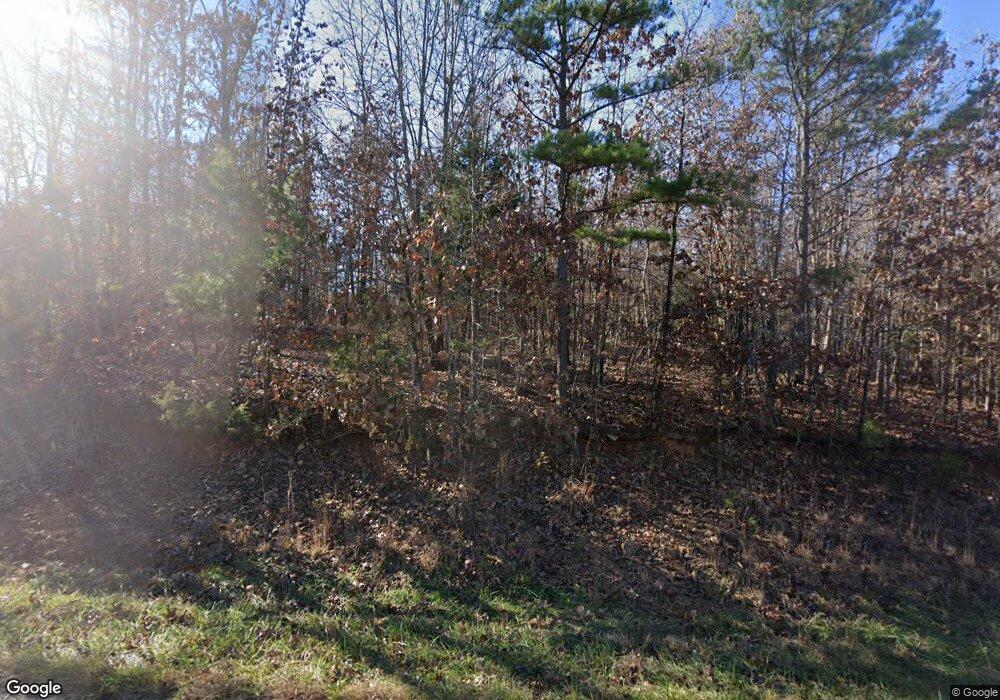
6623 State Route Ap West Plains, MO 65775
Estimated Value: $228,783 - $394,000
--
Bed
--
Bath
1,442
Sq Ft
$222/Sq Ft
Est. Value
About This Home
This home is located at 6623 State Route Ap, West Plains, MO 65775 and is currently estimated at $319,696, approximately $221 per square foot. 6623 State Route Ap is a home located in Howell County.
Ownership History
Date
Name
Owned For
Owner Type
Purchase Details
Closed on
Jul 31, 2018
Sold by
Benfield Leroy and Benfield Maridith
Bought by
Simpson Mark G and Mckelvey Mary C
Current Estimated Value
Home Financials for this Owner
Home Financials are based on the most recent Mortgage that was taken out on this home.
Original Mortgage
$85,000
Outstanding Balance
$74,219
Interest Rate
4.75%
Mortgage Type
Adjustable Rate Mortgage/ARM
Estimated Equity
$245,477
Purchase Details
Closed on
Apr 23, 2014
Sold by
Mccutcheon Rick
Bought by
Benfield Leroy and Benfield Maridith
Purchase Details
Closed on
May 11, 2006
Sold by
Collier Harold V and Collier Janet L
Bought by
Collier Harold V and Collier Janet L
Create a Home Valuation Report for This Property
The Home Valuation Report is an in-depth analysis detailing your home's value as well as a comparison with similar homes in the area
Home Values in the Area
Average Home Value in this Area
Purchase History
| Date | Buyer | Sale Price | Title Company |
|---|---|---|---|
| Simpson Mark G | -- | Wules Abstract Co | |
| Benfield Leroy | -- | Regional Title Inc | |
| Collier Harold V | -- | None Available |
Source: Public Records
Mortgage History
| Date | Status | Borrower | Loan Amount |
|---|---|---|---|
| Open | Simpson Mark G | $85,000 |
Source: Public Records
Tax History Compared to Growth
Tax History
| Year | Tax Paid | Tax Assessment Tax Assessment Total Assessment is a certain percentage of the fair market value that is determined by local assessors to be the total taxable value of land and additions on the property. | Land | Improvement |
|---|---|---|---|---|
| 2025 | $406 | $13,370 | $3,000 | $10,370 |
| 2024 | $406 | $11,950 | -- | -- |
| 2023 | $406 | $11,950 | $0 | $0 |
| 2022 | $388 | $11,400 | $0 | $0 |
| 2021 | $347 | $11,400 | $0 | $0 |
| 2020 | $347 | $10,160 | $0 | $0 |
| 2019 | $367 | $10,160 | $0 | $0 |
| 2018 | $347 | $9,600 | $0 | $0 |
| 2017 | $347 | $9,600 | $0 | $0 |
| 2015 | -- | $9,600 | $0 | $0 |
| 2014 | -- | $9,600 | $0 | $0 |
| 2013 | -- | $34,710 | $0 | $0 |
Source: Public Records
Map
Nearby Homes
- 1018 Missouri 14
- 875 State Route T
- Hc 64 E Highway 14 Unit Box 2130
- 7923 County Road 5150
- 7923 County Road 5150
- 2777 Missouri 14
- 5210 County Road 5490
- 7309 County Road 5090
- 1266 State Route Cc
- 000 Hwy 14
- 8305 County Road 5110
- 8685 State Route Ad
- 5366 Private Road 5212
- 2791 County Road 4060
- 4707 Private Road 5127
- 8574 County Road 6890
- 3124 State Route Cc
- 8456 Private Road 6853
- 8494 Private Road 6857
- 972 County Road 357
- 6625 State Route Ap
- 6623 State Route Ap
- 6671 State Route Ap
- 1401 State Route 14
- 0 Tbd State Highway 14
- 1403 State Route 14
- 1299 State Route 14
- 1402 State Route 14
- 1301 State Route 14
- 1261 State Route 14
- 1300 State Route 14
- 1470 State Route 14
- 1283 State Route 14
- 1288 State Route 14
- 1420 Missouri 14
- 1253 State Route 14
- 1007 State Route 14
- 1187 State Route 14
- 1480 State Route 14
- 1480 State Route 14
