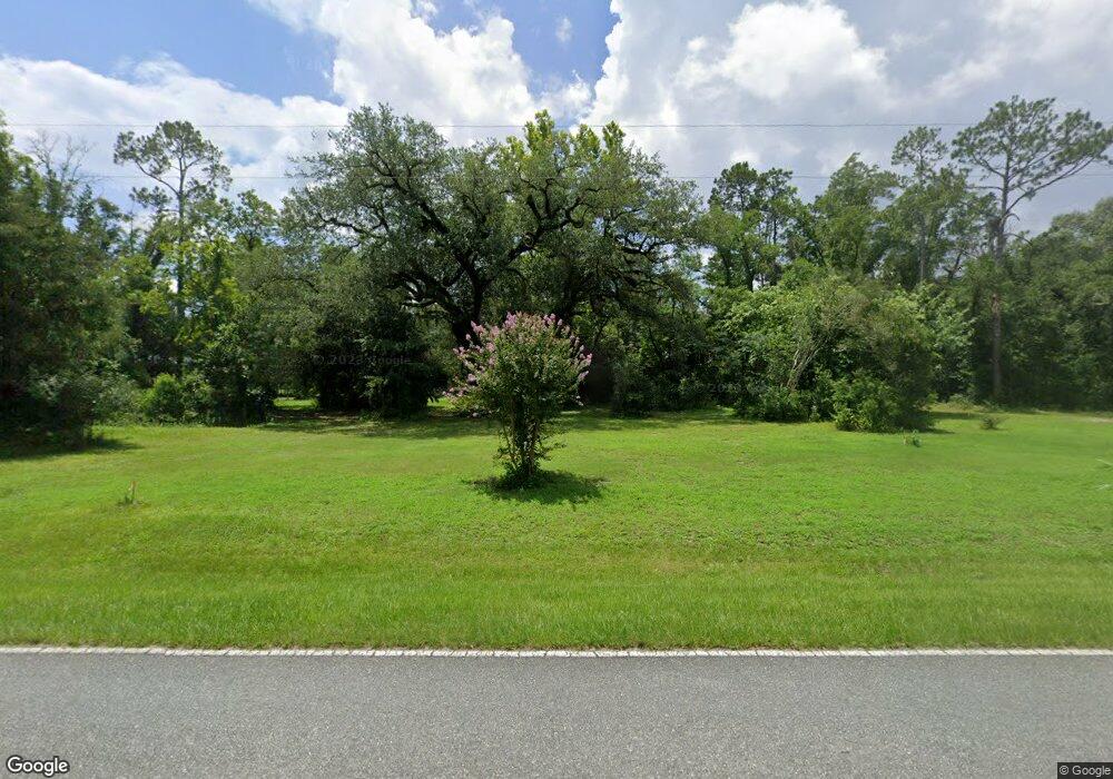
6625 Lovedale Rd Bascom, FL 32423
Estimated Value: $281,000 - $511,603
3
Beds
2
Baths
2,016
Sq Ft
$197/Sq Ft
Est. Value
About This Home
This home is located at 6625 Lovedale Rd, Bascom, FL 32423 and is currently estimated at $396,302, approximately $196 per square foot. 6625 Lovedale Rd is a home located in Jackson County with nearby schools including Malone School.
Ownership History
Date
Name
Owned For
Owner Type
Purchase Details
Closed on
Dec 11, 2019
Sold by
Ryder Robert T and Ryder Martha Jane
Bought by
Ryder Robert T and Ryder Marhta Jane
Current Estimated Value
Purchase Details
Closed on
Dec 6, 2019
Sold by
Brooks Dale
Bought by
Ryder Robert T
Purchase Details
Closed on
Jun 27, 2014
Sold by
Orr Thomas W
Bought by
Brooks Dale
Purchase Details
Closed on
Sep 10, 2009
Sold by
Maddox Myra
Bought by
Orr Thomas William
Purchase Details
Closed on
Jul 2, 2002
Sold by
Creel Virginia A
Bought by
Stewart Robert D and Stewart Carol E
Home Financials for this Owner
Home Financials are based on the most recent Mortgage that was taken out on this home.
Original Mortgage
$5,000
Interest Rate
6.75%
Mortgage Type
Seller Take Back
Purchase Details
Closed on
May 31, 2000
Sold by
Creel Clarence
Bought by
Creel Virginia A
Create a Home Valuation Report for This Property
The Home Valuation Report is an in-depth analysis detailing your home's value as well as a comparison with similar homes in the area
Purchase History
| Date | Buyer | Sale Price | Title Company |
|---|---|---|---|
| Ryder Robert T | -- | None Available | |
| Ryder Robert T | $6,000 | Marianna Title Services Inc | |
| Brooks Dale | -- | None Available | |
| Orr Thomas William | $12,000 | None Available | |
| Stewart Robert D | $12,000 | Florida Land Title & Trust C | |
| Creel Virginia A | -- | -- |
Source: Public Records
Mortgage History
| Date | Status | Borrower | Loan Amount |
|---|---|---|---|
| Previous Owner | Stewart Robert D | $5,000 |
Source: Public Records
Tax History
| Year | Tax Paid | Tax Assessment Tax Assessment Total Assessment is a certain percentage of the fair market value that is determined by local assessors to be the total taxable value of land and additions on the property. | Land | Improvement |
|---|---|---|---|---|
| 2025 | -- | $350,707 | -- | -- |
| 2024 | -- | $340,823 | -- | -- |
| 2023 | $3,755 | $330,896 | -- | -- |
| 2022 | $3,418 | $321,258 | $26,910 | $294,348 |
| 2021 | $267 | $25,810 | $20,930 | $4,880 |
| 2020 | $210 | $20,930 | $20,930 | $0 |
| 2019 | $97 | $6,980 | $6,500 | $480 |
| 2018 | $97 | $6,980 | $6,500 | $480 |
| 2017 | $97 | $6,980 | $6,500 | $480 |
| 2016 | $95 | $6,980 | $6,500 | $480 |
| 2015 | $151 | $10,818 | $8,000 | $2,818 |
| 2014 | $152 | $10,766 | $8,000 | $2,766 |
Source: Public Records
Map
Nearby Homes
- 00 Lovedale Rd
- TBD Wolf Pond Rd
- 6694 Wolf Pond Rd
- 4584 Dunaway Rd
- 4686 Dunaway Rd
- 0000 Amtrex Rd
- 0 Sweet Pond Rd
- 00 Sweet Pond Rd
- 00 Green Rd
- 6345 Bull Frog Dr
- 4170 Wintergreen Rd
- 3672 Northside Church Rd
- 6815 Welcome Church Rd
- 5917 Fort Rd Unit 69RD
- Lot 2 Oscar Rd
- Lot 1 Oscar Rd
- 1Ac Melon Ln
- 2 Ac Melon Ln
- 6454 Hartsfield Rd
- 6905 Bateau Pond Rd
- 6647 Lovedale Rd
- 6599 Dale Cir
- 6659 Lovedale Rd
- 6583 Dale Cir
- 6673 Lovedale Rd
- 6567 Lovedale Rd
- 6703 Lovedale Rd
- 4268 Rogers Rd
- 4390 Ross Rd
- 6528 Lovedale Rd
- 4258 Rogers Rd
- 6727 Lovedale Rd
- 4405 Ross Rd
- 6731 Lovedale Rd
- 6737 Lovedale Rd
- 6745 Lovedale Rd
- 6740 Lovedale Rd
- 4264 Sweet Pond Rd
- 4237 Rogers Rd
- 6499 Lovedale Rd
