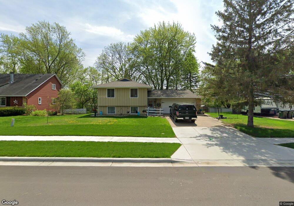
6628 133rd St W Saint Paul, MN 55124
Scott Highlands NeighborhoodEstimated Value: $363,000 - $393,000
4
Beds
2
Baths
874
Sq Ft
$426/Sq Ft
Est. Value
About This Home
This home is located at 6628 133rd St W, Saint Paul, MN 55124 and is currently estimated at $372,558, approximately $426 per square foot. 6628 133rd St W is a home located in Dakota County with nearby schools including Greenleaf Elementary School, Falcon Ridge Middle School, and Eastview Senior High School.
Ownership History
Date
Name
Owned For
Owner Type
Purchase Details
Closed on
Sep 22, 2008
Sold by
Sharp Family Trust
Bought by
Jagow James D and Jagow Michelle R
Current Estimated Value
Home Financials for this Owner
Home Financials are based on the most recent Mortgage that was taken out on this home.
Original Mortgage
$221,585
Outstanding Balance
$146,749
Interest Rate
6.43%
Mortgage Type
FHA
Estimated Equity
$225,810
Create a Home Valuation Report for This Property
The Home Valuation Report is an in-depth analysis detailing your home's value as well as a comparison with similar homes in the area
Home Values in the Area
Average Home Value in this Area
Purchase History
| Date | Buyer | Sale Price | Title Company |
|---|---|---|---|
| Jagow James D | $223,900 | -- |
Source: Public Records
Mortgage History
| Date | Status | Borrower | Loan Amount |
|---|---|---|---|
| Open | Jagow James D | $221,585 |
Source: Public Records
Tax History Compared to Growth
Tax History
| Year | Tax Paid | Tax Assessment Tax Assessment Total Assessment is a certain percentage of the fair market value that is determined by local assessors to be the total taxable value of land and additions on the property. | Land | Improvement |
|---|---|---|---|---|
| 2024 | $3,590 | $312,000 | $105,900 | $206,100 |
| 2023 | $3,590 | $322,300 | $106,100 | $216,200 |
| 2022 | $3,038 | $318,500 | $105,800 | $212,700 |
| 2021 | $2,892 | $270,100 | $92,000 | $178,100 |
| 2020 | $2,880 | $253,200 | $87,600 | $165,600 |
| 2019 | $2,602 | $245,300 | $83,400 | $161,900 |
| 2018 | $2,526 | $233,400 | $79,500 | $153,900 |
| 2017 | $2,472 | $218,500 | $75,700 | $142,800 |
| 2016 | $2,511 | $204,600 | $72,100 | $132,500 |
| 2015 | $2,376 | $186,646 | $64,245 | $122,401 |
| 2014 | -- | $177,599 | $61,362 | $116,237 |
| 2013 | -- | $160,595 | $55,744 | $104,851 |
Source: Public Records
Map
Nearby Homes
- 6567 133rd St W
- 13358 Foliage Ave
- 6790 132nd St W
- 13055 Florida Ct
- 13213 Ferris Ave
- 13135 Gamma Way
- 12865 Foliage Ave
- 6200 132nd Way
- 6118 132nd St W
- 13954 Flagstaff Ct
- 13947 Fleetwood Ave
- 12888 Falcon Dr
- 14057 Flintwood Ct
- 12816 Falcon Dr
- 7291 Upper 136th St W
- 13912 Farmington Way
- 13199 Gemstone Ct
- 13973 Falcon Ave
- 12710 Granger Ct Unit 323
- 13720 Georgia Dr
- 6628 6628 133rd-Street-w
- 6614 133rd St W
- 6642 133rd St W
- 6661 134th St W
- 6600 133rd St W
- 6656 133rd St W
- 6656 6656 133rd St
- 6681 134th St W
- 6641 134th St W
- 6601 133rd St W
- 6629 133rd St W
- 6615 133rd St W
- 6643 133rd St W
- 6670 133rd St W
- 6582 133rd St W
- 6701 134th St W
- 6605 134th Ct
- 6585 134th Ct
- 6583 133rd St W
- 6657 133rd St W