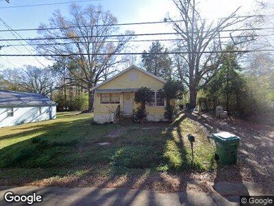
663 W Adams St Kosciusko, MS 39090
Estimated Value: $42,000 - $57,000
3
Beds
--
Bath
907
Sq Ft
$51/Sq Ft
Est. Value
About This Home
This home is located at 663 W Adams St, Kosciusko, MS 39090 and is currently estimated at $46,053, approximately $50 per square foot. 663 W Adams St is a home with nearby schools including Kosciusko Lower Elementary School, Kosciusko Middle School, and Kosciusko Upper Elementary.
Ownership History
Date
Name
Owned For
Owner Type
Purchase Details
Closed on
Mar 18, 2020
Sold by
Powernet Inc
Bought by
Cain Lenice D O
Current Estimated Value
Home Financials for this Owner
Home Financials are based on the most recent Mortgage that was taken out on this home.
Original Mortgage
$26,460
Outstanding Balance
$21,786
Interest Rate
3.4%
Mortgage Type
Stand Alone Refi Refinance Of Original Loan
Estimated Equity
$56,905
Purchase Details
Closed on
Sep 15, 2006
Sold by
Schuler Virginia A and Schuler James B
Bought by
Burden Andrea Prewitt
Purchase Details
Closed on
Oct 31, 2005
Sold by
Schuler Alvie Virginia and Prewtitt Barbara Schuler
Bought by
Burden Andrea Prewitt
Create a Home Valuation Report for This Property
The Home Valuation Report is an in-depth analysis detailing your home's value as well as a comparison with similar homes in the area
Home Values in the Area
Average Home Value in this Area
Purchase History
| Date | Buyer | Sale Price | Title Company |
|---|---|---|---|
| Cain Lenice D O | -- | -- | |
| Burden Andrea Prewitt | $23,710 | -- | |
| Burden Andrea Prewitt | -- | -- |
Source: Public Records
Mortgage History
| Date | Status | Borrower | Loan Amount |
|---|---|---|---|
| Open | Cain Lenice D O | $26,460 |
Source: Public Records
Tax History Compared to Growth
Tax History
| Year | Tax Paid | Tax Assessment Tax Assessment Total Assessment is a certain percentage of the fair market value that is determined by local assessors to be the total taxable value of land and additions on the property. | Land | Improvement |
|---|---|---|---|---|
| 2024 | $592 | $4,235 | $765 | $3,470 |
| 2023 | $244 | $2,388 | $510 | $1,878 |
| 2022 | $242 | $2,388 | $510 | $1,878 |
| 2021 | $242 | $2,388 | $510 | $1,878 |
| 2020 | $503 | $3,582 | $765 | $2,817 |
| 2019 | $237 | $2,371 | $510 | $1,861 |
| 2018 | $237 | $2,371 | $510 | $1,861 |
| 2017 | $238 | $2,371 | $510 | $1,861 |
| 2016 | $238 | $2,371 | $510 | $1,861 |
| 2015 | -- | $2,224 | $510 | $1,714 |
| 2014 | -- | $2,224 | $510 | $1,714 |
| 2013 | -- | $2,224 | $510 | $1,714 |
Source: Public Records
Map
Nearby Homes
- 19175 Mississippi 43
- 331 W North St
- 121 N Wells St
- 0 W South St
- 410 Crawford St
- 307 N Jackson St
- 0 Hwy 35 Hwy Unit 23029366
- 517 S Natchez St
- 0 Lot 8 West St S
- 0 Lot 7 West St S
- 0 Lot 6 West St S
- 2825 Attala Rd Unit 2207
- 705 S Natchez St
- 331 E Adams St
- 405 E Jefferson St
- 0 5th Ave Unit 11489562
- 509 E Jefferson St
- 922 Linden Dr
- 0 Redwing Ave
- 108 Highland Dr
- 663 W Adams St
- 16640 Highway 43 N
- 17491 Highway 43 N
- 16897 Highway 43 N
- 661 W Adams St
- 0 W Adams St
- 659 W Adams St
- 216 Carter St
- 669 W Adams St
- 220 Carter St
- 218 Carter St
- 222 Carter St
- 212 Carter St
- 657 W Adams St
- 224 Carter St
- 210 Carter St
- 219 Carter St
- 211 Carter St
- 655 W Adams St
- 671 W Adams St