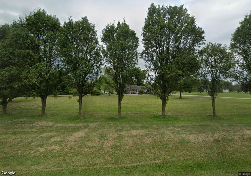
6630 State Route 762 Orient, OH 43146
Estimated Value: $258,000 - $344,537
2
Beds
1
Bath
1,456
Sq Ft
$219/Sq Ft
Est. Value
About This Home
This home is located at 6630 State Route 762, Orient, OH 43146 and is currently estimated at $319,384, approximately $219 per square foot. 6630 State Route 762 is a home located in Pickaway County.
Ownership History
Date
Name
Owned For
Owner Type
Purchase Details
Closed on
Dec 16, 2008
Sold by
Logan Wayne and Logan Laura L
Bought by
Logan Wayne and Logan Laura L
Current Estimated Value
Home Financials for this Owner
Home Financials are based on the most recent Mortgage that was taken out on this home.
Original Mortgage
$157,891
Outstanding Balance
$103,456
Interest Rate
5.96%
Mortgage Type
FHA
Estimated Equity
$215,928
Purchase Details
Closed on
Jan 31, 2008
Sold by
Dotson Clyde
Bought by
Logan Wayne and Rowe Laura L
Home Financials for this Owner
Home Financials are based on the most recent Mortgage that was taken out on this home.
Original Mortgage
$155,558
Interest Rate
6.11%
Mortgage Type
FHA
Purchase Details
Closed on
Apr 26, 2004
Sold by
Dotson Claudia Jo and Dotson Clyde
Bought by
Dotson Clyde
Home Financials for this Owner
Home Financials are based on the most recent Mortgage that was taken out on this home.
Original Mortgage
$140,700
Interest Rate
5.46%
Mortgage Type
New Conventional
Purchase Details
Closed on
Mar 1, 1989
Create a Home Valuation Report for This Property
The Home Valuation Report is an in-depth analysis detailing your home's value as well as a comparison with similar homes in the area
Home Values in the Area
Average Home Value in this Area
Purchase History
| Date | Buyer | Sale Price | Title Company |
|---|---|---|---|
| Logan Wayne | -- | American Homeland Title Agen | |
| Logan Wayne | $141,333 | American Homeland Title Agen | |
| Dotson Clyde | -- | Titlequest Agency | |
| -- | $12,500 | -- |
Source: Public Records
Mortgage History
| Date | Status | Borrower | Loan Amount |
|---|---|---|---|
| Open | Logan Wayne | $157,891 | |
| Closed | Logan Wayne | $155,558 | |
| Closed | Dotson Clyde | $140,700 |
Source: Public Records
Tax History Compared to Growth
Tax History
| Year | Tax Paid | Tax Assessment Tax Assessment Total Assessment is a certain percentage of the fair market value that is determined by local assessors to be the total taxable value of land and additions on the property. | Land | Improvement |
|---|---|---|---|---|
| 2024 | -- | $91,080 | $32,690 | $58,390 |
| 2023 | $3,439 | $91,080 | $32,690 | $58,390 |
| 2022 | $2,657 | $64,640 | $21,820 | $42,820 |
| 2021 | $2,665 | $64,640 | $21,820 | $42,820 |
| 2020 | $2,666 | $64,640 | $21,820 | $42,820 |
| 2019 | $2,264 | $57,300 | $20,910 | $36,390 |
| 2018 | $2,244 | $57,300 | $20,910 | $36,390 |
| 2017 | $2,303 | $57,300 | $20,910 | $36,390 |
| 2016 | $2,094 | $52,010 | $18,660 | $33,350 |
| 2015 | $2,095 | $52,010 | $18,660 | $33,350 |
| 2014 | $2,097 | $52,010 | $18,660 | $33,350 |
| 2013 | $2,196 | $52,360 | $18,660 | $33,700 |
Source: Public Records
Map
Nearby Homes
- 56 Chambers Bay Rd
- 294 Shady Hollow Dr
- 47 Front St
- 49 Front St
- 55 Genoa Cir
- 62 Genoa Cir
- 66 Genoa Cir
- 45 Genoa Cir
- 310 Genoa Rd
- The Siebert Plan at Genoa Crossing
- The Hollandia B Plan at Genoa Crossing
- The Rainier Plan at Genoa Crossing
- The Petoskey Plan at Genoa Crossing
- 428 Lockbay Rd
- 10901 Borror Rd Unit 19
- 317 Adrien Ct
- 486 Creekside Dr
- 201 Victorian Dr
- 500 Walker Pointe Dr
- 502 Conley Dr
- 7071 State Route 762
- 0 State Route 762
- 6587 State Route 762
- 6604 State Route 762
- 46 Parkview Cir
- 323 Parkview Rd
- 56 Parkview Cir
- 0 Genoa Rd Unit 2614120
- 0 Genoa Rd Unit 2614128
- 0 Genoa Rd Unit 2614122
- 0 Genoa Rd Unit Lot 91 219041322
- 0 Genoa Rd Unit Lot 59
- 6656 State Route 762
- 6568 State Route 762
- 6571 State Route 762
- 436 Bethpage Blvd
- 117 Main St
- 6685 State Route 762
- 22 Carmel Ct
- 47 Main St