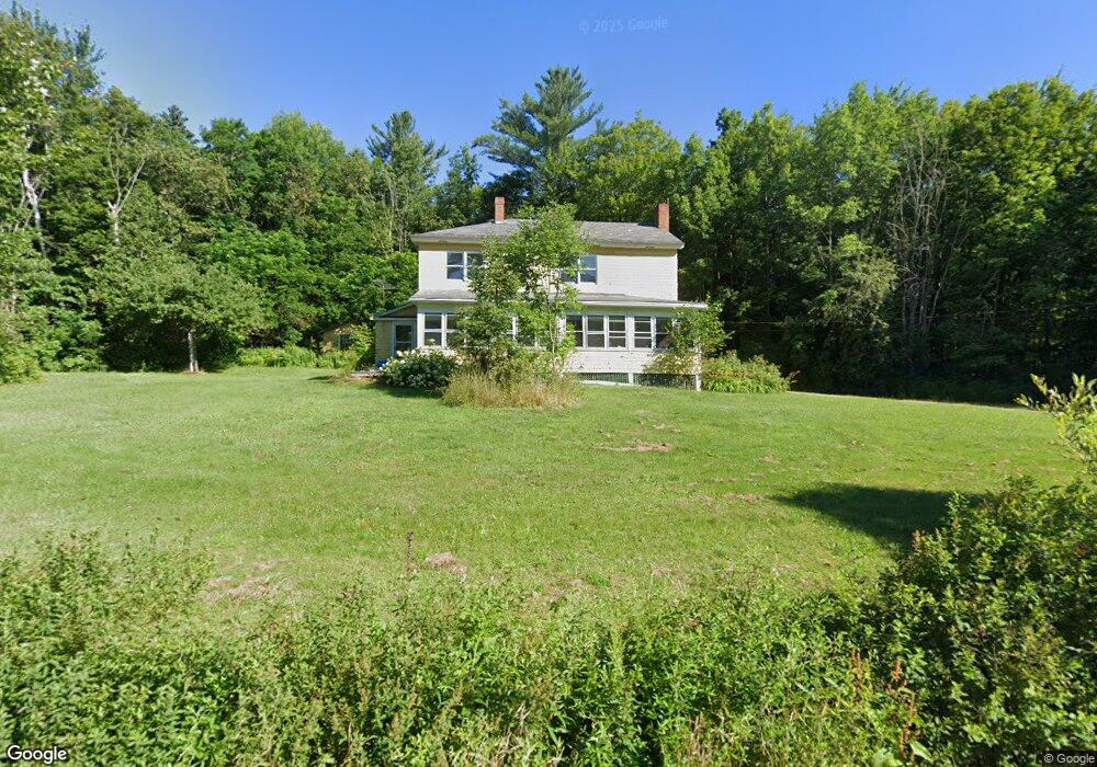
664 Durand Rd Randolph, NH 03593
Estimated Value: $431,000 - $469,000
4
Beds
2
Baths
2,244
Sq Ft
$202/Sq Ft
Est. Value
About This Home
This home is located at 664 Durand Rd, Randolph, NH 03593 and is currently estimated at $453,604, approximately $202 per square foot. 664 Durand Rd is a home located in Coos County with nearby schools including Edward Fenn Elementary School, Gorham Middle School, and Gorham High School.
Ownership History
Date
Name
Owned For
Owner Type
Purchase Details
Closed on
Mar 28, 2005
Sold by
Reed Gerald M
Bought by
Janicki Bronislaw F and Janicki Mary Ann
Current Estimated Value
Home Financials for this Owner
Home Financials are based on the most recent Mortgage that was taken out on this home.
Original Mortgage
$40,000
Outstanding Balance
$17,561
Interest Rate
4%
Mortgage Type
Adjustable Rate Mortgage/ARM
Estimated Equity
$436,043
Create a Home Valuation Report for This Property
The Home Valuation Report is an in-depth analysis detailing your home's value as well as a comparison with similar homes in the area
Purchase History
| Date | Buyer | Sale Price | Title Company |
|---|---|---|---|
| Janicki Bronislaw F | $110,000 | -- |
Source: Public Records
Mortgage History
| Date | Status | Borrower | Loan Amount |
|---|---|---|---|
| Open | Janicki Bronislaw F | $40,000 |
Source: Public Records
Tax History
| Year | Tax Paid | Tax Assessment Tax Assessment Total Assessment is a certain percentage of the fair market value that is determined by local assessors to be the total taxable value of land and additions on the property. | Land | Improvement |
|---|---|---|---|---|
| 2025 | $4,331 | $388,800 | $156,000 | $232,800 |
| 2024 | $4,331 | $388,800 | $156,000 | $232,800 |
| 2023 | $4,146 | $212,200 | $66,400 | $145,800 |
| 2022 | $3,590 | $212,200 | $66,400 | $145,800 |
| 2021 | $3,281 | $212,200 | $66,400 | $145,800 |
| 2020 | $3,204 | $212,200 | $66,400 | $145,800 |
| 2019 | $3,141 | $212,200 | $66,400 | $145,800 |
| 2018 | $3,027 | $208,600 | $61,100 | $147,500 |
| 2017 | $3,080 | $210,100 | $61,100 | $149,000 |
| 2016 | $3,216 | $210,100 | $61,100 | $149,000 |
| 2015 | $2,970 | $202,900 | $61,100 | $141,800 |
| 2014 | $2,878 | $198,900 | $60,600 | $138,300 |
| 2012 | $2,587 | $161,900 | $47,500 | $114,400 |
Source: Public Records
Map
Nearby Homes
- 1174 Presidential Hwy
- 00 U S Highway 2
- 1502 US Route 2
- 0 Presidential Hwy Unit 23669413
- 67 Owls Head Hwy
- 280 Gorham Hill Rd
- 141 Lancaster Rd Unit 14
- 141 Lancaster Rd
- 69 Casey Ln
- 7 Corrigan St
- 959 Presidential Hwy
- 0 No Address Crossing Unit 5015901
- 23 Pine St
- 7 Dublin St
- 11 Dublin St
- 240 Main St
- 177 Main St
- 00 Meadows Rd Unit Lot Map 8 Lot 4c 2
- 6 Church St
- 500 Main St Unit TRLR 4
Your Personal Tour Guide
Ask me questions while you tour the home.