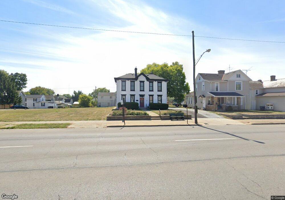
664 E Main St Lancaster, OH 43130
Estimated Value: $344,000
1
Bed
1
Bath
3,048
Sq Ft
$113/Sq Ft
Est. Value
About This Home
This home is located at 664 E Main St, Lancaster, OH 43130 and is currently priced at $344,000, approximately $112 per square foot. 664 E Main St is a home located in Fairfield County with nearby schools including Thomas Ewing Junior High School, Lancaster High School, and St Mary Elementary School.
Ownership History
Date
Name
Owned For
Owner Type
Purchase Details
Closed on
Nov 6, 2020
Sold by
Heimberger Robert E and Heimberger Charlotte A
Bought by
Dunbar Alan J and Dunbar Tiffany L
Current Estimated Value
Home Financials for this Owner
Home Financials are based on the most recent Mortgage that was taken out on this home.
Original Mortgage
$82,075
Interest Rate
2.34%
Mortgage Type
New Conventional
Purchase Details
Closed on
Apr 16, 1992
Sold by
Heimberger Robert
Bought by
Heimberger Robert
Create a Home Valuation Report for This Property
The Home Valuation Report is an in-depth analysis detailing your home's value as well as a comparison with similar homes in the area
Home Values in the Area
Average Home Value in this Area
Purchase History
| Date | Buyer | Sale Price | Title Company |
|---|---|---|---|
| Dunbar Alan J | $95,000 | Valmer Land Title Agency Box | |
| Heimberger Robert | -- | -- |
Source: Public Records
Mortgage History
| Date | Status | Borrower | Loan Amount |
|---|---|---|---|
| Closed | Dunbar Alan J | $82,075 | |
| Closed | Dunbar Alan J | $117,250 |
Source: Public Records
Tax History
| Year | Tax Paid | Tax Assessment Tax Assessment Total Assessment is a certain percentage of the fair market value that is determined by local assessors to be the total taxable value of land and additions on the property. | Land | Improvement |
|---|---|---|---|---|
| 2025 | $4,346 | $78,310 | $33,620 | $44,690 |
| 2024 | $4,346 | $48,340 | $17,210 | $31,130 |
| 2023 | $2,459 | $48,340 | $17,210 | $31,130 |
| 2022 | $2,479 | $48,340 | $17,210 | $31,130 |
| 2021 | $2,550 | $48,340 | $17,210 | $31,130 |
| 2020 | $2,564 | $48,340 | $17,210 | $31,130 |
| 2019 | $2,367 | $48,340 | $17,210 | $31,130 |
| 2018 | $2,287 | $48,050 | $17,210 | $30,840 |
| 2017 | $2,276 | $47,730 | $17,210 | $30,520 |
| 2016 | $2,199 | $47,730 | $17,210 | $30,520 |
| 2015 | $2,221 | $47,730 | $17,210 | $30,520 |
| 2014 | $2,123 | $47,730 | $17,210 | $30,520 |
| 2013 | $2,123 | $47,730 | $17,210 | $30,520 |
Source: Public Records
Map
Nearby Homes
- 647 E Walnut St
- 834 E Main St
- 515 E Chestnut St
- 844 E Wheeling St
- 547 E Mulberry St
- 859 E Mulberry St
- 869 E Mulberry St
- 429 E Locust St
- 414 E Walnut St
- 610 E 5th Ave
- 342 E Chestnut St
- 1106 E Walnut St
- 1113 E Locust St
- 249 N Pearl Ave
- 612 Oakwood Ave
- 705 Madison Ave
- 617 N Maple St
- 154 E Main St
- 403 S Ewing St
- 712 N Mount Pleasant Ave
- 662 E Main St
- 662 E Main St
- 666 E Main St
- 654 E Main St
- 670 E Main St
- 650 E Main St
- 123 Wyandotte St
- 657 E Chestnut St
- 653 E Chestnut St
- 119 Wyandotte St
- 676 E Main St
- 651 E Chestnut St
- 648 E Main St
- 127 Wyandotte St
- 649 E Chestnut St
- 647 E Chestnut St
- 646 E Main St
- 129 Wyandotte St
- 106 Starret St
- 655 E Chestnut St
Your Personal Tour Guide
Ask me questions while you tour the home.