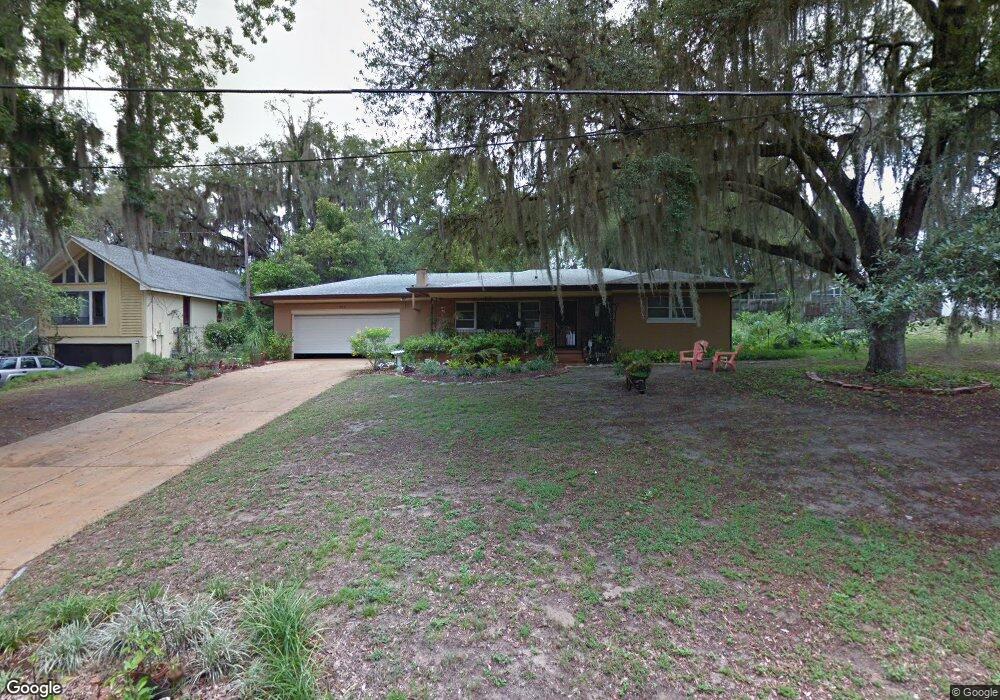
664 Linden St Clermont, FL 34711
Indian Hills NeighborhoodEstimated Value: $395,000 - $447,124
3
Beds
3
Baths
3,036
Sq Ft
$137/Sq Ft
Est. Value
About This Home
This home is located at 664 Linden St, Clermont, FL 34711 and is currently estimated at $415,531, approximately $136 per square foot. 664 Linden St is a home located in Lake County with nearby schools including Aurelia Cole Academy, Hawley Elementary School, and East Ridge High School.
Ownership History
Date
Name
Owned For
Owner Type
Purchase Details
Closed on
Jan 22, 2016
Sold by
Vega Wilson and Vega Magnolia C
Bought by
Stolting Lauren A
Current Estimated Value
Home Financials for this Owner
Home Financials are based on the most recent Mortgage that was taken out on this home.
Original Mortgage
$173,000
Outstanding Balance
$130,579
Interest Rate
2.65%
Mortgage Type
Amount Keyed Is An Aggregate Amount
Estimated Equity
$284,952
Create a Home Valuation Report for This Property
The Home Valuation Report is an in-depth analysis detailing your home's value as well as a comparison with similar homes in the area
Home Values in the Area
Average Home Value in this Area
Purchase History
| Date | Buyer | Sale Price | Title Company |
|---|---|---|---|
| Stolting Lauren A | $178,000 | Lp Title Service Llc |
Source: Public Records
Mortgage History
| Date | Status | Borrower | Loan Amount |
|---|---|---|---|
| Open | Stolting Lauren A | $173,000 |
Source: Public Records
Tax History Compared to Growth
Tax History
| Year | Tax Paid | Tax Assessment Tax Assessment Total Assessment is a certain percentage of the fair market value that is determined by local assessors to be the total taxable value of land and additions on the property. | Land | Improvement |
|---|---|---|---|---|
| 2026 | $2,261 | $183,700 | -- | -- |
| 2025 | $2,208 | $178,700 | -- | -- |
| 2024 | $2,208 | $178,700 | -- | -- |
| 2023 | $2,208 | $168,450 | $0 | $0 |
| 2022 | $2,133 | $163,550 | $0 | $0 |
| 2021 | $2,009 | $158,789 | $0 | $0 |
| 2020 | $1,988 | $156,597 | $0 | $0 |
| 2019 | $2,019 | $153,077 | $0 | $0 |
| 2018 | $1,929 | $150,223 | $0 | $0 |
| 2017 | $1,890 | $147,134 | $0 | $0 |
| 2016 | $1,131 | $103,002 | $0 | $0 |
| 2015 | $1,155 | $102,286 | $0 | $0 |
| 2014 | $1,124 | $101,475 | $0 | $0 |
Source: Public Records
Map
Nearby Homes
- 770 W Broome St
- 0 W Highway 50
- 955 Seminole St
- 1217 10th St
- 995 W Minnehaha Ave
- 530 Mar Nan Mar Place
- 883 10th St
- 721 W Lakeshore Dr
- 245 W Magnolia St
- 1120 W Magnolia St
- 1910 Brantley Cir
- 1130 W Minnehaha Ave
- 901 12th St
- 416 5th St
- 495 Carroll St
- 0 East Ave Unit MFRG5095417
- 0 County Road 561 Unit A MFRG5081619
- 0 County Road 561 Unit MFRO6363026
- 120 W Minnehaha Ave
- 1760 12th St