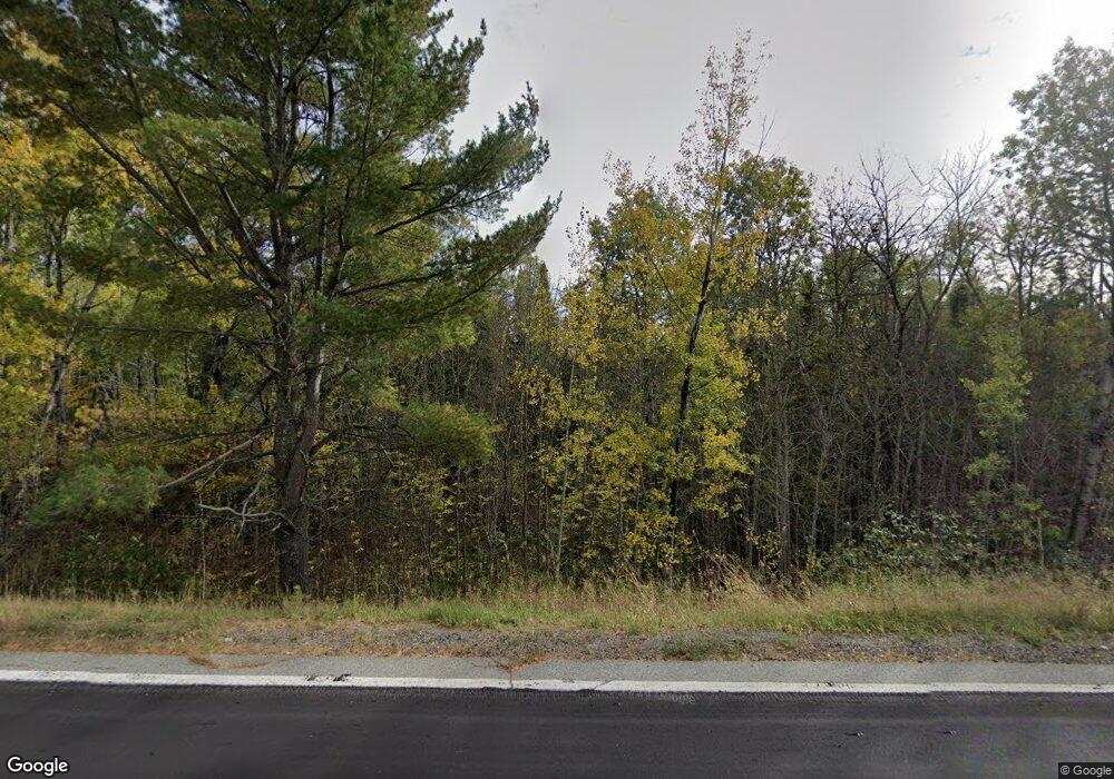
Estimated Value: $173,000 - $289,130
3
Beds
2
Baths
1,152
Sq Ft
$216/Sq Ft
Est. Value
About This Home
This home is located at 6642 Highway 1, Tower, MN 55790 and is currently estimated at $248,533, approximately $215 per square foot. 6642 Highway 1 is a home located in St. Louis County with nearby schools including Tower-Soudan Elementary School.
Ownership History
Date
Name
Owned For
Owner Type
Purchase Details
Closed on
Jun 30, 2017
Sold by
Gecox Jefrey J and Gecox Jeanette
Bought by
Kyle Elkins Julia E and Kyle Boshkaykin Randall
Current Estimated Value
Home Financials for this Owner
Home Financials are based on the most recent Mortgage that was taken out on this home.
Original Mortgage
$125,582
Outstanding Balance
$107,449
Interest Rate
5.12%
Mortgage Type
FHA
Estimated Equity
$141,084
Purchase Details
Closed on
May 29, 2009
Sold by
Gecox Jeffrey John and Boxeth April Jean
Bought by
Gecox Jeffrey J and Boxeth April J
Create a Home Valuation Report for This Property
The Home Valuation Report is an in-depth analysis detailing your home's value as well as a comparison with similar homes in the area
Purchase History
| Date | Buyer | Sale Price | Title Company |
|---|---|---|---|
| Kyle Elkins Julia E | $127,900 | None Available | |
| Gecox Jeffrey J | -- | None Available |
Source: Public Records
Mortgage History
| Date | Status | Borrower | Loan Amount |
|---|---|---|---|
| Open | Kyle Elkins Julia E | $125,582 |
Source: Public Records
Tax History
| Year | Tax Paid | Tax Assessment Tax Assessment Total Assessment is a certain percentage of the fair market value that is determined by local assessors to be the total taxable value of land and additions on the property. | Land | Improvement |
|---|---|---|---|---|
| 2024 | $1,112 | $212,000 | $45,100 | $166,900 |
| 2023 | $1,112 | $209,700 | $42,800 | $166,900 |
| 2022 | $1,066 | $182,200 | $38,000 | $144,200 |
| 2021 | $1,086 | $144,500 | $29,800 | $114,700 |
| 2020 | $1,090 | $144,500 | $29,800 | $114,700 |
| 2019 | $1,032 | $144,500 | $29,800 | $114,700 |
| 2018 | $908 | $144,500 | $29,800 | $114,700 |
| 2017 | $2,840 | $132,500 | $17,800 | $114,700 |
| 2016 | $2,872 | $258,100 | $128,500 | $129,600 |
| 2015 | $3,024 | $258,100 | $128,500 | $129,600 |
| 2014 | $3,024 | $258,100 | $128,500 | $129,600 |
Source: Public Records
Map
Nearby Homes
- 6701 Koski Rd
- 80086 Gruban Cir
- 80075 Lake of Vermilion Rd
- 80064 Osprey Pass
- 80046 Alder Ln
- 80034 Sweet Fern Loop
- 88034 Sweet Fern Loop
- 80012 Conifer Crest
- 80075 Waters of Vermilion Rd
- 80048 Waters of Vermilion Rd Unit Tamarack Trail
- 80054 Waters of Vermilion Rd Unit Tamarack Trail
- 80052 Waters of Vermilion Rd Unit Tamarack Trail
- Hawk Isle
- 1880 Everett Rd S
- 105 Marjo (3 Br) Dr
- 2001 A&B Bayview Rd
- 2001 A&B Bayview Dr
- TBD Vermillion Dr
- TBD 13 Lake Ave S
- TBD 6 Lake Ave S
- 6642 Highway 1
- 6642 Highway 1
- 6642 Highway 1
- 6642 Highway 1
- 6628 Highway 1
- 6628 Highway 1
- 6628 Highway 1
- 6628 Highway 1
- 6628 Highway 1
- 6586 Highway 1
- 6589 Highway 1
- 6591 Highway 1
- 6591 State Highway 1
- 9388 Holter Rd
- Lot A Pike River Flowage
- 9397 Holter Rd
- 6697 Koski Rd
- 6697 Koski Rd
- Lot B Pike River Flowage
- 6625 Koski Rd
Your Personal Tour Guide
Ask me questions while you tour the home.
