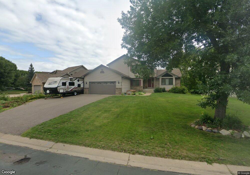
6642 Ruffed Grouse Rd Circle Pines, MN 55014
Estimated Value: $448,000 - $544,000
4
Beds
3
Baths
2,604
Sq Ft
$194/Sq Ft
Est. Value
About This Home
This home is located at 6642 Ruffed Grouse Rd, Circle Pines, MN 55014 and is currently estimated at $506,469, approximately $194 per square foot. 6642 Ruffed Grouse Rd is a home located in Anoka County with nearby schools including Rice Lake Elementary School, Centennial Middle School, and Centennial High School.
Ownership History
Date
Name
Owned For
Owner Type
Purchase Details
Closed on
Jul 25, 2022
Sold by
Lundstrom Daniel and Lundstrom Nancy
Bought by
Benoit Adam and Benoit April
Current Estimated Value
Home Financials for this Owner
Home Financials are based on the most recent Mortgage that was taken out on this home.
Original Mortgage
$374,680
Outstanding Balance
$356,894
Interest Rate
5.23%
Mortgage Type
New Conventional
Estimated Equity
$149,575
Create a Home Valuation Report for This Property
The Home Valuation Report is an in-depth analysis detailing your home's value as well as a comparison with similar homes in the area
Home Values in the Area
Average Home Value in this Area
Purchase History
| Date | Buyer | Sale Price | Title Company |
|---|---|---|---|
| Benoit Adam | $468,350 | -- |
Source: Public Records
Mortgage History
| Date | Status | Borrower | Loan Amount |
|---|---|---|---|
| Open | Benoit Adam | $374,680 |
Source: Public Records
Tax History Compared to Growth
Tax History
| Year | Tax Paid | Tax Assessment Tax Assessment Total Assessment is a certain percentage of the fair market value that is determined by local assessors to be the total taxable value of land and additions on the property. | Land | Improvement |
|---|---|---|---|---|
| 2025 | $5,505 | $479,100 | $132,000 | $347,100 |
| 2024 | $5,505 | $463,100 | $125,600 | $337,500 |
| 2023 | $4,934 | $466,000 | $125,600 | $340,400 |
| 2022 | $4,699 | $445,300 | $107,800 | $337,500 |
| 2021 | $4,751 | $366,500 | $88,000 | $278,500 |
| 2020 | $4,887 | $360,800 | $95,000 | $265,800 |
| 2019 | $4,874 | $357,100 | $91,400 | $265,700 |
| 2018 | $4,374 | $337,900 | $0 | $0 |
| 2017 | $4,071 | $331,400 | $0 | $0 |
| 2016 | $4,299 | $300,200 | $0 | $0 |
| 2015 | $4,167 | $300,200 | $93,500 | $206,700 |
| 2014 | -- | $259,800 | $79,000 | $180,800 |
Source: Public Records
Map
Nearby Homes
- 6542 Black Duck Dr S
- 6733 Timberwolf Trail
- 1080 Killdeer Ct
- 1367 Wolf Cir
- 6408 Cassiopeia Ct
- 1159 Durango Point
- 1428 Sherman Lake Rd
- 6478 Fox Rd
- 1469 Sherman Lake Rd
- 907 Fox Rd
- 1425 Holly Dr E
- 761 Country Lakes Dr
- 1610 Widgeon Cir
- 1554 Holly Dr E
- 7027 W Shadow Lake Dr
- 1707 Dupre Rd
- 6465 W Shadow Lake Dr
- 6391 Centerville Rd
- 7037 Lamotte Dr
- 6275 W Shadow Lake Dr
- 6636 Ruffed Grouse Rd
- 6648 Ruffed Grouse Rd
- 6630 Ruffed Grouse Rd
- 6654 Ruffed Grouse Rd
- 6643 Ruffed Grouse Rd
- 1168 Ruffed Grouse Ct
- 6658 Ruffed Grouse Rd
- 6624 Ruffed Grouse Rd
- 6631 Ruffed Grouse Rd
- 6631 Wild Turkey Trail
- 1173 Ruffed Grouse Ct
- 1162 Ruffed Grouse Ct
- 6625 Ruffed Grouse Rd
- 6618 Ruffed Grouse Rd
- 1167 Ruffed Grouse Ct
- 6624 Wild Turkey Trail
- 6619 Ruffed Grouse Rd
- 6662 Ruffed Grouse Rd
- 6625 Wild Turkey Trail
- 1156 Ruffed Grouse Ct