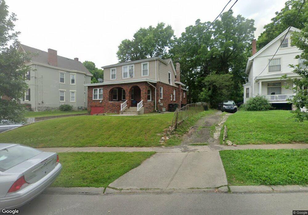
6643 Dante Ave Cincinnati, OH 45213
Kennedy Heights NeighborhoodEstimated Value: $266,000 - $465,000
2
Beds
1
Bath
2,063
Sq Ft
$167/Sq Ft
Est. Value
About This Home
This home is located at 6643 Dante Ave, Cincinnati, OH 45213 and is currently estimated at $344,429, approximately $166 per square foot. 6643 Dante Ave is a home located in Hamilton County with nearby schools including Pleasant Ridge Montessori School, Shroder High School, and Clark Montessori High School.
Ownership History
Date
Name
Owned For
Owner Type
Purchase Details
Closed on
Nov 17, 1994
Sold by
Forte John W and Forte Donna J
Bought by
Forte Terrence C and Forte Lee A
Current Estimated Value
Home Financials for this Owner
Home Financials are based on the most recent Mortgage that was taken out on this home.
Original Mortgage
$66,400
Interest Rate
8.91%
Create a Home Valuation Report for This Property
The Home Valuation Report is an in-depth analysis detailing your home's value as well as a comparison with similar homes in the area
Home Values in the Area
Average Home Value in this Area
Purchase History
| Date | Buyer | Sale Price | Title Company |
|---|---|---|---|
| Forte Terrence C | -- | -- |
Source: Public Records
Mortgage History
| Date | Status | Borrower | Loan Amount |
|---|---|---|---|
| Previous Owner | Forte Terrence C | $66,400 |
Source: Public Records
Tax History
| Year | Tax Paid | Tax Assessment Tax Assessment Total Assessment is a certain percentage of the fair market value that is determined by local assessors to be the total taxable value of land and additions on the property. | Land | Improvement |
|---|---|---|---|---|
| 2025 | $5,000 | $78,758 | $19,884 | $58,874 |
| 2023 | $5,002 | $78,758 | $19,884 | $58,874 |
| 2022 | $3,853 | $54,509 | $11,865 | $42,644 |
| 2021 | $3,784 | $54,509 | $11,865 | $42,644 |
| 2020 | $3,795 | $54,509 | $11,865 | $42,644 |
| 2019 | $3,689 | $48,237 | $10,500 | $37,737 |
| 2018 | $3,692 | $48,237 | $10,500 | $37,737 |
| 2017 | $3,556 | $48,237 | $10,500 | $37,737 |
| 2016 | $3,370 | $44,583 | $10,080 | $34,503 |
| 2015 | $3,012 | $44,583 | $10,080 | $34,503 |
| 2014 | $3,028 | $44,583 | $10,080 | $34,503 |
| 2013 | $3,208 | $46,442 | $10,500 | $35,942 |
Source: Public Records
Map
Nearby Homes
- 6256 Rogers Park Place
- 3523 Mary Ann Ln
- 6460 Mchugh Place
- 6454 Crestview Ave
- 6470 Crestview Ave
- 6466 Crestview Ave
- 6462 Crestview Ave
- 6458 Crestview Ave
- 3625 Zinsle Ave
- 6501 Coleridge Ave
- 3521 Section Rd
- 6508 Coleridge Ave
- 3566 Amberacres Dr
- 6218 Kennedy Ave
- 6201 Kennedy Ave
- 6240 Red Bank Rd
- 3824 Standish Ave
- 6221 Hedge Ave
- 3370 Woodford Rd
- 6006 Grand Vista Ave
Your Personal Tour Guide
Ask me questions while you tour the home.