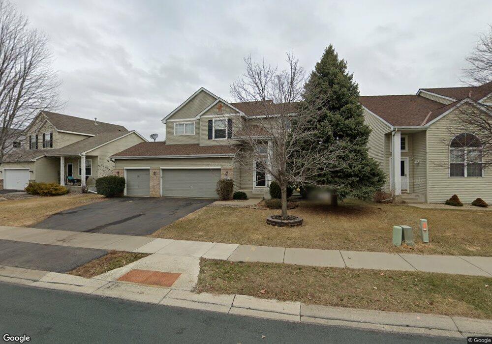
6651 Carlisle Curve Shakopee, MN 55379
Estimated Value: $501,916 - $525,000
5
Beds
4
Baths
2,332
Sq Ft
$220/Sq Ft
Est. Value
About This Home
This home is located at 6651 Carlisle Curve, Shakopee, MN 55379 and is currently estimated at $511,979, approximately $219 per square foot. 6651 Carlisle Curve is a home located in Scott County with nearby schools including Red Oak Elementary School, Shakopee West Middle School, and Shakopee Senior High School.
Ownership History
Date
Name
Owned For
Owner Type
Purchase Details
Closed on
May 28, 2021
Sold by
Kuske Michelle Renee
Bought by
Kuske Travis Taylor
Current Estimated Value
Purchase Details
Closed on
Jun 13, 2003
Sold by
Hanson Craig D and Hanson Julie A
Bought by
Kuske Travis
Purchase Details
Closed on
Jul 3, 2000
Sold by
Juaire Gregory and Juaire Stephanie
Bought by
Hanson Craig D and Hanson Julie A
Purchase Details
Closed on
Jul 2, 1999
Sold by
Centex Homes Minnesota Division
Bought by
Juaire Gregory J
Create a Home Valuation Report for This Property
The Home Valuation Report is an in-depth analysis detailing your home's value as well as a comparison with similar homes in the area
Home Values in the Area
Average Home Value in this Area
Purchase History
| Date | Buyer | Sale Price | Title Company |
|---|---|---|---|
| Kuske Travis Taylor | -- | Titlesmart Inc | |
| Kuske Travis | $289,900 | -- | |
| Hanson Craig D | $236,800 | -- | |
| Juaire Gregory J | $206,465 | -- |
Source: Public Records
Tax History Compared to Growth
Tax History
| Year | Tax Paid | Tax Assessment Tax Assessment Total Assessment is a certain percentage of the fair market value that is determined by local assessors to be the total taxable value of land and additions on the property. | Land | Improvement |
|---|---|---|---|---|
| 2025 | $5,212 | $503,100 | $154,500 | $348,600 |
| 2024 | $5,278 | $495,600 | $151,500 | $344,100 |
| 2023 | $5,254 | $483,400 | $147,000 | $336,400 |
| 2022 | $4,712 | $479,600 | $141,300 | $338,300 |
| 2021 | $4,426 | $371,400 | $118,800 | $252,600 |
| 2020 | $4,666 | $349,400 | $99,000 | $250,400 |
| 2019 | $4,778 | $340,100 | $91,800 | $248,300 |
| 2018 | $4,502 | $0 | $0 | $0 |
| 2016 | $4,578 | $0 | $0 | $0 |
| 2014 | -- | $0 | $0 | $0 |
Source: Public Records
Map
Nearby Homes
- 6869 Falmouth Curve
- 7287 Falmouth Curve
- 7263 Falmouth Curve
- 1463 Ashbourne Cir
- 1789 Windsor Dr S
- 7379 Devin Ln
- 1515 Yorkshire Ln
- 1411 Yorkshire Ln
- 7584 Derby Ln
- 7432 Whitehall Rd
- 1782 Switchgrass Cir
- 2015 Brookview St
- Sheridan & Sheridan C Plan at Whispering Waters
- Preston I & II Plan at Whispering Waters
- Newport Plan at Whispering Waters
- Morgan Plan at Whispering Waters
- Mackenzie Plan at Whispering Waters
- Lincoln II Plan at Whispering Waters
- Highlands Plan at Whispering Waters
- Greystone Plan at Whispering Waters
- 6641 Carlisle Curve
- 6671 Carlisle Curve
- 6678 Danbury Curve
- 6631 Carlisle Curve
- 6691 Carlisle Curve
- 6688 Danbury Curve
- 6658 Danbury Curve
- 6682 Ashton Cir
- 6621 Carlisle Curve
- 6701 Carlisle Curve
- 6698 Danbury Curve
- 6648 Danbury Curve
- 6690 Carlisle Curve
- 6611 Carlisle Curve
- 6676 Ashton Cir
- 6721 Carlisle Curve
- 6698 Carlisle Curve
- 6708 Danbury Curve
- 6638 Danbury Curve
- 6670 Ashton Cir