6657 S Reed Way Unit A Littleton, CO 80123
Dutch Creek Village NeighborhoodEstimated Value: $522,000 - $586,000
3
Beds
3
Baths
2,367
Sq Ft
$236/Sq Ft
Est. Value
About This Home
This home is located at 6657 S Reed Way Unit A, Littleton, CO 80123 and is currently estimated at $559,031, approximately $236 per square foot. 6657 S Reed Way Unit A is a home located in Jefferson County with nearby schools including Leawood Elementary School, Ken Caryl Middle School, and Columbine High School.
Ownership History
Date
Name
Owned For
Owner Type
Purchase Details
Closed on
Nov 10, 2011
Sold by
Weller Shawn C
Bought by
Axman Dayle
Current Estimated Value
Home Financials for this Owner
Home Financials are based on the most recent Mortgage that was taken out on this home.
Original Mortgage
$240,000
Outstanding Balance
$164,681
Interest Rate
4.15%
Mortgage Type
New Conventional
Estimated Equity
$394,350
Create a Home Valuation Report for This Property
The Home Valuation Report is an in-depth analysis detailing your home's value as well as a comparison with similar homes in the area
Home Values in the Area
Average Home Value in this Area
Purchase History
| Date | Buyer | Sale Price | Title Company |
|---|---|---|---|
| Axman Dayle | $300,000 | Land Title Guarantee Company |
Source: Public Records
Mortgage History
| Date | Status | Borrower | Loan Amount |
|---|---|---|---|
| Open | Axman Dayle | $240,000 |
Source: Public Records
Tax History Compared to Growth
Tax History
| Year | Tax Paid | Tax Assessment Tax Assessment Total Assessment is a certain percentage of the fair market value that is determined by local assessors to be the total taxable value of land and additions on the property. | Land | Improvement |
|---|---|---|---|---|
| 2024 | $2,493 | $33,279 | $6,030 | $27,249 |
| 2023 | $2,493 | $33,279 | $6,030 | $27,249 |
| 2022 | $2,138 | $29,314 | $4,170 | $25,144 |
| 2021 | $2,845 | $30,157 | $4,290 | $25,867 |
| 2020 | $2,715 | $28,884 | $4,290 | $24,594 |
| 2019 | $2,679 | $28,884 | $4,290 | $24,594 |
| 2018 | $2,353 | $24,583 | $3,600 | $20,983 |
| 2017 | $2,112 | $24,583 | $3,600 | $20,983 |
| 2016 | $2,334 | $26,204 | $3,184 | $23,020 |
| 2015 | $1,935 | $26,204 | $3,184 | $23,020 |
| 2014 | $1,935 | $20,338 | $2,229 | $18,109 |
Source: Public Records
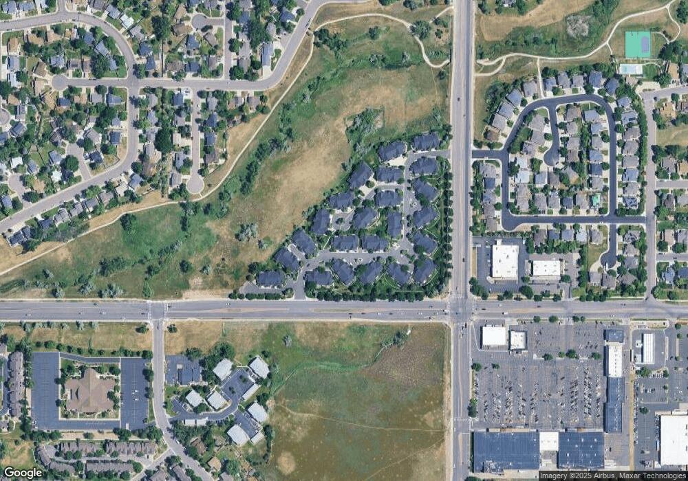
Map
Nearby Homes
- 6392 S Newland Ct
- 7263 W Walker Place
- 6809 S Webster St Unit E
- 6809 S Webster St Unit G
- 6837 S Webster St Unit C
- 6664 S Webster St
- 6365 W Coal Mine Ave
- 6595 S Webster St
- 6895 S Webster St
- 6835 S Webster St Unit H
- 6835 S Webster St Unit A
- 6751 S Lamar St
- 7633 W Euclid Dr
- 6469 S Yukon St
- 7020 W Portland Ave Unit 7020
- 6708 W Portland Ave
- 7134 W Portland Ave Unit 7134
- 7196 W Portland Ave Unit 7196
- 6551 S Harlan Ct
- 6531 S Harlan Ct
- 6657 S Reed Way Unit C
- 6657 S Reed Way
- 6924 W Euclid Place Unit C
- 6924 W Euclid Place Unit B
- 6637 S Reed Way Unit C
- 6637 S Reed Way Unit B
- 6637 S Reed Way Unit A
- 6637 S Reed Way
- 6646 S Reed Way Unit C
- 6646 S Reed Way Unit B
- 6646 S Reed Way Unit A
- 6656 S Reed Way Unit C
- 6656 S Reed Way Unit B
- 6656 S Reed Way Unit A
- 6933 W Euclid Place Unit C
- 6933 W Euclid Place Unit B
- 6933 W Euclid Place Unit A
- 6923 W Euclid Place Unit A
- 6923 W Euclid Place Unit B
- 6923 W Euclid Place Unit C