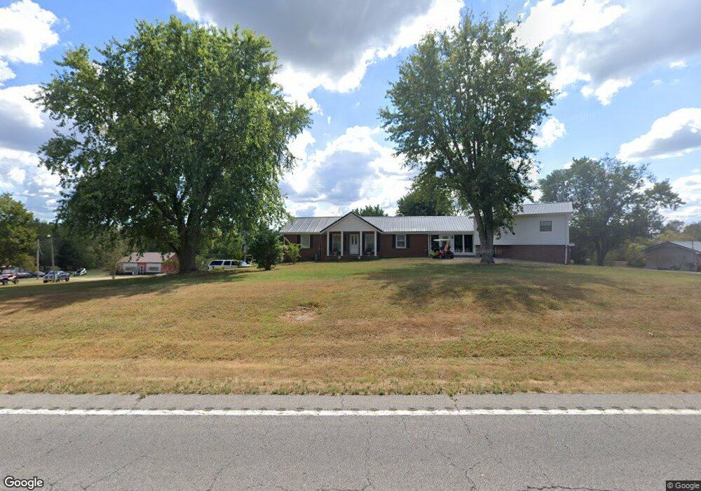
6661 Highway 76 E Springfield, TN 37172
Estimated Value: $348,000 - $520,000
Studio
2
Baths
2,328
Sq Ft
$194/Sq Ft
Est. Value
About This Home
This home is located at 6661 Highway 76 E, Springfield, TN 37172 and is currently estimated at $451,750, approximately $194 per square foot. 6661 Highway 76 E is a home located in Robertson County with nearby schools including Robert F. Woodall Elementary School, White House Heritage Elementary School, and White House Heritage High School.
Ownership History
Date
Name
Owned For
Owner Type
Purchase Details
Closed on
Sep 24, 2012
Sold by
Robertson James
Bought by
Robertson James C Deborah
Current Estimated Value
Home Financials for this Owner
Home Financials are based on the most recent Mortgage that was taken out on this home.
Original Mortgage
$108,000
Outstanding Balance
$74,692
Interest Rate
3.71%
Mortgage Type
Commercial
Estimated Equity
$377,058
Purchase Details
Closed on
Jul 15, 1986
Bought by
Jones Edward L
Create a Home Valuation Report for This Property
The Home Valuation Report is an in-depth analysis detailing your home's value as well as a comparison with similar homes in the area
Home Values in the Area
Average Home Value in this Area
Purchase History
| Date | Buyer | Sale Price | Title Company |
|---|---|---|---|
| Robertson James C Deborah | $60,000 | -- | |
| Jones Edward L | -- | -- |
Source: Public Records
Mortgage History
| Date | Status | Borrower | Loan Amount |
|---|---|---|---|
| Open | Robertson James C Deborah | $108,000 |
Source: Public Records
Tax History
| Year | Tax Paid | Tax Assessment Tax Assessment Total Assessment is a certain percentage of the fair market value that is determined by local assessors to be the total taxable value of land and additions on the property. | Land | Improvement |
|---|---|---|---|---|
| 2025 | $1,817 | $100,925 | $16,300 | $84,625 |
| 2024 | $1,817 | $100,925 | $16,300 | $84,625 |
| 2023 | $1,817 | $100,925 | $16,300 | $84,625 |
| 2022 | $1,439 | $55,850 | $8,975 | $46,875 |
| 2021 | $1,255 | $55,950 | $8,975 | $46,975 |
| 2020 | $1,255 | $48,725 | $8,975 | $39,750 |
| 2019 | $1,255 | $48,725 | $8,975 | $39,750 |
| 2018 | $1,255 | $48,725 | $8,975 | $39,750 |
| 2017 | $1,173 | $38,025 | $7,225 | $30,800 |
| 2016 | $1,173 | $38,025 | $7,225 | $30,800 |
| 2015 | $1,126 | $38,025 | $7,225 | $30,800 |
| 2014 | $1,126 | $38,025 | $7,225 | $30,800 |
Source: Public Records
Map
Nearby Homes
- 3538 Armstrong Rd
- 3695 Armstrong Rd
- 6840 Herbert Shannon Rd
- 1074 Pair Six Dr
- 3972 Baggett Rd
- 7855 Bethlehem Rd
- 3941 Baggett Rd
- 4031 Wells Rd
- 4019 Highland Dr
- 338 Gallop Ln
- 5904 Highway 76 E
- 126 Robertson Ave
- 6498 N Mount Pleasant Rd
- 238 Clydesdale Ln
- 6513 N Mount Pleasant Rd
- 2045 Jersey Dr
- 110 Robertson Ave
- 2686 Bellar Rd Unit 1
- 312 Brandywine Ln
- 4142 Hereford Dr
- 6637 Highway 76 E
- 6640 Highway 76 E
- 6636 Highway 76 E
- 6665 Highway 76 E
- 6655 Highway 76 E
- 6642 Highway 76 E
- 6667 Highway 76 E
- 6641 Highway 76 E
- 6643 Highway 76 E
- 6635 Highway 76 E
- 6602 Highway 76 E
- 6633 Highway 76 E
- 6649 Highway 76 E
- 6651 Highway 76 E
- 6600 Highway 76 E
- 6584 Highway 76 E
- 6605 Highway 76 E
- 6673 Highway 76 E
- 6578 Highway 76 E
- 6593 Highway 76 E
Your Personal Tour Guide
Ask me questions while you tour the home.