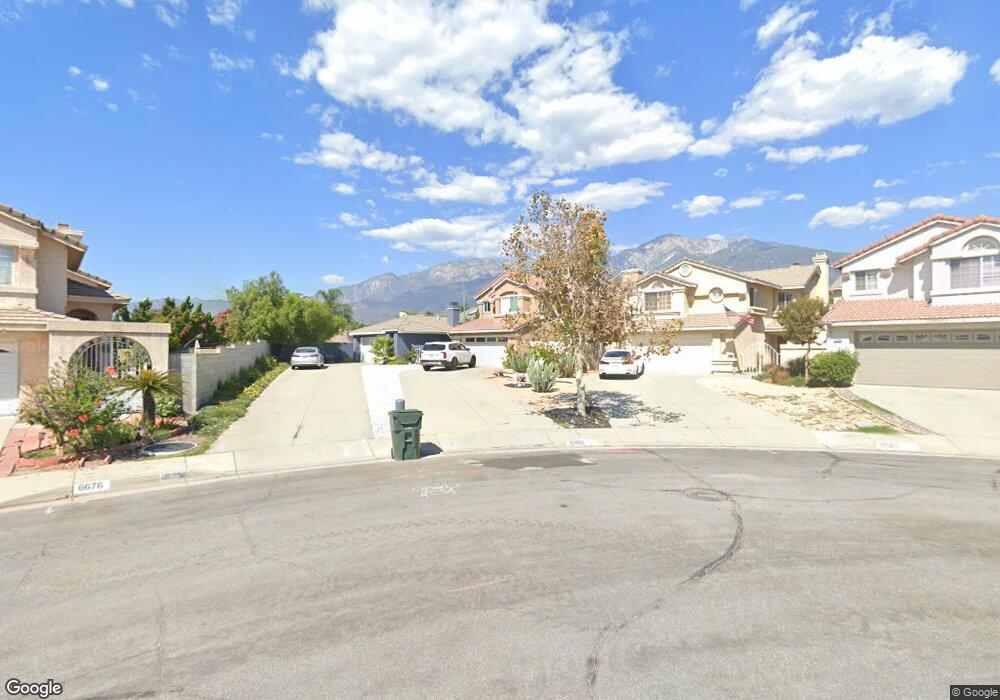
6670 Austin Ct Rancho Cucamonga, CA 91701
Victoria NeighborhoodEstimated Value: $664,000 - $732,000
3
Beds
2
Baths
1,161
Sq Ft
$607/Sq Ft
Est. Value
About This Home
This home is located at 6670 Austin Ct, Rancho Cucamonga, CA 91701 and is currently estimated at $705,089, approximately $607 per square foot. 6670 Austin Ct is a home located in San Bernardino County with nearby schools including Victoria Groves Elementary, Vineyard Junior High, and Los Osos High.
Ownership History
Date
Name
Owned For
Owner Type
Purchase Details
Closed on
Nov 5, 2003
Sold by
Brown Bette J
Bought by
Gossage Randy B
Current Estimated Value
Purchase Details
Closed on
Apr 19, 2002
Sold by
Miles Willie
Bought by
Gossage Randy B and Brown Bette J
Home Financials for this Owner
Home Financials are based on the most recent Mortgage that was taken out on this home.
Original Mortgage
$201,550
Interest Rate
6.89%
Purchase Details
Closed on
Oct 20, 1993
Sold by
Aghassi Edwin
Bought by
Miles Willie and Miles Michele
Home Financials for this Owner
Home Financials are based on the most recent Mortgage that was taken out on this home.
Original Mortgage
$127,734
Interest Rate
6.74%
Mortgage Type
FHA
Create a Home Valuation Report for This Property
The Home Valuation Report is an in-depth analysis detailing your home's value as well as a comparison with similar homes in the area
Home Values in the Area
Average Home Value in this Area
Purchase History
| Date | Buyer | Sale Price | Title Company |
|---|---|---|---|
| Gossage Randy B | -- | -- | |
| Gossage Randy B | $205,500 | First American Title Co | |
| Miles Willie | $128,000 | Commonwealth Land Title Co |
Source: Public Records
Mortgage History
| Date | Status | Borrower | Loan Amount |
|---|---|---|---|
| Previous Owner | Gossage Randy B | $201,550 | |
| Previous Owner | Miles Willie | $127,734 |
Source: Public Records
Tax History Compared to Growth
Tax History
| Year | Tax Paid | Tax Assessment Tax Assessment Total Assessment is a certain percentage of the fair market value that is determined by local assessors to be the total taxable value of land and additions on the property. | Land | Improvement |
|---|---|---|---|---|
| 2025 | $4,041 | $306,988 | $76,748 | $230,240 |
| 2024 | $4,041 | $300,968 | $75,243 | $225,725 |
| 2023 | $3,929 | $295,067 | $73,768 | $221,299 |
| 2022 | $3,883 | $289,282 | $72,322 | $216,960 |
| 2021 | $3,865 | $283,610 | $70,904 | $212,706 |
| 2020 | $3,734 | $280,702 | $70,177 | $210,525 |
| 2019 | $3,767 | $275,198 | $68,801 | $206,397 |
| 2018 | $3,697 | $269,802 | $67,452 | $202,350 |
| 2017 | $3,544 | $264,511 | $66,129 | $198,382 |
| 2016 | $3,452 | $259,324 | $64,832 | $194,492 |
| 2015 | $3,422 | $255,429 | $63,858 | $191,571 |
| 2014 | $3,347 | $250,425 | $62,607 | $187,818 |
Source: Public Records
Map
Nearby Homes
- 6915 Stanislaus Place
- 11027 Furman Ct
- 6572 San Benito Ave
- 11017 Piedmont St
- 10980 Santa Barbara Place
- 6886 Cabrini Ct
- 6792 Galveston Place
- 6516 Alameda Ave
- 11253 Drake St
- 6842 Palm Dr
- 6831 Valinda Ave
- 10781 La Vine St
- 11266 Gannon St
- 7055 Mango St
- 10672 Finch Ave
- 6979 Walker Ct
- 11376 Starlight Dr
- 11344 Sunrise Ct
- 7224 Parkside Place
- 10655 Lemon Ave Unit 3613
- 10956 Menlo Ct
- 10962 Menlo Ct
- 6676 Austin Ct
- 10968 Menlo Ct
- 6682 Austin Ct
- 10963 Loyola Ct
- 10957 Loyola Ct
- 10974 Menlo Ct
- 10969 Loyola Ct
- 6688 Austin Ct
- 10975 Loyola Ct
- 10980 Menlo Ct
- 10981 Loyola Ct
- 6681 Austin Ct
- 6751 Monterey Place
- 10919 Sutter Ct
- 6694 Austin Ct
- 6761 Monterey Place
- 10911 Sutter Ct
- 6687 Austin Ct