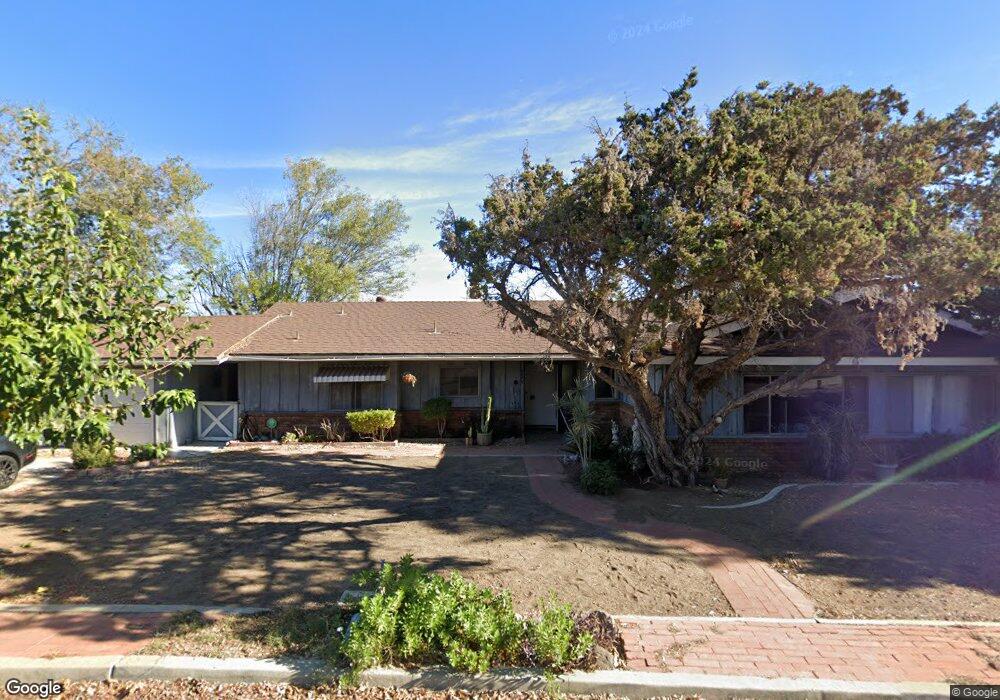
6673 Sunset Cir Riverside, CA 92505
La Sierra Acres NeighborhoodEstimated Value: $698,000 - $728,000
2
Beds
3
Baths
2,025
Sq Ft
$350/Sq Ft
Est. Value
About This Home
This home is located at 6673 Sunset Cir, Riverside, CA 92505 and is currently estimated at $708,351, approximately $349 per square foot. 6673 Sunset Cir is a home located in Riverside County with nearby schools including Rosemary Kennedy Elementary School, Loma Vista Middle School, and Norte Vista High School.
Ownership History
Date
Name
Owned For
Owner Type
Purchase Details
Closed on
Apr 17, 2014
Sold by
Candy Dallas H
Bought by
Candy Dallas Hubbard and The Dallas Hubbard Candy Jr 2014 Revocab
Current Estimated Value
Purchase Details
Closed on
Jan 27, 1999
Sold by
Anderson Janet Susanne
Bought by
Anderson Janet S
Home Financials for this Owner
Home Financials are based on the most recent Mortgage that was taken out on this home.
Original Mortgage
$61,200
Interest Rate
6.73%
Create a Home Valuation Report for This Property
The Home Valuation Report is an in-depth analysis detailing your home's value as well as a comparison with similar homes in the area
Home Values in the Area
Average Home Value in this Area
Purchase History
| Date | Buyer | Sale Price | Title Company |
|---|---|---|---|
| Candy Dallas Hubbard | -- | None Available | |
| Anderson Janet S | -- | First American Title Co |
Source: Public Records
Mortgage History
| Date | Status | Borrower | Loan Amount |
|---|---|---|---|
| Closed | Anderson Janet S | $61,200 |
Source: Public Records
Tax History
| Year | Tax Paid | Tax Assessment Tax Assessment Total Assessment is a certain percentage of the fair market value that is determined by local assessors to be the total taxable value of land and additions on the property. | Land | Improvement |
|---|---|---|---|---|
| 2025 | $4,289 | $355,484 | $73,544 | $281,940 |
| 2023 | $4,289 | $341,682 | $70,689 | $270,993 |
| 2022 | $3,969 | $334,983 | $69,303 | $265,680 |
| 2021 | $3,909 | $328,416 | $67,945 | $260,471 |
| 2020 | $3,846 | $325,050 | $67,249 | $257,801 |
| 2019 | $3,796 | $318,678 | $65,931 | $252,747 |
| 2018 | $3,744 | $312,431 | $64,639 | $247,792 |
| 2017 | $3,675 | $306,306 | $63,372 | $242,934 |
| 2016 | $3,615 | $300,301 | $62,130 | $238,171 |
| 2015 | $3,562 | $295,793 | $61,198 | $234,595 |
| 2014 | $3,550 | $290,000 | $60,000 | $230,000 |
Source: Public Records
Map
Nearby Homes
- 0 La Sierra Ave Unit IG25054953
- 11061 Cypress Ave
- 6420 Stover Ave
- 5935 Kings Ranch Rd
- 10702 Cypress Ave
- 10648 Cypress Ave
- 5714 Eliza Place
- 4477 4479 Gilchrist
- 0 No Street Name Unit TR25194093
- 6 Brown
- 6116 Chadbourne Ave
- 4671 Crestview Dr
- 10555 Robinson Ave
- 6336 Jones Ave
- 4210 Crestview Dr
- 257 8th St
- 11048 Thrush Dr
- 7051 Idyllwild Ln
- 4949 California Ave
- 10201 Oxbow Loop
- 6659 Sunset Cir
- 11130 Western Hills Dr
- 6690 Lookout Terrace
- 6684 Sunset Cir
- 11126 Western Hills Dr
- 6684 Lookout Terrace
- 6650 Sunset Cir
- 6688 Sunset Cir
- 6629 Sunset Cir
- 6670 Lookout Terrace
- 6630 Sunset Cir
- 11139 Western Hills Dr
- 6631 Mountain High Dr
- 0 Lookout Terrace Unit AR16093674
- 0 Lookout Terrace Unit OC22078468
- 0 Lookout Terrace Unit CV19219156
- 15407203 Lookout Terrace
- 11129 Western Hills Dr
- 11140 Western Hills Dr
- 6740 Rolling Hills Dr
Your Personal Tour Guide
Ask me questions while you tour the home.